|
Well everyone has heard of Tahiti but there are several more, less well known islands that go to make up the Society group of French Polynesia. The Society islands stretch out westward of Tahiti and we plan to visit all of these as we continue our way across the Pacific. The small island of Mo’orea is only 20nm from Tahiti and its towering peaks are clearly visible from the airport anchorage. All of the Society Islands have tall, green mountain peaks, and look similar to the Marquesas in that respect, but unlike the Marquesas each island is completely surrounded by a fringing reef. The anchorages are located inside these reefs, which offer good protection from the swell, as well as some nice snorkeling. Like the Tuamotus we have to enter the reefs via a cut or pass, thankful these are generally not as tide dependant so we can come and go fairly easily.
I heart Mo’orea
Mo’orea is a small, heart-shaped (or even Tassie-shaped) island with several stunning anchorages and lots to do and see. Its high peaks are visible from Tahiti and provide a dramatic backdrop for sunrises and sunsets. A soft blanket of cloud often sits gently on top of this enigmatic island, giving it a bit of a mystical quality. We decide to do a circumnavigation with our special guest, Pam, on board for her second visit to ITIKI. I should mention here that it was our dear friend Pam who is responsible for us meeting, on a fateful Anzac day some 18 years ago. I guess if it wasn't for Pam, we would not be here on ITIKI!
We had already spent a few days in Mo'orea prior to her arrival doing a bit of a reconnaissance, and escaping the airport anchorage for a change of scenery while awaiting some packages. The Popular Cook's Bay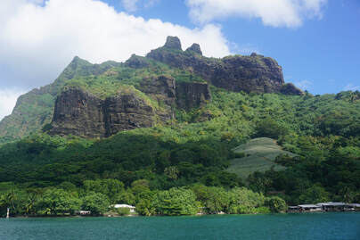 Cook's Bay with one of the many pineapple plantations Cook's Bay with one of the many pineapple plantations
We enter the reef on the north eastern coast of the island, coming in through the well marked channel. Cooks Bay is a long and deep channel, very sheltered, very popular and with boats swinging in all directions it can be hard to find a spot. Mo’orea is famous for its pineapple farms and several of these are visible from the anchorage. We take a walk along the shore to the pineapple factory, which offers a range of artisan liquors, sadly none for tastings… On the way back we bought some of the small, local pineapples from the roadside vendors. They are super sweet, smell fantastic and are delicious.
There are quite a few walking trails up into the hills, but they do start to get a little steep and our legs are somewhat out of condition. Keith and I made it to one nearby lookout for spectacular views over Cook's bay. On our return visit, Pam and I tried to make it to the Three Pines lookout, which has a oversized swing, but the last part of the path was too overgrown and we forgot to take our machete… Still we had a lovely walk through the pineapple fields and super views over the back of the bay.
There is another reason why Cook's Bay is popular with cruisers, you guessed it! The supermarket! Of course we have to visit, we just can’t help ourselves!! They have a great selection of wine, fresh bread and the local beer is on special! What more could you want?! Keith and I returned to the anchorage and on the way back to ITIKI the couple in SV Carina flagged us down. Looked like they were trying to leave but another monohull was over their chain. We didn’t recall the mono being there when we went out, but that’s because it wasn’t! Turns out there was nobody onboard and it had dragged halfway across the bay, hit SV Carina, taking out their wind vane steering in the process. So lucky it didn’t hit ITIKI while we were out! We managed to help them get free from the dragging boat but sadly they sustained some damage and it will be difficult to contact the owner.
A short stop at a short dock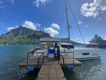 We almost fit on the fuel dock We almost fit on the fuel dock
Its a sad reality but even as a sailing boat we need to burn diesel. Headed over to the Cook's Bay fuel dock, which is tucked into a protected nook on the eastern side of the bay. It was tight, and it is a short dock, but our skipper manoeuvred us expertly alongside and we tied astern and amidships, with our bow hanging over the end. A few days ago we dropped into the customs office in Papeete to get a piece of paper that allows us duty free fuel. It’s still not cheap but much better than what we have been paying.
Opunohu Bay
While Mo’orea is protected by a fringing reef, it is not always possible to go from one anchorage to the next inside the reef. This may not be a safe, marked passage or it is just too shallow. We had to exit the reef opposite Cook’s Bay, head west around the outside and enter the reef again opposite Opunohu Bay. Firstly we anchored in the shallow waters near the head of this long, narrow bay and went for a dinghy ride to check out the shoreline and beach we passed on the way in. Its another stunning bay, surrounded by the majestic, green peaks of Mo'orea. It is super calm and well protected which makes for a good night’s sleep.
Tikis, sharks and rays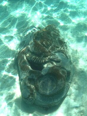 Underwater Tiki Underwater Tiki
After breakfast we upped anchor and went over to the Tiki garden at the western side of the mouth of Opunohu Bay. Took the dinghy the short distance across to the snorkeling area. There are 8 tikis scattered around on the bottom, and a few curious fish doing a bit of gardening on the sculptures. We continue further west in the dinghy to what is known as Mo’orea’s worst kept secret. We wind our way along a narrow but well marked channel through the reef, past some abandoned, over-water bungalows and across to where we could see several day-tripper boats. The lagoon is shallow and you could practically stand on the bottom. We tied the dinghy to a bouy and jumped in. As advertised there are heaps of sharks and rays swimming around, oblivious to everyone, and so close you could touch them. I expect they are regularly fed. Although the place was heaving with tourists it was still an amazing experience. I swam further afield and saw the incredible sight of some parrot fish doing some sort of mating ritual, or maybe just snogging. Such a treat. Back at ITIKI we upped anchor again and moved across to the beach anchorage at Point Vaipahu, and enjoyed a SUP ashore and walk along the sandy beach. It is busy here and popular with the locals, especially as it’s the weekend, and someone is playing Polynesian music really loudly from their car. It is nice ambience at first but it soon wears thin, as does the frequent jetski traffic going past. Still we can enjoy some time chillin' out and sundowners on the cocktail deck.
Ha’apiti Five-0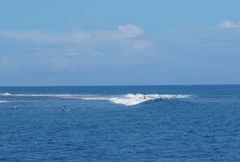 Surf break at Ha'apiti Reef Surf break at Ha'apiti Reef
Upped anchor mid-morning and headed around to Ha’apiti. Again we have to exit the reef and this time we go all the way around to the west coast of the island. This is a famous surfing area and there are already a few grommets on the south side of the pass, a left-hander. Although the cut is not marked by channel markers the charts are accurate and its easy to find. There are big breaking waves either side which we obviously avoid, and a reasonably wide gap. The lagoon here is huge and the water is amazingly clear and calm inside. We anchor with 4 other boats although there looks like there is another couple of boats anchored further south. We spend the afternoon chilling out and swimming from the boat.
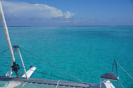
One of the cats anchored further south left early this morning and we could watch him go through the gap. Interesting as it is hard to pick where it is from this angle. Looked like he bounced a little on the way out. Our anchorage is really quite picturesque, with the tall peaks behind us and the shallow, blue waters in front of us stretching out towards the reef. We have the constant sound of the surf breaking on the reef. We go for a dinghy ride early in the morning heading north dodging bommies. We check out the surf spot and there is quite a swell running as we get closer, which is a bit hairy in the dinghy. The surfers are out again and the waves are bigger than yesterday.
In the afternoon the wind swings to the west, which is rather unusual. It's quite strong at first, but settles into about 15kts. Coming out of the reef would be pretty challenging now as the entrance faces west - the wind would be pushing the swell into the lagoon so it would be pretty bouncy going out. We decide to stay put and relax on board.
The wind back's off overnight and in the morning the water is so calm and clear we can see the bottom. We have had sting rays and eagle rays swimming under the boat looking for a feed. The eagle rays are black with white, leopard-like spots, and wide, pointed fins. I decide to jump in and swim with them for a closer look. I thought they would instantly disappear but was delighted to find one just off the back of the boat. Chased him around for a while. They have a snout like the manatee and seem to hoover the sand surface looking for food. This one had a small fish following on behind him waiting for whatever else he stirred up. They are such graceful swimmers, slowly gliding through the water using their fins like wings. I loved swimming with them, chasing them around by the boat following and filming them for a while.
A bouncy departure
We headed out of the gap around 8am. Although the westerly had backed off, there was still a fair swell running from the west. I took the GoPro up to the foredeck to capture the excitement. We had some dolphins come towards us out of the surf and they surfed our bow wave for a while. It got pretty bouncy as we passed out of the reef, I hung on tightly to the genoa but got a bit wet as we bounced over the waves. Very exciting, but the sphincter rating was high for the skipper, although you wouldn't know it from the look on his face!
We followed the reef around to the eastern side of the island, watching the breaking waves from behind - amazing and quite a size. The Va’aire Anchorage is nice enough with a small village, and lovely views over Tahiti. In the afternoon we stayed aboard as we had some squalls come through and a fair bit of rain. In the morning we had more eagle rays and some small sharks under the boat. Sadly though it was time to leave them and head back to Tahiti. Again it was a little bouncy coming out of the pass, but not quite as bad as yesterday! And all too soon our Mo'orea circumnavigation was complete. It was time to say a sad farewell to our special guest Pam. What an amazing gem of an island, and a fun time. This has to be one of our all time favourites.
1 Comment
For most people mention of Tahiti conjures up images of cocktails, beautiful sunsets, coral reefs, bungalows over the crystal, clear blue waters etc. For a cruiser, particularly if you have just spent a couple of months in the remote islands of the Marquesas and Tuamotos, you think of “civilisation” ie the chandleries and the spare parts you need, collecting parcels that have been sent (more spare parts…) and of course the well-stocked supermarket shelves. The Carrefour supermarket in Papeete is legendary amongst cruisers, a huge supermarket and variety store stocked with mouth-watering French cheeses, French wine, NZ meat etc all at eye-watering prices. I won’t bore you with the details of the multiple excursions to this and other supermarkets, needless to say it lived up to expectations. Our fridges and freezers were restocked again!
After visiting most of the Society islands I would have to say that Tahiti is probably the least exotic and interesting of them. However we did enjoy spending some time here and experiencing the sights and sounds from a cruisers perspective.
ITIKI TO TAHITI
The 256nm sail from Fakarava was fairly uneventful. We left with Mai Tai and along the way we passed Beez Neez and Mehalah who both left a little before us. Mehalah took some lovely photos of us under sail, and as you can see we had great reaching conditions. We had two nights at sea and started seeing lights on land around midnight on the second evening. By 4am we were just off Point Venus on the NW corner of Tahiti. We slowed right down so we would come into the main port of Papeete, with good light.
The Airport Anchorage
It’s close to impossible to get a marina berth at Papeete, unless you are willing to barge in as someone leaves, so most cruisers will “do time” and the infamous “Airport Anchorage”. The name is a dead giveaway for its location. The harbour entrance takes us through the fringing reef and just outside the entrance the Papeete Port Control officer called us on the VHF. We had to report our intentions and call them back at the South Cardinal mark which is just to the NW of the busy runway. We did this, got clearance to pass by the end of the runway and were given 5 mins to do so. The anchorage is on the NW corner of the island off the main town of Papeete. The fringing coral reef protects the anchorage from the swell it gets the trade winds wrapping around the top of the island and funneling through the channel . It’s also very crowded, with lots of boats on mooring buoys but we find a spot to the north of them and happen to be right near our buddies Kumo.
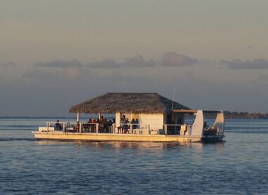 Waka-style party boat Waka-style party boat
On the east side of the anchorage is the airport runway, which is really not that bad, it’s hardly LAX and if you have visitors arriving you can watch their flight land. Across a short stretch of water to our west we can see the towering peaks of Mo’orea, the next island we will visit. It’s a spectacular sight, particularly at sunrise and sunset, and at times thick clouds cling neatly top of its peaks. From the anchorage it’s a long dinghy ride the dinghy docks in either direction, to access the town and the supermarkets, so if its blowing 25kts through the anchorage you are in for a wet and wild experience. If conditions are nicer there is some interesting snorkeling in the bay with a few plane wrecks – ones that fell short of the runway - as well as eagle rays on the coral reefs. Dive boats head out to the reef and day tripper boats (super-sized “wakas” – the Tahitian equivalent of the Turkish Gulets) ply the waters here as well. Out-rigger canoeing (less traditional wakas) is very popular in these parts and mornings and evenings the channel and anchorage sees dozens of teams out doing their training.
Papeete Town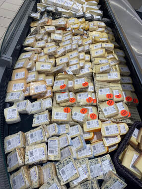 Cheese section at Carrefour - if you know, you know... Cheese section at Carrefour - if you know, you know...
We wasted no time going ashore to the Carrefour Supermarket. It felt like Disneyland after the remote places we have been. Fresh fruit and veg and well stocked shelves. The cheese section is amazing, they have appliances including bread-makers! (I am tempted… but unknown brands). We spend a small fortune and afterwards treat ourselves to a café lunch. The next day spend a day of traipsing around the industrial zone looking for anodes & various other bits and pieces for repairs, maintenance and boat projects – in keeping with usual practice we tick off about 30% of items on our wish list and add a few that weren’t there. As a bonus we find a lady selling home-grown pamplemousse out of the back of her car! Just when we thought we would never see one again after leaving the Marquesas!
Highlights of the island
We hired a car and headed off around the island with Ollie and Sally from Mai Tai. First stop was the lighthouse at Point Venus. It was designed by Robert Louis Stevenson’s father. It’s a square affair and as light-houses go, not really earth shattering design wise – I guess there are limitations. There is a black sand beach here and a great view over to the island of Mo’orea, which will be our next destination. We find here a memorial to the crew of the Bounty, who apparently also made a visit to this anchorage.
We continue on to some waterfalls, via a supermarket to get some bakery treats. There are 3 waterfalls, one with a small pool in front of it and another 2 that we can see from a viewing platform. They are surrounded by beautiful rainforest.
We continue on around the end of the island, looking for somewhere for lunch but don’t really find anything much and end up at a food truck for some baguettes with grilled meat and lots of sauce (and fries). Not so healthy and huge. Final stop is the Botanic Gardens but sadly it closed last week, for 2 years(!), for renovations! We sit by the shore and eat our lunch, feeding the local ducks. A local guy comes by and warns us not to sit under coconut trees, as they can fall on your head and cause death… Ooops!
Of course we finish the day with another trip to Carrefour and do a big shop. The car is packed to the rafters with Ollie’s beer and food for the four of us. It is a bit of a drama pulling up at the Marina where we left our dinghies - we have to do an illegal U-turn in heavy traffic to get onto the other side of the road! It’s all good though and we quickly unload whilst Keith takes the car back.
With lots of fellow cruisers arriving in the airport anchorage at the same time, we have invited friends over for a pot luck BBQ. It is quite a feast as everyone has been stocking up thanks to Carrefour! It’s a really fun night - lots of washing up though and quite a few empties! Danger in the dinghy
We go ashore again in the morning for yet another foray into Carrefour - Sally from Mai Tai comes along with us. There was some live entertainment in the shopping mall with traditional singing and dancing - such a treat. Teams are in warm-up mode for Hieva, which is a festival of traditional singing and dance that is coming up shortly in these parts. More on that when we get to Bora Bora…
We loaded up the dinghy with all our loot and took off back to the boat. Keith decided to follow in the wake of a dive boat which gives us a smoother ride in the flat water behind them. All good until they started heading off in a different direction and we came out of their wake with a splash, ended up coming out of the channel and next thing we know we are in the middle of a bommie! Another boat went past and their wake washed over the back of our dinghy and nearly swamped us. We quickly had to lift the shopping off the floor so that the bread and weet-bix etc would not get too soggy and start bailing. Got the oars out and tried to gondola our way out of the bommie, with a fair bit of scraping and scratching on the way. Some interesting looking coral here and I guess that saves us a snorkelling trip. Finally got into deeper water and could start the engine and take off again. Phew! That could have been a bit embarrassing!
Mid-town Municipal Markets
When it comes to shopping, it’s not all about the Carrefour. The local markets are colourful, lively and offer a great selection of fresh produce, fish and meat, cooked meals, crafts, flowers, souvenirs, fabrics etc. It’s a fun opportunity to mix it with the locals and practice my French, chatting to the ladies on the stalls.
Its open every day but an early Sunday morning excursion to the markets is a must. Unlike most places where everything is shut, this precinct is quite lively. The under-cover market area itself is a bit more low-key than usual but the surrounding streets are closed off to host stalls selling home grown produce and home cooked meals, treats and crafts. It’s all very animated, a little chaotic and very entertaining. Walked back through the town which we had not really seen much of, there are some lovely parks which are well kept and enjoyed. By the Marina Papeete we find a memorial to the victims of nuclear testing. Of course the Muraruoa Atoll in the Tuamotus is a well-known venue for French nuclear testing. Montebello and Maralinga are also mentioned here, as are Hiroshima and Nagasaki. A warm but wobbly welcome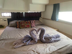 Finishing touches on the guest cabin Finishing touches on the guest cabin
It’s a long time since we had a visitor so we are very excited that Pam is coming to join us for a week! It’s her second time on ITIKI, having joined us in the first season for a week or so in the Balearics Pam’s flight arrived at 22h15 and we watched it come in from our vantage point in the airport anchorage. Wanting her to have a warm welcome I booked what I though was a private transfer to the dinghy dock. Turned out to be a shared transfer with a maniac driver who didn’t speak English, talked and texted the whole time and drove like a bat out of hell! Also he didn’t have change of a XPF50 which caused quite a bit of drama at the time. The 2nm trip in the dinghy in the dark was challenging to say the least. Navigating at night with so many shore lights around and some unlit navigational marks is pretty difficult but fortunately we had Google maps to avoid complete disaster. We took it slowly coming in a bit too close to shore by the runway but made it eventually around the point and to the dinghy dock. Pam was pretty tired and frazzled by the time we finally picked her up and the drama with the taxi driver didn’t help. The dinghy trip back was a little easier but we still had to keep our wits about us to find ITIKI in the dark amongst hundreds of boats. We were all pretty tired and emotional but we had a tot of rum before heading to bed around 2am. Hopefully things can only get better! Well maybe…
At 5:30am we woke to some strong winds. A squall went over which brought us 38kts. Went back to bed once the worst of it had passed, but it blew dogs off chains all day so we could not go into the dock in the dinghy. Instead we had a lazy day on board, admiring the views of Mo’orea and hoping we can get there soon! We had to wait until the next morning for the wind to back off so could do a trip ashore to the markets and bakery, and square up with Sally who sorted out the taxi driver for us. Finally we can up anchor and say farewell to Tahiti for now, head out past the runway again and make for Mo’orea.
Follow us to FAKARAVA Atoll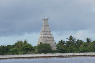
We sailed with the gennaker most of the way from Tahanea but had some rain in the wee hours of the morning and then the wind died. We had to motor approaching the top of the atoll to get around the NE corner. We pulled the gennaker out to try and dry it, but refurled it as we came into the North Pass. It’s a very wide pass, hard to imagine it would ever be problematic with current running through it. Once we got inside we were greeted by the most fantastic rainbow. Ollie on Mai Tai seems to have fallen behind but we found out later he hooked a couple of Wahoo and was trying to land them. Sadly he lost them. The Rotoava Town anchorage is deep and we decided not to float our chain. Nobody else seems to be. We find out later that there are rocks and bommies on the bottom so hopefully we don’t have any issues lifting the chain.
EMPTY SHELVES…
Even though the supply ship has just been through here yesterday, we are shocked to see there is no fresh produce left! The shelves were reminiscent of the toilet paper aisle in Coles during Covid! Apparently yesterday there was a massive “feeding frenzy” of cruisers and what little fresh produce that arrived was gone within the hour! The locals have no chance! We did manage to get some eggs, though as surprisingly there were a few dozen left. We find a shelf-stacker at the back of the store and Keith asks about bananas. He goes out the back and returns with a brown paper bag of fairly dodgy looking specimens but after a week without them, its gold! We also ask about tomatoes and again he disappears out the back, returning with three unripe but healthy looking specimens. Jackpot! No luck with carrots though. I do hope that they hold some produce back for the locals, particularly as we went past one yacht in the anchorage who had a very full bag of fruit and veg on the back of their boat. Went on to the bakery but the baguettes were already sold out so we ordered some for tomorrow. They had carrots and apples though so I picked up some of those - I can’t believe my heart rate went up when I saw the carrots! Only fellow cruisers will understand the bizarre relationship we have developed with supermarkets and small shops in these remote locations. Shopping has become quite opportunistic – ALWAYS take a look inside and if you see something you may want, grab it as you never know when you will see that again. The well-stocked produce shelves in Coles and Woollies seem like a dream compared to what is on offer here. We swear never to take that for granted again!
BLACK PEARLS OF “TAHITI”
After picking up our bread and croissants from the bakery the next morning we head over to a pearl farm for a show and tell. The famous Tahitian black pearls are grown in the atolls of the Tuamotus. It is quite a fine art involving a delicate operation to produce them – think IVF meets dentistry.
I should mention that, unlike the picture, all of this intervention is done with the oyster shell only cracked only about 1cm, to avoid breaking the adductor muscle and killing the oyster!
The pearl itself can vary in quality and is graded after cleaning. In cross section the pearl is solid white inside (the shell ball that was placed in the stomach) with a 1-1.4mm coating of black on the outside. A bit like a Malteaser. The different colour pearls are made from different types of oyster. In Australia we can make yellow pearls, Indonesia has pink ones and Japan has the pure white ones. We ogle over the pearl jewellery (and eye-watering prices) in the hotel gift shop, and stopped by a nearby boutique and craft shop as well. The jewellery made with the odd shaped pearls is much more interesting. MOVIE NIGHT
We have not watched much TV in our 5 years on ITIKI, but now that more and more boats are getting StarLink (satellite internet) downloading movies and TV series is quite common. Went over to Mai Tai for movie night, Ollie had rigged up a bedsheet the back of the boat and had a borrowed projector. Watched a movie called Following Sea about a family who sailed around the Pacific and Antarctica in a boat they built themselves, after getting shipwrecked in the Tuamotus with their first boat. With bed-sheet flapping in the breeze and the familiar pacific surrounds, it really felt like we were with them on board!
A NARROW STRETCH OF LAND
There is not much land on Fakarava, like most atolls there is a narrow strip of land around the windward side. Fakarava at least has a stretch of road. We joined Gill from Mehalah and picked up hire bikes from FYS, they are pretty basic with no gears and back-pedal brakes. We cycle the 10kms to an old pearl place and we are pretty knackered even though it is flat its into the southerly wind! Hmm, should have got electric bikes. The pearl farm has actually closed down but a German guy and his wife are selling off the remaining stock. Gill buys a lovely white pearl, and I buy a few imperfect seed pearls. It’s an easier cycle back with the wind behind us as we head into town. I stop at the church to take a look - It is decorated with lovely shell “chandeliers” made by the local community. Not too far further along there is a Mormon chapel as well – quite a few of those around French Polynesia in fact.
IT SEEMED LIKE A GOOD IDEA AT THE TIME…
I suggested a walk to the old Topeka lighthouse on the North east side of the atoll, one afternoon. We had seen it on our way it and had been told it was worth a visit. It’s still pretty bouncy in the anchorage and we pick up Ollie, before heading across to the airport dock, all the time thinking we are going to get very wet on the way back. The conditions at the dock were pretty awful so we could not leave the dinghy. We headed back to the boats and yes, as anticipated, got absolutely soaked. Ollie was wearing his “old” leg on which he is not supposed to get wet, but we all got totally drenched. Ollie and I decided we still wanted to go for a walk so Keith dropped us off at the town dock. We were both sopping wet and couldn’t really dry ourselves off but it didn’t really matter. Ollie was squeezing the water out of the foam covering of his leg. It was a 30 min walk from town to the light house and slow going. We passed a colourful village (well small group of houses) with lots of pearl float and shell decorations. The lighthouse itself was made from local materials, so mainly coral gravel made into concrete. I’m not sure it was ever used as a lighthouse but it’s a pretty solid structure. There was a rusty ladder climbing up to the top, but it did not look that trust worthy. I walked down to the beach to check out the reef on the windward side of the atoll. There is a small rockpool here and I also spy a couple of purple sea urchins shells that someone has left lying around, and score a few spines for the shell collection. The walk back was slow and we are still not completely dry by the time we get back.
HEADING SOUTH TO HIRIFA
With the swell backing off we decided to lift anchor and head down the channel. Unlike Tahanea we actually have a well marked channel to travel in, so we know that it will be clear of bommies. Put the main up and unfurled the genoa and we had a great sail down. Still had to keep a look out though as its easy to get pushed out of the channel and down onto a bommie when you are sailing. It was good visibility although we had to kick an engine on at one stage to bring us back into the channel, avoiding a bommie we were getting sucked down onto. Note to selves: Better to go to leeward of the bommies when sailing! Hirifa is a large anchorage with plenty of space. We find a big expanses of sand to drop the pick and have such a calm night it feels like we are on land.
WIND AND RAIN
The wind has turned west, defying the usual trade wind pattern, and we are getting a lot of fetch, also lots of rain so everything is wet. We get the clears up and tuck ourselves in. Not much to do but get stuck into boat jobs, maintenance and cleaning. I won’t bore you with detail but there is always some grotty job to do! The reward is a nice, slow cooked, beef stew for dinner - great comfort food. The following day the wind swings to the south and eventually the wave direction caught up so we were more settled. Everyone cleared out of the northern anchorage and started heading south as well. Apparently it got pretty nasty up there, pretty uncomfortable on a lee shore, with lots of swell. Most boats also reported getting their chain wrapped around a bommie, but were able to work together to help each other out and get sorted. We enjoyed going for a SUP ashore, into the mini lagoon between the motus. The tide was running out of the lagoon so we had to paddle hard to get into it, and then we could drift back watching the fish and coral pass below us. Apart from that there is not much else to do here, but relax, appreciate the ambiance and spend some time socialising and catching up for morning coffees, sundowners ashore and lovely dinners with fellow cruisers whilst we were here.
FAKARAVA SOUTH PASS
It’s time to head to our final anchorage in Fakarava (and the Tuamotus), the famous South Pass. Here we find the most fantastic snorkelling we have seen outside of Australia. There are a huge number of boats here, 35+, as people have come from far and wide to witness the annual grouper spawning, which happens on the full moon at this time of year. It is a challenging spot to anchor as there are loads of rocks and bommies, so we need to be careful picking a place to drop the anchor and of course to float our chain – which by now we are getting pretty adept at.
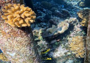 Spotty fish hiding Spotty fish hiding
Drift snorkeling the UNESCO World Heritage listed south pass is one of the most amazing things we have done in French Polynesia. We go through each day, at least once, sometimes twice, on the incoming or outgoing tide, and each time was different. In fact each day just got better. Depending which way the tide is flowing you can either go from the outside to the inside, or the inside toward the outside. Its preferable to go from outside to inside to avoid the risk of getting swept out to sea. We get quite confident jumping in and towing the dinghy as the current carries us along. We are swept past coral gardens and huge variety of colourful fish including giant bump-head wrasse and of course reef tip sharks. Under the restaurant dock on the shore of the pass there are huge “walls” of fish, enjoying the shade and maybe hiding from the sharks, while waiting for some scraps. Reef tips sharks circle around here, on the off chance of a free feed or if any smaller fish break loose from the pack. The shallow lagoon by the restaurant is home to turtles and smaller sharks as well as some colourful parrot fish and worth a side trip if you are not swept past it.
We enjoyed a dinner ashore with some fellow cruisers at the Dive Centre Bar on the north side of the pass with some fellow cruisers. It’s tricky getting the dinghy into the shallow lagoon at night and we gently touch bottom. Hopefully we didn’t run over any turtles!
We had a sumptuous buffet with pizza, local reef fish, chicken, beef and a lovely custard and coconut pie for dessert. The sharks waiting under the dock are lucky tonight, they get the leftover fish carcasses and chicken bones and provide the after dinner entertainment in return!
WHAT’S ASHORE?
Took the dinghy into the rustic-looking dinghy dock, well actually just a big pile of rocks with some stakes in it, and walked along to the "village". No matter how small a village is, there seems to be a reasonable sized church and this small village is no exception. We watched the sharks swimming around the restaurant dock for a while and also found a lady selling souvenirs, pearl necklaces etc. Didn’t bring any money so will have to come back later… Further along there is an abandoned resort with its grass huts out over the water, and a lovely view of the anchorage. It’s still in reasonable shape and we wonder what the story is. Possibly a victim of Covid.
Mid-morning we went for our final snorkel in the cut. So many different fish, lots more sharks than previous days, and plenty of huge bump head wrasse. The wall of sharks didn’t disappoint either, they were there in numbers to bid us farewell. We are off to Tahiti which is 256nm. Left the anchorage and went through the cut at about 4pm. It was a bit bumpy on the outside, but no dramas as we turned right and put the main up as well as a genoa. Great reaching conditions initially, doing 7-8s and a chicken curry for dinner! What more could you ask for!
1. Tahanea Atoll
After our very slow, frustrating, drift/sail we arrived early in the morning and could see land 12nm out. We were a little early for the tides so we motored around for a bit doing some fishing, while we waited for the right moment to enter through the cut (as usual, nothing caught). With the sun out and good, clear visibility we went in through the cut, staying slightly to the left of the visible current. The turbulence in the water briefly blocked the transducers, and the depth read went blank momentarily! A little scary but thankfully short lived. We turned right as we came in through the passage and there was no one in the anchorage so we had our pick of spots. We were able to find a good patch of sand and deployed our chain floats fairly expertly. Ollie on Mai Tai was leading the way, anchored close by and jumping straight in the water to check out both of our anchors. Time to catch up on sleep.
Tahanea is an uninhabited atoll, a nature reserve. Although there are a few seasonal workers living here, fishing and harvesting coconuts for copra, there is no village, no phone signal, no shops. Just us and nature, plenty of sea life and birdlife. Sadly the native trees are being removed to plant coconuts for commercial purposes. Humans can’t seem to leave anything alone if there is money to be made.
Snorkelling the cut
We entered this atoll via the Teavatapu Pass, and this was the first pass or “cut” where we did a “drift snorkel” - a trademark experience of the Tuamotus. The cuts or passes are natural openings in the atolls where tidal currents flow in and out of the enclosed lagoons. Yachts can enter and exit the atolls of course, and the incoming water is rich in nutrients, so sea-life abounds in these passages. Here we can see colourful and healthy coral gardens and a variety of fish of all sizes, progressing up the food chain.
You have to time your swim so that speed of the flow of water is just right. Not so fast that your view is in fast forward, not too slow so that you have work hard to kick and swim. Just after slack tide, we took the dinghy to the outside edge of the pass to catch the incoming current. It seemed a bit rough at first so I stayed in the dinghy and watched the boys for a bit, but eventually jumped in and just held onto the painter. The timing was just right, very little effort required as the tide gently takes you along towards the inside of the atoll. It’s like a scenic railway with the underwater scenery passing below you as you drift slowly by. It’s interesting to see how deep the channel is after coming through it. Its shallow close to the shore where most of the fish and coral are, then it drops off steeply into the abyss in the middle. Next comes the challenge of getting back into the dinghy from the water. The trick here is to leave your fins on and kick like mad to propel yourself vertically upwards so you can get enough of your upper body over the edge of the pontoon. Then follows a rather undignified scramble to swing a leg over the pontoon so you can flop into the dinghy. That takes a little practice!
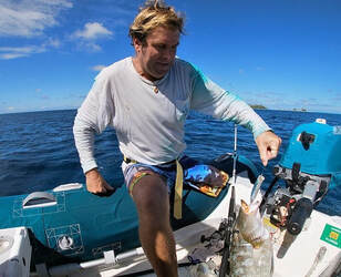 What a catch! (I mean the fish...) What a catch! (I mean the fish...)
Ollie brought a fishing rod with him so we did a little dinghy fishing. Within minutes of casting a line he had caught a Sweet Lips but after deftly removing the hook, threw it back. He was concerned it looked too big and old and probably had Ciguatera. Ciguatera is a toxin that is produced by a marine algae that is eaten by reef fish, who are in turn eaten by bigger fish. The toxin accumulates in the food chain and the bigger and older a reef fish is, the more likely it is to have a good dose of the toxin. Ingesting the toxin leads to diarrhea, vomiting, numbness, itchiness, sensitivity to hot and cold, dizziness, and weakness. Symptoms can be quite severe and poisoning can even be fatal! Best to play it safe and stick to pelagic fish! Or like us, and never catch any fish…
Copra Shed Anchorage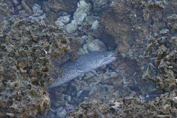 An eel trying to hide in the lagoon An eel trying to hide in the lagoon
When we arrived we were the only 2 boats, but now there are 14 boats! We decided to move down to the Copra Shed anchorage in the east, for a change of scenery. We upped anchor without major incident and had a really easy run down, good visibility and bommies were well marked on the charts, apart from one close to the start of the shelf. The sand patches are huge and bommies well-spaced so we could find a spot where we didn’t need to float our chain. It’s a stunning anchorage with an false cut and a sand spit nearby. There are some copra farmers ashore and one other boat here. After lunch we put the drone up to get a birds eye view, and then go for a SUP. Although it looks like a sandy beach ashore, it is actually coral gravel. Its really tough to walk on, even in reef sandals. We walk around the sandspit, and into the small lagoon between the fringing reef and the inside of the atoll. In the trees there are some boobies nesting and we spot one gorgeously fluffy baby bird that looks like a ball of fairy floss with a beak! I snorkel on some small coral bommies closer to shore and a couple of small black tips are swimming around the back of the boat. A group of 5 remoras has also taken up residence, waiting for scraps.
Overnight the wind switched north and the anchorage got pretty bouncy. With a westerly expected it was only going to get worse so we decided to move back to the East Cut anchorage. A few other boats have moved across here as well. We were expecting the trip back to be bumpy but it was ok, and again bommies were easy to spot.
We went for a drift snorkel through the East Cut. Water was flowing pretty fast but the amount of coral was amazing, even though we scooted past it so quickly!
The next day was very calm so we went with Ollie outside the atoll in the dinghy and snorkeled the drop-off on the windward side of reef. It was interesting to see as it really does disappear into the abyss. These atolls really are anomalies, shallow lagoons that emerge from the very deep waters of the pacific. There was more sea-life closer to shore in the shallows. Did another drift through the east cut as well, this time from inside to outside as the tide was going out and saw much more coral and life on the east side.
One more motu - off to Fakarava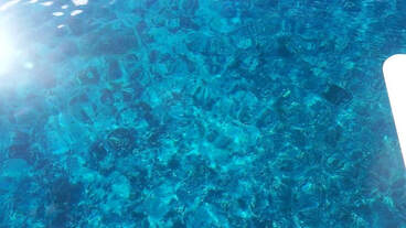 Looking over the bow as we cross the east cut Looking over the bow as we cross the east cut
Well it is time to leave Tahanea and move on to our final atoll in the Tuamotus. Having surveyed it from underwater as we snorkeled it several times, we agreed it was safe to exit via the east cut, even though it is not a marked passage on the charts. We motored out while I kept a lookout on the bow, the water was so clear I could clearly see the coral garden passing below us. We are heading to the northern end of Fakarava where there us town, as we need a few provisions and Ollie is out of beer. Its 90 nm so we will do an overnight passage at "normal" speed.
The Tuamotu Archipelago or the Tuamotu Islands are a French Polynesian chain of just under 80 islands and atolls in the southern Pacific Ocean. They lie between the Marquesas islands and the Society Islands and stretch all the way down to meet the Gambiers in the east. In Polynesian language Tuamotu means 'remote islands' and they certainly are isolated! They are the largest chain of atolls in the world, extending (from northwest to southeast) over an area roughly the size of Western Europe, although their combined land area is only 850 square kilometres (328 square miles) - about 1/3 the size of the ACT! This archipelago's major islands are Anaa, Fakarava, Hao and Makemo and we visited two of those as well as Tahanea. Australians and Kiwis will sadly be familiar with Muraroa Atoll which lies in the far eastern part of the chain. This is one of the atolls where the infamous French nuclear testing took place.
The Tuamotus have approximately 16,000 inhabitants and their own Tuamotuan language which was inherited from the Polynesians, the first known inhabitants of the island. Like the Marquesas, the Tuamotus are now a French overseas collectivity.
All of the islands of the Tuamotus are coral "low islands": essentially high sand bars built upon coral reefs. They are circular or oval shaped with the higher land on the north- eastern sides, and bare fringing reefs on the windward or southern sides. Not much grows on the poor soil, coconuts palms are ubiquitous however and the flesh is harvested to make copra which is made into coconut oil. The lagoons are an ideal place to grow oysters and a number of atolls now host pearl farms, which produce the famous black “Tahitian” pearls and of course tourism has made it to some of the atolls, although it’s easy to avoid when you have your own yacht. Underwater the beautiful coral reefs are teeming with colourful and unique fauna, some of the best snorkeling we have experienced outside of the Barrier Reef, and we very much enjoyed exploring these. Making The Cut
From our anchorage in Taiohae Bay, Nuku Hiva to the atoll of Makemo in the Tuoamotus is 503nm. Each of the atolls generally has one or more entrances or “cuts” which are channels of varying depths and widths that boats can enter into the lagoon, through a gap in the coral reef. The cuts are naturally formed so each cut is unique in terms of location on the atoll, its depth and width and consequently the effect of wind and tide on the way water flows into and out of the atoll. It’s important to ensure you time your entrance through the cut well. Some cuts are known to produce standing waves if there is a strong wind-over-tide effect and you don’t want to be pounding into that coming through a narrow gap! If you have ever been to the Horizontal Falls in the Kimberlies you will have experienced how quickly a large volume of water can flow through a narrow gap, creating rapids. Well its kind of like that in the cuts, although thankfully most are not so dramatic.
It’s not always as simple as approaching these cuts right on slack tide, as some atolls have a huge volume of water wanting to move out, so even at the turn of the tide, and sometime thereafter, water may still be flowing in or out quite quickly. Around the mouth of the cuts, on the inside and outside, water swirls and back eddies and can make it difficult to steer and to line yourself up with a narrow cut. You need to have both engines on and be prepared to use them in anger!
There is a lot of talk amongst cruisers about the best time to enter and exit each of the atolls. One clever cruiser with a lot of time on their hands has developed a very sophisticated “guess-timator” – as an excel spreadsheet it’s a work of art! We try to get our heads around it and figure out what is the best time to go through the main cut at Makemo, but give up in the end and take it with a grain of salt. Now we just have to time our arrival to be in daylight, as well as being no more than 1-2 hours after the tide turns… Yeah right! Making it to Makemo
We set off on Friday morning, about an hour or so after our boat buddy, Ollie on Mai Tai. He is sailing this passage solo so we aim to keep in touch with him on a regular basis along the way. We are two sail reaching with pretty good conditions but still we don’t catch him up until the following day. Great to get some photos of each other under sail. He continued to message us his position every 3 hours so we could keep track of him and await his arrival.
At 2am on Monday morning we put the motors on to ensure arrival in daylight and with a reasonable timing for the cut. Hooked a big bull Mahe Mahe but he jumped a lot and sadly we lost the fish, hook and lure. Dang! It would have been pretty good to see the look on Ollies face, as he didn’t manage to catch anything. It’s flat calm as we arrive so the entrance to the Makemo cut looks fairly benign. We can see some eddies and swirling foam on the water but wonder what all the fuss was about. As we come in we can also see some people “drift snorkelling” on the outgoing current in the cut, towing their dinghies with them. This will become a favourite pass-time in the Tuamotus. We anchor in at the township of Pouhava amongst the rocks and bommies, it’s not the best holding as the ground is pretty hard, but its calm enough for the night.
Are you yanking my chain?!
When you are anchoring amongst coral heads (bommies) it is important to avoid damaging the coral with your anchor chain, which can happen when the boat swings around and the chain rubs against them. The other potential problem of course is that your anchor chain can get wrapped around a rock or coral head, as the boat turns at anchor and this shortens your scope, or end up breaking something. It can be difficult to untangle this and lift the anchor when it comes time to leave, and it is not unusual for cruisers to need a diver to get them out of trouble.
So in the Tuamotus we have to do what is called “floating your chain” when I first heard about it I thought: you must be yanking my chain! What a palava! But it is totally necessary in these parts. It involves:
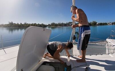 Skipper on foredeck with boat-hook, it must be serious! Skipper on foredeck with boat-hook, it must be serious!
With the anchor on ITIKI set back behind the trampoline, the chain is not readily accessible to reach down and clip these floats on to the chain. We consulted other Helia owners and came up with a system of using a guide wire (VB cord) to take the lanyards on the floats back under the trampoline and into the anchor well so I could clip them on just like I do with the bridle. Needless to say our first attempt at implementing this was somewhat comical. The float lines got caught on the wrong side of the bridle rope and a fair bit of poking and prodding under the trampoline with the boat hook, along with some creative language, was required to sort it all out, much to the bemusement of the rest of the anchorage. In the end we finally got 3 floats on and it looked sort of ok, although probably a bit excessive for such a shallow anchorage. As there was no pressure on the anchor though, the weight of the chain pulled all of the floats together in a bunch – this could get ugly. Once the wind gets up and we pull back on the full scope of our chain, some of the buoys get pulled under water. They are still doing their job of keeping the chain off the bommies though, and we have made some revisions to the process for the next attempt. There are some pointy nosed fish that come by and start munching on the substantial green growth on our bridle rope. I hope they stick around and do the hull as well.
Cruisers' Committee Evaluates the Weather situation
As soon as we are anchored and settled we are invited for 5pm drinks ashore. There is one boat that we have met before, all the other boats we are meeting for the first time but they are very welcoming. If you believed what you saw on Instagram you would think we have perfect weather all the time, however experienced sailors will know that is not the case. We have all seen the forecast strong winds that due from the SE in couple of days – we later find out it is known as a “Squash” – more on that later. Everyone plans to move to another anchorage, either east or west, where the holding is better. We will go east.
Makemo manoeuvres – time to play spot the bommies
Ollie arrives the following morning having done an amazing job going solo for the first time. We go ashore, for a shop and order fuel. I go for a snorkel in front of the boat while we are waiting for delivery and find some big coral bommies with lots of small but colourful fish. We leave around 2pm, which is getting a little late - everyone else has already gone, and for a while we could hear them on the radio working together to spot bommies.
This is our first time navigating inside an atoll. We have been warned that our electronic charts showing the location of bommies and shallows may not be all that accurate and may be missing information. We can use satellite images from Google Earth on our phones, whilst we have internet coverage, but there is no substitute for Mk 1 eyeball on the water. It helps that the water is crystal clear and sun is still overhead. I stand on the coach house and scan in front of us. Polarising lenses are a must and I also use the binoculars to scan further ahead. We have our sonar switched on, but unless you are going quite slowly its warnings are likely to be too late. There are bommies that appear out of nowhere and break the surface. On the electronic charts there are unlabelled circles that seems to correspond to the location of some of the bommies, and it turns out to be pretty accurate. That said, we can’t rely on a blank space being free of danger. We get into a rhythm of scanning, spotting and navigating our way safely to the anchorage at Makemo East.
Anchoring goes much better this time. The water is just so crystal clear it is easy to find a good patch of sand and position ourselves well between the bommies and rocks. We find a larger sandy patch and nail the anchor, the floats go out smoothly and I swim the anchor and check it. With some weather coming we are much better off here, nicely dug in.
Makemo Mayhem
It’s the morning of the day the “squash” is forecast to arrive – what can we expect? how strong will the winds be? What time will it come? How long will it last? Looking at the forecast animation (I wish I recorded it) we see Makemo in a zone of no wind (blue) but coming up from the south-south-east is a sharp edged, dark, angry, red front where the wind goes from nothing to 35+kts. In other words it is going to hit like a bulldozer, pushing some nasties ahead of it.
A squash zone forms when an east-traveling high pressure system is very strong and/or moves very close to the tropics. The isobars on top of it are "squashed" together and the resulting trade winds are pretty strong. These southeasters generally arrive with a nasty cold front after the convergence zone or trough has passed.
We wake to a lovely, calm and sunny morning and go exploring on the SUPs while the weather is fine. It starts to clag in around 11 am and it starts blowing and raining. Not much we can do but sit tight and spend the day on the boat, catching up on jobs and keeping an eye on the anchor and bouys. The wind picks up overnight and the following day would have to be the worst conditions we have ever had at anchor. Fortunately we have never experienced anything like this whilst underway. The low atolls, even with a thick covering of tall coconut palms, provide little in the way of protection and the wind wraps around the bottom of the motus (the thin strips of land on the windward side of the atoll). We had thunder, lightning, torrential rain and incredibly strong winds. There were short, sharp 1-2m+ wind waves pushing through the anchorage as well and bouncing everyone up and down like a hobby horse. It was blowing 30-40kts consistently for several hours and occasionally gusting to 50+ kts. The strongest I actually saw was 58kts but would not be surprised if it went higher, I was just too scared to look at the dials! We just sat and watched and listened and kept checking our position. I will admit that at the height of it I felt like curling up in the foetal position and sucking my thumb.
A boat nearby us broke their anchor bridle and lost a heap of chain through their windlass. We thought they were dragging as they were getting closer to us, but they managed to get it under control. They tried to call us on the radio to tell us what was happening, but with all the noise of the wind we didn’t even hear them. We decided to let out some more chain as well, which was pretty tricky given the blow, but in a brief “lull” of “only” 30tks managed to perform the manoeuvre. Given the circumstances we didn’t put any extra floats on our chain so our floats all disappeared below the surface, dragged down by the weight of the fully stretched anchor chain. Least of our problems at the moment.
It was pretty scary stuff, really uncomfortable, stressful and unsettling, but the anchor didn’t budge and we rode it out. We had been concerned that floating the chain might compromise our holding, but that wasn’t the case. The wind started to back off in the afternoon and 20kts now felt like a gentle breeze. It was a mentally exhausting day even though we didn’t get much done. Everything is wet, our feet are cold and wet. The bimini is leaking pretty badly as well, as the fabric has aged and lost its water-proofness. ITIKI has kept us safe again though and we are so grateful to have such a great boat and a fantastic anchor. I should mention that we also had the moral support of all the other boats around us too as everyone tuned into the same VHF channel and checked in on each other regularly as we all sat around on anchor watch, wondering what was coming next. Although we had some nasty conditions it seems it was even worse further east. We heard from friends in Raroia atoll that one boat got hit by lightning and lost all instruments. 70kts was the highest windspeed they recorded! Although I would not want to experience those conditions again it showed us what we and ITIKI are capable of managing.
Adrift in the storm
Not long after the wind had peaked, Warren from VA (another Helia) put the dinghy in the water to retrieve one of their brand new cocktail deck cushions which blew off the top of the boat. As he was picking it up a wave hit him and he flipped the dinghy. He was now sitting on the upturned hull of his dinghy, drifting through the anchorage in 25+kts. Somehow he managed to flip it back but of course he had lost a fuel tank and the cushion and the engine would not work so he was frantically paddling to try and reach one of the other boats in the anchorage, as the wind swept him onwards. He was already too far from us to retrieve him, Ollie was standing by with a rope, he missed that too and ended up at Sea Bella, the very last boat at the back of the anchorage. They looked after him well by all accounts and bought him back later when the wind had backed off.
A few underwater scenes: The water is oh so clear!
Magical Makemo
The following day our world was a different place. The weather is back to normal, paradise weather, sunny skies and gentle breeze. Ollie had spotted a bommie on the way down here that looked interesting and marked it on the map. We took off in the dinghy to try and find it, anchored the dinghy and went for a snorkel to explore. Ollie took his spear gun which made me slightly nervous but I am soon distracted by a really colourful reef, beautiful coral and lots of brightly coloured, fluorescent giant clams embedded in the rock. The water is crystal clear too. Its good to get back to doing something nice and normal after the trauma of the last couple of days.
The next day we took a morning dinghy ride to the east of the anchorage where we found a sand-spit, beached the dinghy and went for a short walk. The sand is quite pink here, in fact it is pinker than more famous allegedly pink sand beaches that we have visited elsewhere, including the Madelennas in Italy. The sand is coarse, more like shell grit and your feet sink in in when you walk on it. Middle Makemo
Its time to head west, via the town anchorage, but Ollie on Mai Tai had a huge issue getting his anchor up. His chain has seemingly tied a clove hitch around a couple of rocks! He is on his own this takes quite a bit of manoeuvring to undo. The rocks and coral heads can be shaped like a mushroom so when your chain gets tucked underneath it can be very challenging to lift it. Keith went over in the dinghy to push Mai Tai this way and that, and it took about 30 minutes of fiddling to get it unravelled. We had a few minor issues getting our floats up, one of the fenders was split and full of water having been submerged during the Squash. Heading back to town we could essentially follow the track we came down on, but it only takes a meter or two difference in course and you can be on a bommie, so we still had to keep a good lookout.
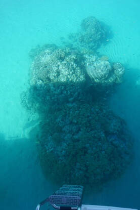 Our own personal bommie! Our own personal bommie!
We continued on the Makemo Central anchorage (Punaruka) which is 17nm from the main town. Again full concentration required to keep an eye out for bommies, particularly on our starboard side as the sun was coming from that direction. We anchored in close to shore amongst the bommies and our chain floating again went quite smoothly. The water is crystal clear and we have one bommie quite close to the back of the boat – checked the clearance with the boat hook - all good! It’s great to have a snorkelling spot so close to the back of the boat, in fact the water is so clear you dont even need to go in to see the fish! In the afternoon we went for a SUP and walked along the beautiful beach. There is a house here, a barking dog and some chickens running around. Quite a few hermit crabs walking along the beach too. They seem to have all the best shells!
It is so still in the morning the water is like glass and the reflections are amazing. We decided to re-anchored back just slightly to the right to get more clearance on the bommies. As it was so clear we could see the marks where the anchor was dropped originally. Of course we are now swinging close to different bommies but we checked the depth again and clearance is good.
I went for a SUP to take some pictures of ITIKI and had some small reef tip sharks swimming around me and under the board. Ollie caught a fish from his dinghy so we enjoyed some sushi. We do have to be careful eating reef fish though as they can carry a toxin called Ciguatera, which can build up in your system and make you quite ill. Exit Stage Left
We left our anchorage at Punaruka mid-morning the next day, planning to anchor close to the Makemo West cut for the night and leave there early the next morning. The distance to our next atoll, Tahanea is only 66nm so if we leave early in the morning we can arrive in daylight. Great plan, however when we got to the western anchorages they were just no good. To the south of the cut there were 2 boats, and one of them contacted us by radio saying there was no clear room to anchor. We headed over to the north of the cut and took a look at 2 possible anchorages, but one had too many big bommies and the other was too deep to know what the bottom was. We went back over to the south anchorage to take a closer look, taking a shortcut across the channel of the cut and clipping a rock. Oooops! Left a little anti-foul paint on that one@
The south anchorage was even worse than the other two. The two boats that were there said that they were not anchored but had their chains wrapped around bommies. Hmmm not a great practice. We were between a bommie and a hard place, literally! It was too late to safely return to last night's anchorage so we conferred with Mai Tai and decided to head out of the cut and do a slow overnight passage to our next atoll, Tahanea. We stayed in close contact with Mai Tai throughout the afternoon and could see him most of the night as well. Our poor autopilot was working hard to steer given our slow speed, we were making 2-3 kts with just a reefed genoa. It is actually really hard to sail slowly when there is enough breeze to go at normal speed, but we definitely didn't want to arrive in darkness and have to wait around at the cut for enough light to go in. Makemo was our first atoll, first time navigating the infamous passes into and out of the atolls, first time anchoring around bommies and floating our chain and definitely the first time we have seen 58kts at anchor! All in all a great learning experience and we are ready to tackle the next atolls so stay tuned for more! Oa Pou & Nuku Hiva
The northermost islands of the Marquesas are a little further away so we have an overnight passage to get to the next island, Ua Pou. After some dinner and rest we head off again at 9pm from Hanamenu, Hiva Oa. Had to motor for a good 4 hours before we got clear of the lee of the island and enough wind to hoist the kite. It was a little twisted from the loft pack, but Keith managed to sort it out and we got it up at around 1am in 10 kts. The repair looks fairly neat and strong. We held the kite overnight, gybing once. It was challenging at times as wind was light and shifty but it was good to see our Parasailor in action again.
OA POU ISLAND
We decided to take a look along the west coast of the island of Oa Pou, rather than going around the east side to another town. As dawn broke we could see land, so nice and novel to do such a short overnight passage! Held the kite until we lost the wind in the shadow of the island and motored close in to take a look at anchorage options. Had huge pods of dolphins come and play with us twice as we travelled up the coast. We ended up in Baie de Vaiehu which is deserted and surrounded by a spectacular rocky shoreline. The water in the bay is a little murky, stirred up by the strong swell and with some foam. Later on we did a tour of the shoreline by dinghy. There are some amazing rock formations, blow holes and caves. Had cocktails to celebrate our anniversary and the last of our Martinique duck for dinner.
A couple of other boats arrived as did Mai Tai so we stayed an extra day, exploring the bay on our SUPs and catching up on news and drinks. NUKU HIVA ISLAND
From our anchorage at Oa Pou it’s a relatively short hop of 32nm to the final island we will visit in the Marquesas. We sailed across most of the way to Daniel’s Bay anchorage, with Mai Tai not far behind. There is quite a swell running, crashing into the rocky shoreline. The entrance to the bay is difficult to spot at first as there is a channel which doglegs around a headland. The channel is well charted and once inside the bay opens up to a spectacular vista. I have used the word “spectacular” a lot to describe the anchorages in the Marquesas I know! The towering mountain peaks that shelter these bays really certainly have the “wow” factor. Here we have all round protection and once we are tucked into our anchorage we can’t see the entrance anymore. The water is clean but is not crystal clear and we see a few small and curious reef sharks around the boat. We are anchored on the eastern side of the bay, where there is a beautiful white sand beach. West of us is another beach which is black sand. Not quite sure how that works!
HAKAUI WATERFALL
Dinghied over to Hakeata bay (the black sand beach) to take a walk to the Hakaui waterfall. There is a small fee to pay to access the trail which passes through private property, and the caretaker offers us some juicy fresh pamplemousse for the journey (with a promise of more on our return). Passed a small restaurant along the way so we booked in for lunch on way back. The walk was quite a rugged path, with several creek crossings so we are glad we wore our Tevas. We got to a sign that said “access interdit” and it took a while to figure out where the path went next. We had to cross the creek halfway before we could see the rock cairns up on the opposite bank. Keith slipped and dropped his last pair of good sunglasses into the rapids, cursing as they made their way downstream, never to bee seen again!
We have now entered a narrow part of the valley surrounded by high cliffs and looking up the sky through a very narrow opening. There is a reasonable risk of rock fall here and we were warned to stay quiet. There is a small rock pool and we can see the waterfall through a crevasse in the cliffs. We walk through the mud, around the pool and scramble up onto a rock to get a better view. You can swim through the canyon to get right under the waterfall, but we decide to watch some others do that instead, eating some pamplemousse to sustain us for the walk back. It's pretty juicy and messy but delicious. The walk back is a quicker as we know where we are going and we are ready for lunch at the local restaurant, Kua et Taikai. The food is delicious. Fresh Tuna marinated in herbs and river prawns, caught this morning and cooked in fresh coconut. We buy some bananas and mango from the restaurant. On the way back to the dinghy we stop at the caretaker’s house and as promised he gives us a heap of pamplemousse and limes. I fashion a makeshift shopping bag from a sarong – these suckers are pretty heavy! What will we have for sundowners tonight? You guessed it – pamplemousse gin. CIVILISATION AGAIN
After the weekend, and the May Day public holiday it was time for another taste of “civilisation”. Its only 4nm around to the main town of Nuku Hiva, Taiohae Bay. It was pretty bouncy coming out of the bay and still quite rough until we got into the lee off the headland at the east of the bay. The bay and anchorage is huge – there are plenty of boats and lots of room - quite a swell in the bay with surf breaking loudly on the shore. Getting into the dinghy is challenging with it bouncing around and we have to be super careful. We head ashore for a reccie, the supermarkets are dire in terms of fresh fruit and veg, but we find the fresh markets near the dock to be pretty good. We have also managed to organise haircuts, which is a real treat as those selfies are looking a bit shabby!
The dinghy dock is probably the worst I have ever seen. A dozen or so dinghies surging back and forth against the high concrete pier - ouch. The fishermen are cleaning their catch along pier and tossing the scraps into the water, which attracts a good number of fair sized reef tip sharks for a feeding frenzy. A couple of dinghies have swung quite close to the fishermen, so I hope they don’t return to find fermenting tuna in their boat! ROAD TOUR OF NUKU HIVA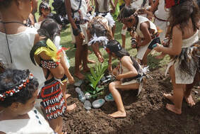 Tree planting Tree planting
We have hired a car for the day to do a road trip with Ollie from Mai Tai, and up into the steep hills we go. The roads are windy and we climbed through numerous switch backs. There are regular stops for panoramic views of the bay, and we can almost see ITIKI! In the next valley we come to a village, where there is some kind of school carnival taking place. All the kids and teachers are in colourful, traditional costumes with different groups and themes. We watched a tree planting ceremony which has accompanied by some drumming and traditional singing, all in Marquesan language. This was followed by some dance routines, story telling different teams taking turns. We stayed and watched for a while - such a lovely, chance encounter.
Back up into the hills again and over the next ridge we came down into the valley to visit a historical site, a ceremonial meeting area of which there are a few remains. The valuable items have been removed but there are some replicas in place. Continued on to another small village, with a lovely church and a black sand beach. Hatiheu Bay is wide looks like a good anchorage surrounded by dramatic cliffs and rock formations along the shore. We stopped for lunch at the only restaurant, Keith had goat and Ollie had pork – both suspected road kill. I had curried fish, much better choice.
Up into the hills again and took another turn off towards the airport for some more winding, switchback roads. Stopped at one view point and then continued on to another, called the Grand Canyon. We are now at the highest point on the island and it is cold, windy and damp up in the clouds. We can see down along a vast canyon into the middle of the island. It is lined with fir trees and all very green and fertile.
On the way back to we stopped via the one supermarket we had not yet visited and were quite excited to find Aussie WeetBix! Yee haa! Only other cruisers truly understand the excitement and significance of such a supermarket find...
When we got back we found our dinghy had been moved and the prop was smashing on the concrete ramp. Great! One last stop to get dinghy fuel, pick up a gas bottle and load all of our shopping (mostly Ollie’s beer) into the dinghy and bounce our way back to our boats, thankfully getting all on board without losing any people or goods. We now have to say “au revoir” to The Marquesas as the clock is ticking on our 90 day visas and there is so much more to see. Tomorrow we have an early start to make the 503nm to Makemo, our first atoll in the Tuamotus. THE MARQUESAS
French Polynesia is made up of 120 islands and atolls, stretching over 2,000km in the South Pacific Ocean. There are 5 main island groups: The Marquesas, The Tuamotus, The Society Islands, The Gambiers and The Australs. Each island group has a unique language, but French is taught in schools and is widely spoken. We are allowed 90 days in French Polynesia, as non-EU citizens so we plan to visit the first 3 mentioned groups and to divide our 3 months equally between them. That should be plenty of time, right?!
France in the South Pacific
Tahiti was made a French protectorate in 1842 and a colony in 1880. French missionaries went to the Gambier group in 1834, and in 1844 a French protectorate was proclaimed, followed by annexation in 1881. The Tuamotus were claimed as dependencies of Tahiti within the protectorate by France in 1847 and became part of the colony in 1880. In the Marquesas, Nuku Hiva was annexed to the United States in 1813 but the annexation was never ratified. French occupation of the group followed the landing of forces from a French warship, and in 1842 the chiefs ceded sovereignty to France. The islands were administered as the French Colony of Oceania and the territory went on to become autonomous in 1984. In March 2003 France changed the classification of French Polynesia from overseas territory to overseas collectivity. Nowadays tourism is a big money earner throughout French Polynesia and the French government still kicks in significant financial support.
Les Iles Marquises
The Marquesas Islands group is our first stop in French Polynesia and one of the most remote in the world. It lies 4,800 km west of Mexico (the nearest continental land mass). It is thought to have been formed by a centre of upwelling magma, called the Marquesas hotspot. The islands are characterised by towering, craggy peaks and lush green vegetation. The islands were colonized in the 10th century AD by voyagers from West Polynesia. Over the centuries that followed, the islands have maintained their unique cultures and languages.
Our arrival
It's mid-morning on our 18th day at sea when we start to see land - the cloud-topped mountain peaks of the island of Hiva Oa - at about 33nm out. The wind had been backing off, as was our boatspeed, which had fallen to 3.8kts – our ETA was getting later and later. We decide to put the engines on for the last 30nm so we can arrive in daylight. The anchorage at Atuona Bay is a tricky one, very tight and subject to swell and swirling winds. It also has to accommodate large supply ships on a regular basis, so we are hoping we can find a spot! As we get closer to the anchorage we can see a large monohull moored outside the bay, where it is a bit rolly. Turns out to be friends on VooDoo a Hylas 70 that we met in Bonaire and spent Christmas and New Year with in Santa Marta. We wait for a large ship (The Aranui V, a combination supply ship and cruise ship) to come out of the anchorage before heading in. The anchorage is tight but we somehow find a space. A few boats have stern anchors set to stop them swinging around. We find Glam as well (also friends from Bonaire/Santa Marta) which is lovely. We auto-connect to their WiFi as we go past them and our phone start pinging with lots of messages! Voodoo drop by in the RIB to say hi. So lovely to be greeted by friendly faces after such a long journey.
We have lost track of time on our journey but it turns out its Easter Saturday in this Catholic country so we can’t check in until Tuesday! A few bonus days to add to our 90 day allowance. We send off a few emails notifying family and friends of our arrival, and hit the hay fairly early. It’s nice to move back into our own side of the hull.
Tahuata Island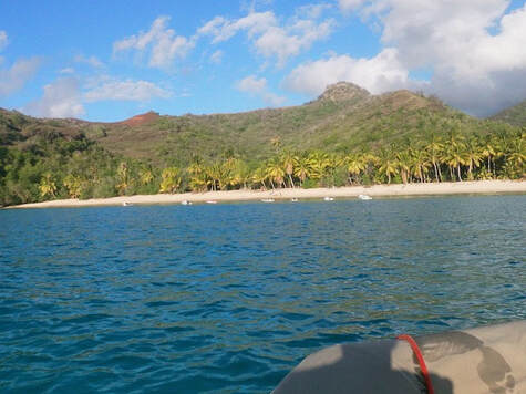 Beautiful white sand beach Beautiful white sand beach
We up anchor mid-morning and head the 12nm to the anchorage of Hanamoenoa on Tahuata. It’s a popular anchorage for cruisers, with a beautiful white sand beach the obligatory coconut palms. A welcome change from Atuona harbour and much more like what we expected to find on our arrival in Polynesia.
Despite averaging 6.8kts across the Pacific, we have a huge amount of growth on our hulls, including some reasonable-sized goose-neck barnacles. The brown goo spreads high above the boot stripe and it’s a dead give-away that a boat has just arrived in French Polynesia - along with the yellow flag of course! This is a great place to start trying to clean it off - it takes a fair bit of work and in some places it starts to stain the gelcoat. The water here is beautiful, warm and clear and we tackle a section each day. We head ashore in the afternoon for drinks on the beach with fellow cruisers. The beach is quite steep so you have to anchor your dinghy outside the breaking waves and swim ashore. Everyone floats around in the surf, chatting, getting dumped and giggling. Where are the dolphins?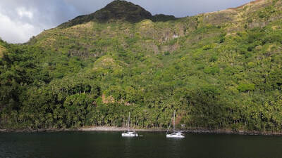 ITIKI & Glam, in "No Dolphin" bay ITIKI & Glam, in "No Dolphin" bay
We have been told about a bay where a pod of dolphins live and that we can swim with them. Not really sure about the location but it seems like a good idea. Glam head off and we follow, finding a nice enough bay (Hanetefau) that we think is the right one. Apparently the dolphins came in the morning, so we missed them and will have to wait. Glam team come over for coffee and banana cake instead. The next morning we don’t see any dolphins and decide it’s time to head back to Hiva Oa to check in and restock the pantry.
Checking in and getting stuff done
Atuona, Hiva Oa, is not a lovely anchorage, however here we have access to supermarkets, fuel, chandlery, sailmaker etc and we need to officially check into French Polynesia. As businesses open up again on Tuesday we reluctantly head back to civilisation. The town is 3.5km walk from the dinghy dock, slightly shorter if you cut across the beach and detour up the goat track, but our legs are a bit out of practice and there doesn’t seem to be any taxis. I spot the couple from the boat anchored in front of us getting into a rental car and in my best, very rusty French manage to cadge a lift into town. They are quite obliging, taking us around the key land marks including the gendarmerie, bank and supermarkets. Very nice of them. We go to check in which is relatively painless. Then we have to go to the post office to post our own customs form to Tahiti – less painless... The PO is only open in the morning as they are short staffed and the queue is a mile long. Not sure how it works though as people seem to come and go, seemingly other people have held their place for them. Finally there is general consensus amongst those waiting that it is our turn. We also get some local SIM cards so we are now back in business and can reconnect with the world. Of course the pantry is pretty bare, particularly of fresh foods, so we do the rounds of the supermarkets and buy way too much to carry. There is one restaurant in town and we struggle there with our booty and order one of two options that has not been crossed off the menu. Delicious curried prawns with frites and green beans. Meals are pretty pricey but we have since come to expect that in FP, eating out is expensive. The restaurant folk kindly offer to take us back to the port with all our shopping.
Kite sewing and sight seeing
There is not much to do or see in town, but our legs need some practice so we tackle the hike. We cut across the “beach” at the head of the bay, taking a big leap across a stream and then finding a steep, goat track up to the road. There are mango trees along the way and we help ourselves to some healthier looking specimens. In the town there is a Paul Gauguin museum which displays many copies of his artwork, stories of his time in Hiva Oa, French Polynesia and a recreation of the studio where he painted. Like many artists he died in poverty while his works went on to sell for $$$. He died in 1903 and is buried here in Hiva Oa.
After seeing the sailmaker to discuss our repair, and picking up our package, we head back to our now favourite, lovely beach anchorage at Hamanoenoa and wait for our boat buddy, Mai Tai to arrive. We spend a couple more days here, just enjoying the surrounds, with SUP trips ashore and walks along the lovely beach. Mai Tai arrives just after lunch so we take some fresh fruit and beer over to help them celebrate. Later we head ashore for sunset drinks so they can set foot on dry(ish) land. Great to have a debrief and celebrate their achievement.
Fatu Hiva
From our anchorage at Hanamoena Bay its 51nm to Hanavave on the island of Fatu Hiva. Many cruisers make landfall at Fatu Hiva to avoid the windward sail to get here from Hiva Oa. It’s not possible to check in at Fatu Hiva so doing this risks running foul of authorities and we had decided we did not feel comfortable with that, although after our passage here we could totally understand why people do it. We sailed down under main and Genoa, close hauled. Sea state was pretty bumpy with swell coming from two directions, a very short chop and quite unpleasant. We sail as far as we can but 12 miles out we are 7nm off course and going to miss the island completely, so we put both motors on, furl the genoa and head directly to our destinations. Had some dolphins drop by briefly to greet us, but it was too rough to go to the bow to watch them so they did not stay too long. Motoring into it wasn’t much fun either. Glam are already here and other friends and fellow cruisers arrive from their Pacific crossings whilst we are here, so we enjoy lots of celebratory catch ups.
The anchorage is spectacular, surrounded by lush green and very high hills on each side, with rocky outcrops that look like the famous easter island statues. Amazing! The bay used to be called the Bay des Verges (=penis) but the missionaries didn’t like this so they decided one of the rock/statues looked like the Virgin Mary and changed the name to the Bay des Vierges (=virgins). Nice one missionaries!
There is not much ashore, a small village and one shop, which wasn’t open very often. We met a local chap (Poi) who offered us some fruit and to take us on a tour of the island. We got some pamplemousse, limes and avocados and bought a bone carved necklaces from him, the Marquesas symbol. Walked up into the hills as far as the road would take us. It’s very green and fertile, with spectacular views through the valley and back down to the bay.
So many fellow cruisers have arrived, so we invited a few people over for drinks. They packed their kids off to Glam for movie night and the adults joined us. It got a bit ugly when Angus pulled out the Martinique rum… So lovely to hear everyone’s stories from their crossings.
Vaieenui Falls
We joined the gang of “kid boats” for a walk to the waterfall, it’s quite a crowd with all the kids but lots more fun. We weren’t paying attention and ended up taking a wrong turn but came across a pretty amazing tree with lots of roots. Doubled back and found the right path, which was pretty obvious, and walked through a farm past a very large bull who was sitting down calmly. The waterfall is a very high, shear faced cliff with not so much water falling. The water in the pool is clear and clean and everyone is in for a swim – so lovely and refreshing to swim in fresh water. We find a few eels and yabbies around the rocks. The kids and their dads decide to jump off the rocks into the water. On the way back the bull is up and about and being rather aggressive but we manage to scoot past him, fortunately his tether held him back! Later we pass some barking dogs and one of them goes for little Matilda. Keith runs at it, shouting and waving his hat and it runs off. She was quite rattled.
Back in the town we visit a lady who is making banane sechee or dried bananas, in her yard. This is a traditional Marquesan treat - the bananas are peeled, sliced in half and sun dried, then wrapped tightly in a bundle, tied with banana leaves (traditionally) or cling film (not so traditionally). We bought some of these as well as some local honey and also helped ourselves to some fresh rosemary from her garden.
Road trip, Fatu Hiva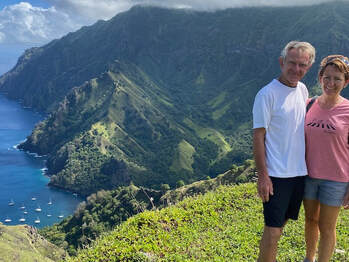 Overlooking the "Bay of Virgins" Overlooking the "Bay of Virgins"
There are only 20 odd kms or road on Fatu Hiva, nevertheless we can go for a road trip. We met Poi a couple of days earlier when he offered us some fruit and also to take us around the island. The roads are naturally very steep and negotiating the switch backs requires some concentration and a couple of 3 point turns. We stopped at a few different places to admire the views which were spectacular.
Poi explains about the “le trou d’amour” which is a small hole in one of the soaring cliffs overlooking the island. Legend has it that lovers had to go here to consummate their relationships otherwise they would not be accepted by the village. In reality though it is quite impossible to get to, even for mountaineers. The interior is rugged and the mountains steep and rocky. About 400 people live on the small village of Hanavave where we are anchored, a few more live in Omoa the southern village.
As we wind down the other side of the island the landscape changes - different types of trees here and it is much warmer and drier. The village is only slightly bigger than Hanavave but there are a couple of shops. We visit the community gathering area, a feature of many Polynesian villages, and here there is a great collection of stone Tikis. Some have been are gifted to Fatu Hiva by other Marquesan islands and show characters from legends and fables. We visit the church with its stain glass windows and beautifully carved wooden lectern and sacristy. Next it is on to see an artisan couple that makes tapas – not the Spanish foody kind! These are tattoo style ink paintings that are done on bark. The bark of the bread fruit tree (l’arbe a pain) and another type of tree are used. The bark is pounded until it is flat, thin and pliable, almost like a stiff leather, it can be white or fawn. We buy a white one of course, a lovely souvenir.
Poi tells us his wife is currently in Tahiti to give birth to their 3rd son. The health system pays for her to go but not him so he needs money for a ticket, which is quite expensive. We pay him the money for the tour and he promptly buys a bottle of rhum… Swimming with Mantas
In the afternoon there was much excitement on Miles Away, who are anchored nearby, as there were some manta rays swimming around the boat. Keith and I took a break from boat jobs and jumped into the water with camera and snorkelling gear. They were amazing to swim with, sometimes coming directly towards you with their huge mouths open. The water here is not so crystal clear so it seemed like they just suddenly appeared out of the darkness.
What exactly is a pamplemousse anyway?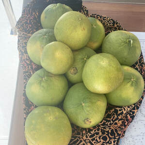 Freshly picked pamplemousse Freshly picked pamplemousse
On our walk around the village one day we came across an artisan making stone tikis. He had the chain saw out and was carving some red rock. We stopped to watch for a while and got chatting to him. He showed us an amazing chess set that he had carved from wood, each of the pieces was intricately done and the base of the table was carved into the shape of a turtle. He will be exhibiting this at an up-coming Marquesas expo in Tahiti in a couple of months’ time. It has taken him several years to complete the chess set, and he is still working on a couple of chairs to go with the table. He is responsible for a couple of the Tikis we saw over at Omoa as well including the lovely one of the couple back to back on the waterfront.
As seems to be tradition here, he generously offered us some fresh fruit. He disappeared for a few minutes and came back with several large pamplemousse which were growing in his garden. What is a pamplemousse? Well in short it is French for grapefruit, but these Marquesan pamplemousse are no ordinary grapefruit. They are at least twice the size of the standard yellow supermarket variety that we get back home, and at least 3 times as juicy and delicious. Just the right mix of tart and sweet. They grow like wildfire in these parts and wherever we go we are offered this delicious fruit, often for free. It takes a bit of practice to peel and pith them, the skin is very thick and each segment is covered by fibrous pith, but the rewards are worth it. Pamplemousse gin becomes a new cocktail our favourite around the anchorage!
Back to Hanamoenoa, Tahuata, again
Well it is such a lovely spot, it became our base to return to. Set out around 7am and the sail was much better than the way down, with swell from only one direction, it would have been good with the kite but that’s still with the sailmaker, so we had to goosewing instead with main and gennaker. Domino (a 35’ mono) who left around the same time, have an asy up doing good speeds and over took us at the bottom end of Tahuata. I got some photos of them with the kite up which I sent later. We get to Hamanoenoa and head to the beach with Ollie for the Mowzer twins 10th birthday party, complete with pamplemousse gin for the adults!
We spent the rest of the weekend here going ashore on the paddle boards, doing circuits with Zoe and Yoga with Erin, nice to get back into some physical activity.
A hard day & night
Hanamoenoa, Tahuata Island to Atuona Bay, Hiva Oa (8nm) to Hanamenu Bay, Hiva Oa (15nm) to Baie to Vaiehu, Oa Pou Island (65nm) – sometimes we just like to push ourselves! After yoga ashore we head off to Atuona, Hiva Oa to collect our Parasailor. The bay is full and it’s difficult to find a place to anchor with boats swinging every which way. We end up near the mouth of the bay, not ideal and very rolly, but good holding.
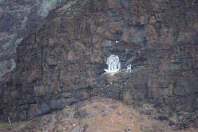 Virgin Mary up in the cliffs Virgin Mary up in the cliffs
The boat is a bit of a shit fight but with missions accomplished there is no need to stay in this horrible anchorage so we fire up the engines and head off, hot and exhausted already and its only lunch time. We manage to pull out a sail for a bit but as we get closer to our destination, and around the western-most point of Hiva Oa where the wind turns onto the nose as it wraps around the top of the island. We have wind over tide, short sharp chop which is uncomfortable but only for a couple of miles. The anchorage is a long bay, deserted and seems well enough protected. There is a statue of the virgin Mary perched precariously, high up on the cliffs above us. I don’t think she gets too many visitors.
How we crossed the ocean
From The Galapagos Islands of Ecuador to the Islas Marquises of French Polynesia will be the longest single leg of our journey home in ITIKI, at 3020nm (that's 5,600kms)! After a very easy run down from Panama to Galapagos, and after a lot of discussion and reflection on how far we have come, the passages we have done, the conditions we were expecting, we decided not to take on any crew for this passage. It would just be the two of us. We felt confident we could do it, mentally and physically, although in the back of my mind I knew it would be challenging for me if something happened to Keith. We felt we were pretty well prepared though, and although you can’t control everything on balance we were quietly confident.
To put our journey into perspective, this 3,000nm leg to the Marquesas from Galapagos is nearly 5 x the Sydney to Hobart yacht race (which is 628nm). Since we picked up ITIKI in La Rochelle we have done 19,000nm (34,000km) as far as the Galapagos. The furthest point east we made it was in Turkey, which is now 7,150nm away (13,240kms, as the crow flies) from Galapagos. Our home town of Sydney now lies 6,950nm to our west. Once we arrive in the Marquesas we will be only 3,900nm (7,200kms) from home!
How do you prepare for 3 weeks at sea?
We expected the Pacific passage to take just under 3 weeks in total, assuming we would head south to pick up the easterly trade winds and then turn right to have a down-wind run. This leg is known as the Coconut Milk run after all. Preparing for any long passage, the main focus is on safety of course but comfort has to come into it as well. We have a checklist of standard preparations, here are some of the key points:
And we are off!
With the Galapagos exit inspectors gone, we have a final cup of tea and can delay no longer. We lifted anchor about 11:30am, John and Gill from SV Mehalah waved us off. Bearing in mind we are still in the area called the Doldrums, we expected some lightish conditions before getting into the solid and reliable easterly trade winds. We were advised to head south to 4-5 degrees latitude, before turning right to run downwind. We have a good SE breeze initially steady at 12kts so it's perfect for the gennaker. Seas are flatish initially with good current in our favour so we are making great speeds. The wind soon built to the limit of the gennaker so took it down, and didn’t lose much in speed at all with the genoa.
That’s been a long time coming!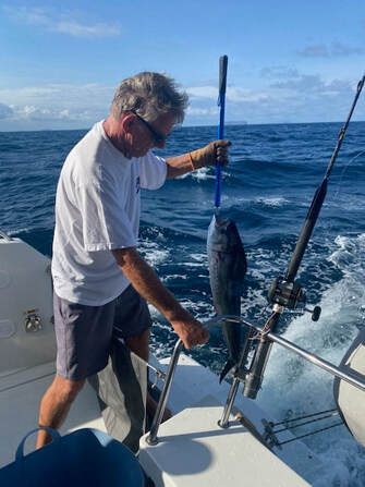 Keith vs Mahe Mahe Keith vs Mahe Mahe
Just before 4pm, just to the south of Isabela, we heard a sound that we haven’t heard before. Yes the zing of the fishing rod! I bring the boat up head to wind to slow her down while Keith tries to reel it in. We were doing 8s and I dropped her down to 4s which seemed to be enough. Keith thinks we have lost it for a while but as it comes closer we see the unmistakable shape of a Mahe Mahe, and a good sized one too. I frantically rifle through the lazarette to find gloves, the gaff, the woefully inadequate net and finally the big blue plastic bucket. The fish is really fighting as he gets the transom, Keith gets the gaff in but it is not a fatal blow. Sadly it is not a quick death and we both really feel for this creature. We tell ourselves we will honour it by savouring its flesh…. As it dies the bright yellow colour slowly fades. I manage to take a few pictures and get a message off to Ollie from Mai Tai, whose rod we are using, and TheWildThings, who gave us our most recent fishing lesson. Keith manages to kill our catch with the filleting knife and eventually hacks off the head and removes the intestines without puncturing them. I find the fishing book and open it to the filleting page and set up the BBQ/filleting tray. Keith does his best to skin our catch - all up landing the fish and getting it filleted took about 1.5 hours. I am sure we will get better with practice! Anyway that’s dinner sorted tonight, and tomorrow night, and 2 more serves in the freezer. I am glad I didn’t rush to the fish markets this morning! It was also lucky we had the genoa up and not the gennaker as we probably would have had to furl the latter and probably would have lost the fish and all the line!
Strange Currents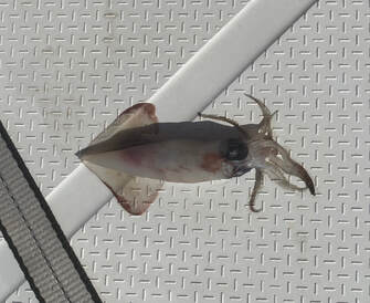 One of many flying squid that we caught One of many flying squid that we caught
On my watch around 3am we go through a very strange patch of water. It was dark but it suddenly sounded like we were sailing through rapids. I put the torch out and saw flatish whitecaps even though we only had 8kts TWS. Wind over tide it seems as the current was 2kts on from our starboard side, on the beam, whilst the wind is directly opposite on our port beam! The torchlight picks up hundreds of tiny fish (or maybe even squid) jumping and occasionally something larger chasing them! I also see some floating plastic bottles. This lasts about 20mins and we are back to normal seas again. Very strange.
Later that afternoon I see some whale blows about a mile away, then some dorsal fins and later 2 small whales breaching. Its lovely to see them but the recent experience of SV Raindancer I mentioned earlier puts a dampener on the experience. Sunset is spectacular with the clouds on the horizon looking almost like trees. There is a sliver of a moon just above the coral coloured horizon which sinks not long after the sun. The sky is fairly clear most of the night and stars are magnificent. Rinse and repeat
As the journey rolls on, the days start to blur and become repetitious. It is a little boring, which actually is a good problem to have! With just two of us, we keep a pretty standard 4 hour watch system. It goes like this:
We keep the same times and fall into a routine. During the day when there is good visibility we rely on the autopilot and use the time to do odd jobs, prepare meals, catch a few zzzzs etc Once the sun goes down we are stricter about keeping a look out. Fishing boats become rarer, but they are often not on AIS and so we keep a lookout for lights on the horizon. When off watch, catching up on rest and sleep is really important. On shorter, overnight passages through busy traffic areas the “off watch” person sleeps in the saloon on the sofa to be close at hand, but on this longer passage where there are few other boats around, its nice to sleep in our own bed, even though we are not in it at the same time. The only problem is that the autopilot is on the starboard side and the intermittent and irregular groaning coming from the hydraulic arm of the autopilot is enough to drive one crazy, as it is right next to your head. So we make up the bed in the port aft cabin and that is where we end up sleeping when off watch. Lovely and quiet!
WE FIND THE TRADE WINDS - Parasailor up!
The are 10 degrees to the north and south of the Equator is known as the Doldrums. In this region, the winds can be fickle and at times non existent. We have been fortunate that we have had enough wind to sail all the way from the Galapagos.
On the afternoon of day 4 we hit the jackpot – we find the trade winds at around 4degrees south. The wind angle is now perfect for us to turn right so we changed to the Parasailor. This involves furling and stowing the gennaker, putting engines on so we can come up head to wind, dropping the main then turning downwind again onto course, hoisting and launching the Parasailor. We love our Parasailor, its easy to manage and in calm conditions it can keep us moving along nicely. We hoisted it in light winds, which were directly from behind. Progress was slow at first, it’s not our fastest angle of sail, but the creak and flog of the mainsail was gone and the sail just looks after itself. It rotates from side to side as the wind direction shifts through a few degrees, or the angle of the boat changes as we are picked up or nudged along by waves. It makes for very pleasant sailing conditions. We are sailing on apparent wind hold which keeps us trimmed to take advantage of any wind shifts. We are making great progress west and slowly creeping southwards as well as westward.
After dropping the main we noticed that the outer sheath of the 1st reefline had chafed through – again! This line has been chafed through, chopped off and re-led several times now, each time we think we have figured out and bypassed the problem but it seems not. This time Keith puts a Technora sheath over where we think the chafe point is. Let’s hope we have nailed it now.
Loved to death!
Fast forward to day 17 and we started getting some blustery conditions with the wind becoming increasingly shifty. We had to intervene a bit too often, changing course to ensure that the kite stayed full and trimmed. Sudden wind shift collapses the kite before the autopilot, or the person on watch, can react. This happened a few too many times and we should have seen the writing on the wall, but sadly after one big collapse, the force of refilling the kite ripped the top of the sail horizontally, just above the wing. I was on watch but Keith heard the bang of the wind refilling the sail and was quickly up from the bed to investigate. He was standing in the saloon when I told him we had ripped the kite but he was looking very confused like he didn’t believe me. From where he was standing he could see the bottom half of the kite still flying perfectly trimmed! Meanwhile the sky was visible through the top half!
Regular readers will recall that we shredded the lower half of the kite on our Atlantic crossing. This lower half was ripped up so badly it had to be completely replaced with new cloth. Thankfully this part is still intact, as is the wing. The upper section was the original cloth and had clearly seen more sunshine, moonlight and good times! We were able to snuff the kite and change to the main and Genoa (both with 1 reef) in time for sunset. Squally conditions continued throughout the night with dark, dense clouds passing over is, bringing more wind and some rain. We passed a freighter going the other direction whilst in the midst of a particularly nasty patch so had to hold a tight course. Shifty and gusty winds made for a busy and bouncy night. Our milk run has turned into a milk shake as seas are quite big too but all is well on board. At least we are making good speed!
Parasailor in the sail loftOut of sight, out of mind
It was about 25 miles from Isabela, Galapagos, when we lost sight of land. We essentially went 18 days and nights without seeing land. The further we went into the Pacific, the further we got from land and civilisation. Once we reached the middle of the Pacific, we were 1,500nm or 2,780 km) from land, which is way further than the International Space Station at 408km from Earth! Have you ever wondered what that feels like? Me too. Amazing, daunting, somewhat unnerving, but we don’t really spend too much time dwelling on it. I think that if you did you could very easily become unhinged. At sea level it is 3 miles to the horizon, so looking all around us we see a 6 mile diameter circle of sea, our planet, our world. Our universe crunches down to our 13.3m x 7.6m space called ITIKI. A bit like the 2 weeks of quarantine in the early days of CoVID, except no Netflix and no sending out for Uber eats. Alot of yachts have got StarLink now but it’s actually quite nice not having internet, a good reminder of how much time you can waste going down rabbit holes.
Instead we are living in the moment, focusing on keeping the boat moving and systems running smoothly. We get occasional messages via the Sat phone from other boats nearby, and the novelty reminds me of the early days of dial up internet! A well oiled Machine
We are carefully monitoring the battery levels and managing our power. We need to keep our fridges and freezers running but also keep the autopilot working, so we don’t have to hand steer! If we don’t get enough power from the sun because of cloudy days or shading from the sails, we need to run the generator. We make water every few days to keep the tanks nice and full, and keep up with the washing. There are always odd jobs to do, and we regularly check the boat for wear and tear, chafe or compression on lines and we rock the Parasailor Halyard every second day.
I make bread every second day, yoghurt twice a week, and am often planning and cooking meals etc. We make sure we look after ourselves, it’s important to eat well and drink plenty of water. We listen to podcasts, our late afternoon ritual which has replaced “sundowners” - working our way through the gripping BBC podcasts “13 Minutes to the Moon” and “The Lazarus Heist”. We read, do Sudokus, sort out photos and try to catch up on blogs. What time is it?
We end up crossing several time zones on our way across the Pacific. Friday night is usually marked by a Cosmopolitan so in keeping with tradition we enjoyed the “on passage” version of this classic cocktail, listened to a podcast and watched the sunset. It’s easy to lose track of time when the Parasailor and autopilot are doing all the work! I was officially on watch but it was lovely to share time together at the helm rather than being ships that pass in the night!
Keith did the 8pm til midnight watch while I slept. When I woke and checked the time on my iPad I saw I had overslept by 40mins! Why had he not woken me?! That’s the rules! When I got up there was much confusion as the chart plotter was showing 1 hour earlier than our phones. Keith was insistent he had not extended his watch, and indeed had only ticked off 3.5 hours. Hmmm… It seems that the chartplotter had changed time to 1 hour earlier but when? It took us a while to realize that it had done this during cocktail hour without us noticing! All very confusing but at least we had shared “the long watch”! Over the rest of our journey the chart plotter changed time zones several times, until we finally got into Marquesas time, there were a few longer watches which was a bonus for whomever was off watch! Weather conditions
Well over a period of 18 days of our passage we obviously had a lot of different conditions, but overall it was a relatively easy passage. We managed to sail pretty much all the way from leaving Galapagos at one end, to seeing land at the other end. We never lost the wind completely as some yachts did. We always had more than enough breeze to keep moving. The only time we motored was to take down the mainsail and change to the Parasailor, and on sighting land 33nm out. Sometimes keeping us moving entailed a fair bit of work and concentration, playing with the wind angle to get the most out of our sails, other times we just sat back and let the autopilot do all of the work! Sometimes we were grateful to just be moving at 2-3kts. For the first half of the trip we had a good 1-2kts of current with us which was a real bonus. At the other end of the scale, we rarely had gusts over 25, and if we did it was short lived. We had the odd squall but interestingly, whilst we regularly saw thick, low, dark cloud they often did not show anything on the radar, rarely lifted the wind considerably and brought little to no rain and – thankfully – no lightening. We know of one yacht that copped a direct hit from lightening mid-Pacific which took out 90% of their electronics including main and back up autopilot. What a nightmare!
There were times when the sea state was less than pleasant, rather than the nice easy following sea we expected. At times we had waves hitting us on the beam, not coming from the same direction as the wind. This usually means that the wind direction has changed recently and the wave systems have not caught up. We had around 20 hours of really nasty swell and rough seas but nowhere near as bad as our Atlantic crossing – just not fun. And suddenly its over!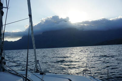 Hiva Oa, French Polynesia Hiva Oa, French Polynesia
Its mid-morning when we start to see land. The island of Hiva Oa is quite high and we are about 33nm out. The wind has been backing off and we are doing 3.8kts of boatspeed, and the expected arrival time is getting later and later. We decide to put the engines on for the last 33nm so we can arrive in daylight. As we get close to the anchorage we can see a large yacht moored outside the bay, where it is a bit rolly. Turns out to be our friends on VooDoo a 70’ Hylas which is just too big for the tight anchorage. We wait for Aranui V (well known, cargo / cruise ship) to come out before heading in. The anchorage in Atuona Bay is pretty tight but we find a space in the middle. A few boats around the fringes have set stern anchors set. We find SV Glam here as well which is lovely (especially as we can get onto their internet!) Voodoo drop by in the RIB to say hi, everyone is heading to another nearby anchorage tomorrow as we can’t check in until Tuesday, because it is Easter Saturday in this Catholic country. We send off a few emails and hit the hay fairly early. It’s nice to move back into our own side of the hull.
The 3,020 nm from Santa Cruz, Isabella took us 18.5 days (factoring I the time changes) and we averaged 6.7kts boat-speed. We have zero fresh fruit left and vegetable wise, half a cabbage and a potato, but plenty of meat, lentils and cans! The Parasailor was our only casualty and we can get that fixed in Hiva Oa. All in all it was a very easy and satisfying journey and importantly we are still speaking to each other! To read our daily log, check out our journey on noforeignland via the link below:
Santa Cruz is the final island we visit on our tour of the Galapagos. It’s the most developed island, quite a tourist hub offering tours to all of the other islands, and providing a pick up point for the small cruise ships that ply these waters. It is also the best place to provision for our upcoming Pacific Ocean crossing. Having seen all of the iconic Galapagos animals it feels like our visit is winding down as we shift focus to the next stage. Nevertheless Santa Cruz was well worth exploring as two important questions remain unanswered: 1. Do those marine iguanas really swim? (and if so what stroke do they do?) 2. Can Lynda fit inside a giant tortoise shell? Read on to find out.
Isabela to Santa Cruz
From the island of Isabela to Santa Cruz is 40nm heading NE. The forecast was for very little wind but filling in by the afternoon but as we were getting 8kts of breeze by 9ish in the anchorage we decide to up anchor and go for it. We had a pretty good sail for a while with the gennaker, but eventually lost the wind and motored the last 3 hours. Lost 2 lures along the way and caught nothing. We arrive into the anchorage to meet up with the crew of Miles Away, Mowzer and WildThing2, part of the Santa Marta crowd. Everyone is sympathetic about our fishing woes, our reputation is by now well known in these anchorages, its embarrassing, however it does mean we are regularly donated recently caught fish by those more proficient than us (and whose freezers are full!) In this case Mahe Mahe from The WildThings, who also offer to give us a much needed fishing lesson!
The town here in Santa Cruz is a much larger, more developed and substantial town than San Cristobal, lots more supermarkets, tourist shops and restaurants, not to mention paved streets. We walk up to the Darwin Research Centre, which hosts researchers studying the unique flora and fauna of the Galapagos. There is a small exhibition hall with a big whale skeleton and some tortoise shells we can look inside. It’s super hot and we are getting very sweaty – so we check out a couple of beaches along the path. The sand is lovely and soft and the black lava rocks are teeming with marine iguanas – so far none seem that interested in giving us a swimming demonstration though.
Tortuga Beach Yeah, nah - dont fancy a swim today Yeah, nah - dont fancy a swim today
One afternoon we walked across to Tortuga beach – a reasonably long walk on an undulating concrete path to a beautiful, long white beach with the softest sand. It is fringed with black lava rocks which hosts the now familiar marine iguanas. The strong waves and current make it challenging for swimming but we managed to cool off in the shallows. The marine iguanas have heeded the warning signs, and again none of them are up for a surf. It’s a super hot day and as much as we enjoy walking, it is really draining so we have to stop for an ice cream on the way back. There is no savouring it though, you have to eat it really quickly or it is running down your arm!
Into the woods A walk in the woods A walk in the woods
We joined Gill and John from Mehalah to take a taxi tour up into the hills. Our first stop was Los Gemelos (the twins) two really big craters side by side. These are not volcano craters but were formed by the collapse of lava tunnels beneath. The craters are deep and heavily forested, and we have a lovely walk around them and through the rainforest. This area is famous for its lava tunnels and we visit one that we can walk all the way through. The tunnel is well lit and about as wide and high as a subway station - there is one short, section where we need to get down on our hands and knees to crawl through and of course this is where the water collects so it gets a little muddy. The tunnel looks fairly stable although here and there we can see where a large chunk of rock has fallen some time ago (we hope). It is interesting to be in a cave with no limestone, no stalactites or stalagmites, it is all lava rock. Our final stop is the Rancho Primicias which is actually a cattle farm which provides a large, free range area for giant tortoises to roam about. They have a great display of a tortoise skeleton with shell as well as a shell that you can climb into. Yes! I can fit into a giant tortoise shell! I manage to do a couple of push ups with the shell on, which is pretty impressive as the shell weighs around 80kg, which is more than me! No wonder those tortoises are so slow getting around. We walk around the grounds with a guide and he points out some of the regular tortoise visitors. The animals are not fenced in and are free to come and go as they please, it’s not a breeding or rescue centre, just a safe place for them to roam. There are some pretty big tortoises here, and although we have seen them before they are still very impressive and special. It’s a much wetter environment for them than on San Cristobal and they seem to enjoy wallowing in the water and feasting on the lush vegetation. They come to the ranch to hook up with mates and breed, but then the females then head down to the lower and warmer ground to lay their eggs. The parents don’t take any care of the young so once the eggs so they are on their own.
Puerto Ayora (Academy Bay) Do the hip shake baby Do the hip shake baby
Academy Bay is the main anchorage in Santa Cruz. As with the other islands, taking your own dinghy ashore is not the done thing. Water taxis are the best way to get around, although getting bulky shopping back on board, and past the seal defences on your transom can be challenging when the afternoon swell kicks in. It’s a really bouncy anchorage but the water taxi drivers are very handy and fortunately we avoided any mishaps. The seals in the harbour have not really paid us much attention, having moved on to easier targets. WildThing2 is an Outremer with large sugar scoops who have used their SUPs to create a barrier, leaving a small area exposed – the seals seem to prefer this to ITIKI. The main public dock is a great place to hang out and watch the aquatic wildlife including turtles, small reef tip sharks and YES marine iguanas swimming around. We finally see our first swimming specimens in action. They are much more streamlined and gainly in the water than on land, using a funky, latin-inspired hip wiggle to give them momentum, they cruise around the bay very elegantly.
Fun times with families and friends
After a day of boat jobs in preparation for the next leg of our journey we joined some fellow cruisers for an evening of R&R ashore. There are 3 "kid boats" all anchored nearby and it was quite exciting getting aboard the water taxi with kids and scooters and explaining in our dodgy Spanish to taxi driver that they need to go to this boat, then that boat, then back again because someone forgot something and then finally unloading everyone and their gear at the other end. There is a street set back from the waterfront which is buzzing in the evenings and lined with great value restaurants serving local fare. They display today’s catch on ice and we chose one that can manage to organise a table for the 10 of us. We enjoy a lovely meal of local seafood, lots of talk, sharing plans, tips, tall tales and plenty of laughter – followed by ice cream on the way back and a little more fun getting tired kids (and emotional adults) and scooters back to our respective boats. Such a fun crowd to share great times with and we know we will meet again soon in another anchorage, in another country.
Playa Alamanya
Went ashore one Sunday morning to try to visit Las Grietas, which is an river canyon where you can swim and snorkel, similar to Los Tunnels on Isabela. Enjoyed a walk along a path to Playa Alamanya (German Beach) which is a mangrove lined beach, then walked on to the entrance of Las Grietas to find that the 10:30 tour was full and departed. Its very busy today being a Sunday and locals can go for free so we book in for the 11:30 tour, pay our money and go to the beach for a swim. The shores are lined with mangroves and the tide is coming in so the beach will soon disappear, but the iguanas seem to like it and we see several of them swimming around - pretty cool! Sadly the 11:30 tour to Las Grietas did not eventuate, Sunday is not a good day to do it as it’s so busy. Clearly it wasn’t meant to be. We caught up with some fellow cruisers on their return from a tour to Isabela, where they had hiked the volcano. Had a drink and said our farewells and continued onto have a lovely dinner at the Midori Sushi Pub, Japanese food with fresh local tuna.
A little bit of diesel
As we are about to head across the longest single stretch of our journey, 3000nm to French Polynesia, we want to make sure we have full fuel tanks. Getting diesel in the Galapagos is a bit of a saga and can be quite expensive. Of course the supply is strictly controlled as it has to come a long way from mainland Ecuador. We refuelled on arrival, organising it through our agent to be delivered to the boat, but the cost was double the price at the pump! We also had to deal with unwieldy 15 gallon drums. Having realised we already paid for a “fuel permit” we pushed our agent to provide this for us, so we could go directly to the pump and fill our own Gerry cans at the pump price. If only it were that simple… Having been given the run around and drip fed information about the process, we eventually managed to piece together the puzzle. The permit will only be issued by the agent within 24 hours of departure, once we have booked our exit inspection, so we have to wait until we are sure we are leaving, confirming weather etc. On the appointed day/time, we head to our agent’s office with our empty Gerry cans, drop off our passports and we are escorted to the fuel station by our agent’s offsider in a taxi to the gas station. Our permit papers are scrutinised and stamped in triplicate. They refill our 5 x 5 gallon jerry cans, managing to fit 29 gallons in… They only take cash so I whip out the $50 notes I brought for the occasion, only to be told they don’t accept $50s or $100s! We managed to scrape together the $99 we needed from smaller notes and coins before dropping the agent back to his office and being off loaded at the cargo dock with our loot. Getting the Gerrys cans back to the boat was fun as there was quite a swell running. Keith jumped onto ITIKI while I handed them up to him. I think we surprised ourselves that we managed to get them all back on board without mishap! We are now officially read to leave the Galapagos and head to to Hiva Oa, French Polynesia, 3020nm away.
Oh but wait!
The morning of our departure we were up early and trying to remember everything needed to do for final preparations. Well we cant just up anchor and sail off into the sunset. We need to have an exit inspection. The official Inspectors, along with our agent rep, arrived just after 9 and filled in more paperwork, walked around the boat in their hobnail boots and took pictures. I guess that they need to make sure we are not souveniring a tortoise or two! A few more final preparations, removal of our Galapagos garbage signs, some mindful breathing exercises and it was time to depart on our longest single passage since launching ITIKI. Lifted anchor about 11:30, John and Gill from Mehalah waved us off and that was it, we are on our way. Spoiler alert, we made it to French Polynesia – a full report of our passage is coming soon!
Iguanas to the left of me, Boobies to the right...Wreck Bay, San Cristobal to Puerto Vilamil, Isabela
From Wreck Bay in San Cristobal island we sailed the 83nm to our next stop, the western most and largest island of Isabela. This made for a very long day trip, by-passing Santa Cruz. We will back track to Santa Cruz to do our provisioning and check out (which can’t be done on Isabela). Lifted the anchor just before 6am to discover that our anchor chain counter had stopped working. Seems that our quick-fix, cheap and nasty magnet has rusted away and destroyed the sensor. We have a work around though, which is a piece of electrical tape on the windlass. I have to count the number of turns, each of which is 40cm… I am hoping the next anchorages are not too deep, as I imagine becoming hypnotized, very dizzy or something weird like that.
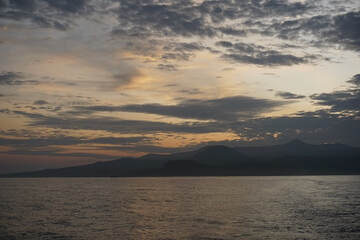 Late arrival at Isabela Late arrival at Isabela
We had enough breeze to put the main up and unfurl the gennaker and we were able to sail a lot of the way. As the breeze shifted onto the nose we unfurled the genoa and could come up a bit. Eventually though it was too high and we had to stick the motors on and push into it. As night fell and I came on watch about 7pm it started raining. We had squalls on and off for the rest of the evening and it was quite cool. The bimini has started leaking and so I put some plastic sheet under the frame. We have a hard top bimini on our wish list for when we return. There is a reasonable amount of light despite the cloud, as it is a full moon. I started to see the outline of the a few of the smaller islands and rocks in the gloom and then some lights from the shore around 10ish. We ended up anchoring at Puerto Vilamil, which is on the south east coast of the J-shaped island of Isabela, at about 11:40pm. There are 4 other yachts here, all monos and we set to the west of them, a little bit exposed to the swell. It’s quite shallow at 3m and of course tidal.
Even though we have only come 80 odd nm to another island in the same group, in the same country, we have to do a formal, local check-in process. Manuel our agent, came over at 8:30am the next morning with the Port Captain for our local check in. It’s much easier than the initial check in, just filled in a few self-reported details in a ledger which the skipper signed and stamped. Wind has gotten up significantly and we are getting 21Kts from 230 degrees. It’s very bouncy in the anchorage and we decide rest up and get settled in before going ashore. After the onslaught of seal invaders at San Cristobal we still have our defences in place, but there are not as many seals here. We just had one come by and have a little sleep on our transom for a bit.
Downtown Puerto Vilamil Flat shelled mountain tortoise Flat shelled mountain tortoise
Isabela is the largest island in the Galapagos group, famous for its many volcanos. We are told the most recent eruption was only a couple of weeks ago! Ahh ok. The small population lives mainly around the town and few of the roads are paved. The hinterland is thick with vegetation and barely habitable.
Unlike San Cristobal, you can actually take your dinghy ashore and there is a dinghy dock, although it’s not much chop. We hit a couple of rocks on the way and taking a chunk out of the prop on the way in, as we didn’t keep a wide enough berth as advised. The dinghy dock is on a floating pontoon that the commercial boats and water taxis use for pick up and drop of. We only take the dinghy ashore once, next time its water taxis! Ashore we can see a few seals on the pier, but not as many as San Cristobal. The town is pretty basic but there are quite a few cafes and hostels as well as souvenir shops and tour booking offices. There is a church with some lovely painted scences with saints watching over the native fauna. We walk up to the obligatory tortoise sanctuary, completely missing the path through the wetlands and walking along the road instead. It’s a small sanctuary and we are obliged to take a guided tour at $10, but we learn a few new interesting facts. They feed the tortoises 3 times per week on a plant called Elephant Ear, which is close enough to cactus that they would normally eat. Luckily this is a feeding day so they are a more active than usual. There are tortoises of varying ages as well as some mature ones from the mountains of Isabela. The mountain tortoises were rescued when there was an eruption, and a couple of them bear the scars from burning lava that must have hit them during the eruption. Their shells are much flatter than the other lowland tortoises and they their necks are shorter, as they feed mainly on the lower, mountain vegetation. The mountain area of Isabela is quite rugged and inhospitable so finding the tortoises after the eruption was challenging, then they had to be sedated for the trip by helicopter to a waiting boat and finally by road to the sanctuary. They will eventually be released back to the same place, a costly and onerous undertaking! Further up the road there is a small lagoon where there are some flamingos, well four to be exact, and they dutifully posed for photos. Back in town we have lunch at Cesar’s which was really good value, 3 course menu dias for $8. Los Tunels
The highlight of our time in Isabela was a small boat tour of the site called Los Tuneles, which is west of our anchorage along the southern coastline of Isabela. There are quite a number of small boat tours departing around the same time to different destinations and the port police are making a big show of regulation, checking everyone has a life jacket on, taking pictures etc. It’s a small power boat, maximum 10 people, but with big, outboard engines and we have the company owner on board, as well as a guide and skipper. There is quite a swell running from the west, so we are bouncing into it. Our first “stop” is Union Rock which is a large vertical volcanic rock sticking out of nowhere. There used to be more of these rocks but as water level rises, and they erode away, they disappear. There are some black footed or Nazcar Boobies here and one, lone blue-footed one. We learn that the foot colour is due to their diet. Red-footed boobies have a diet of squid, blue foots eat Sardines and black foot eat pelagic fish. The populations don’t compete with each other for food. Our skipper slows down as he spots an enormous Manta Ray, it must have been the size of the boat! We watch it swimming around for a while before continuing on. We arrive at Los Tunels and it is like another world – we enter a natural lagoon which is very protected from the swell. There are lots of low, black lava rocks in the water and some of them form tunnels and archways. There are some tall, skinny cacti on some of them. We motor around them, its like an aquatic, lunar landscape, with a bit of desert-like vegetation, before tying the boat up to a rock and walking ashore.
 You put your left foot in... You put your left foot in...
Los Tunels was formed during the last ice age when the water level was much lower. Isabela is a highly volcanic island with several volcanos, a couple of which are still active. The lava flows dried on the outside due to the cold, and underneath the lava kept flowing out, eventually leaving hollow tubes as it ran out. When the sea level rose the water could come in, creating this unique habitat. I was really excited to see the small colonies of the Blue-Footed Boobie and it is mating time so they are doing the boobie dance. Its amazing to see it. The male lifts his feet, marching up and down on the spot and also raises his tail in a polite but evocative curtsey. The male and female clash beaks and sometimes he will pick up a small stone and offer it as a gift or just move it around. He has to work pretty hard, dancing at least twice a day for up to 1 hour at a time. He also has to build a nest, so even though he might win over a mate with his fancy footwork, once she gets to the nest she may be disappointed and give him the flick!
We can see that some of the birds have brighter blue feet, apparently this means they are getting more sardines, and are better at fishing. Males with bluer feet are more attractive to the females. We also go snorkeling here with our guide, which is weird because the water is not that clear and not all that warm either, even though I hired a wetsuit this time. Still there is a lot of sealife, including large turtles who are oblivious to us. We also see small white-tip reef sharks sleeping in the mangroves and caves, and a few rays cruising around as well. Our guide finds a small seahorse, sleeping attached to something on the bottom. It’s a pain snorkeling with such a large group as everyone is flapping around, scaring off the fish and one guy with a life-ring keeps banging into everyone. The guide takes a lot of photos which is good as my GoPro wasn’t charged and I missed a lot of stuff being at the back of the pushy group. We have a bite to eat on board as we head back to town, and the trip back is a lot quicker with the wind and swell behind us. The Wall of Tears / Muro de Las Lagrimas
We hired push bikes for the day and rode a well maintained coastal trail up to the Wall of Tears, stopping to look at some wetlands along the way. Passed one giant tortoise crossing the road, why?! Ask the chicken! The Wall of Tears was constructed by prisoners as a bit of a pointless, hard labour exercise. It’s quite a substantial dry stone wall but it serves no function whatsoever and is just in the middle of nowhere. Needless to say many suffered and died in the process, and that may have been the objective. Its wickedly hot here now and in the full sun, breaking rocks would have been brutal. Although the ride was fairly flat there were a few sections we had to pedal hard to get up and over, and let’s just say our butts are not really cycle-fit! We made a few stops on the way back checking some beaches, white sand contrasts with the with the black lava rocks that the marine iguanas frequent. We see a couple of them fighting in the sand (or maybe they were courting – where is David Attenborough when you need him?!) We are yet to see them actually swimming so Keith tries to encourage one into the water, unsuccessfully. Well that wildlife experience will have to wait until we get to our next and final stop at the island of Santa Cruz.
|
AuthorAfter more than 5 years of (minus time off for Covid) and more than 27,000nm Lynda has finally got the hang of this cruising life Archives
June 2024
Categories |
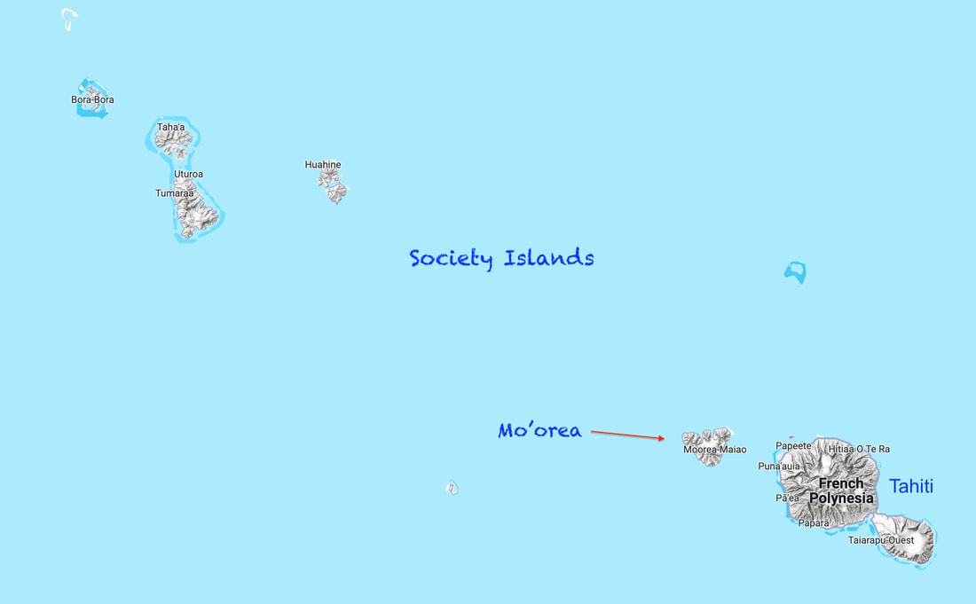
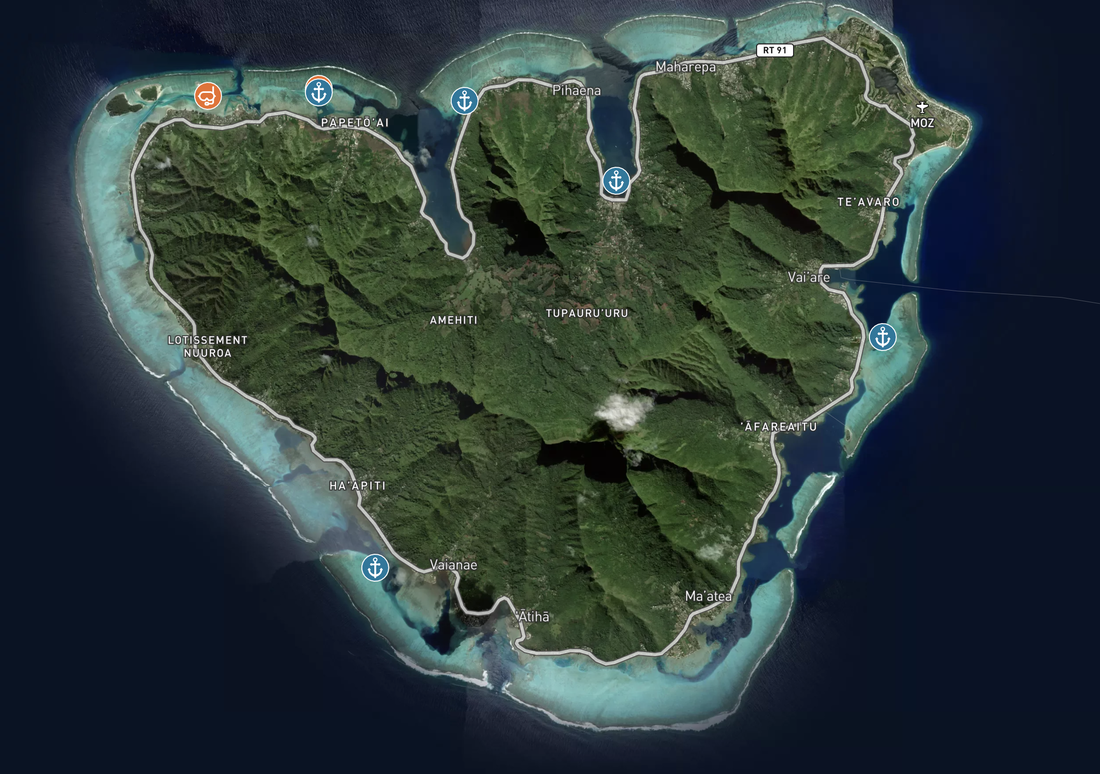
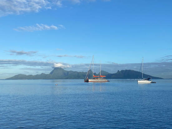
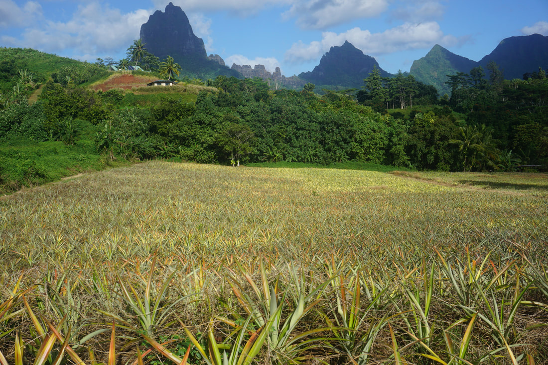
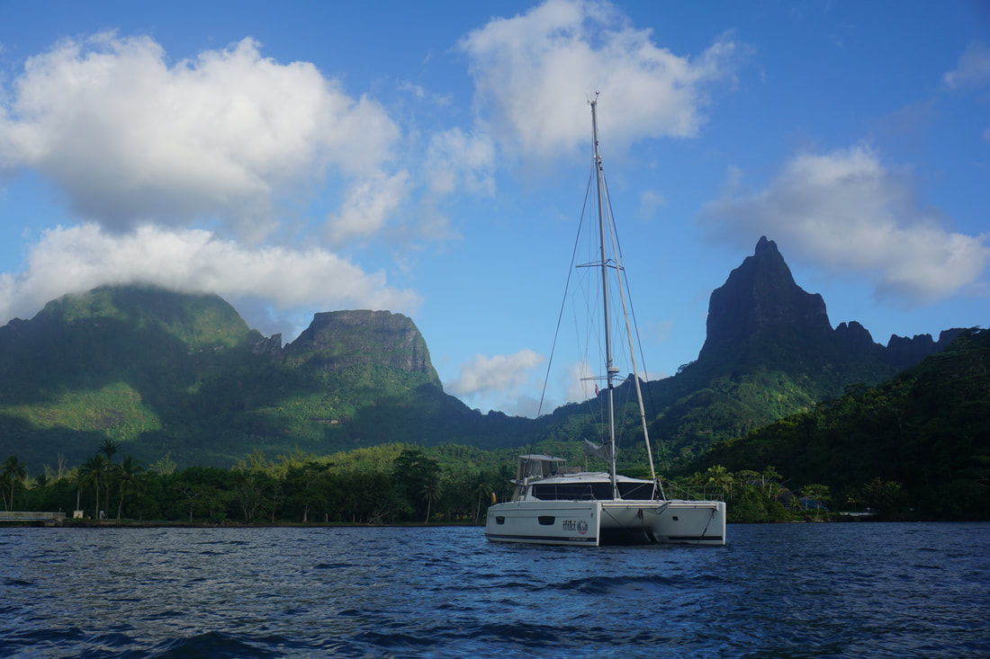
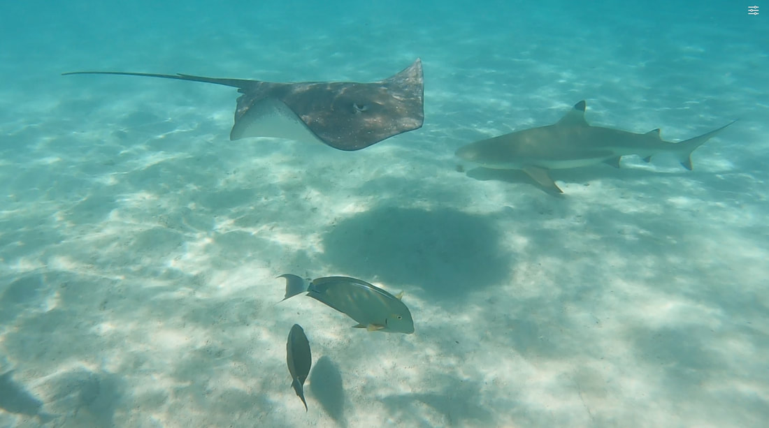
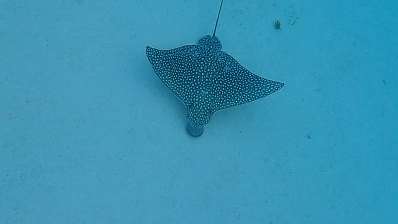
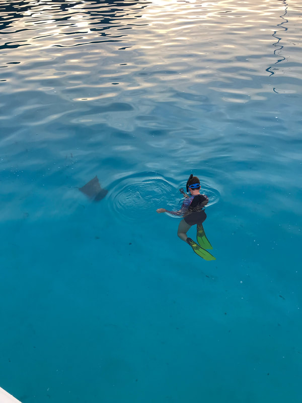

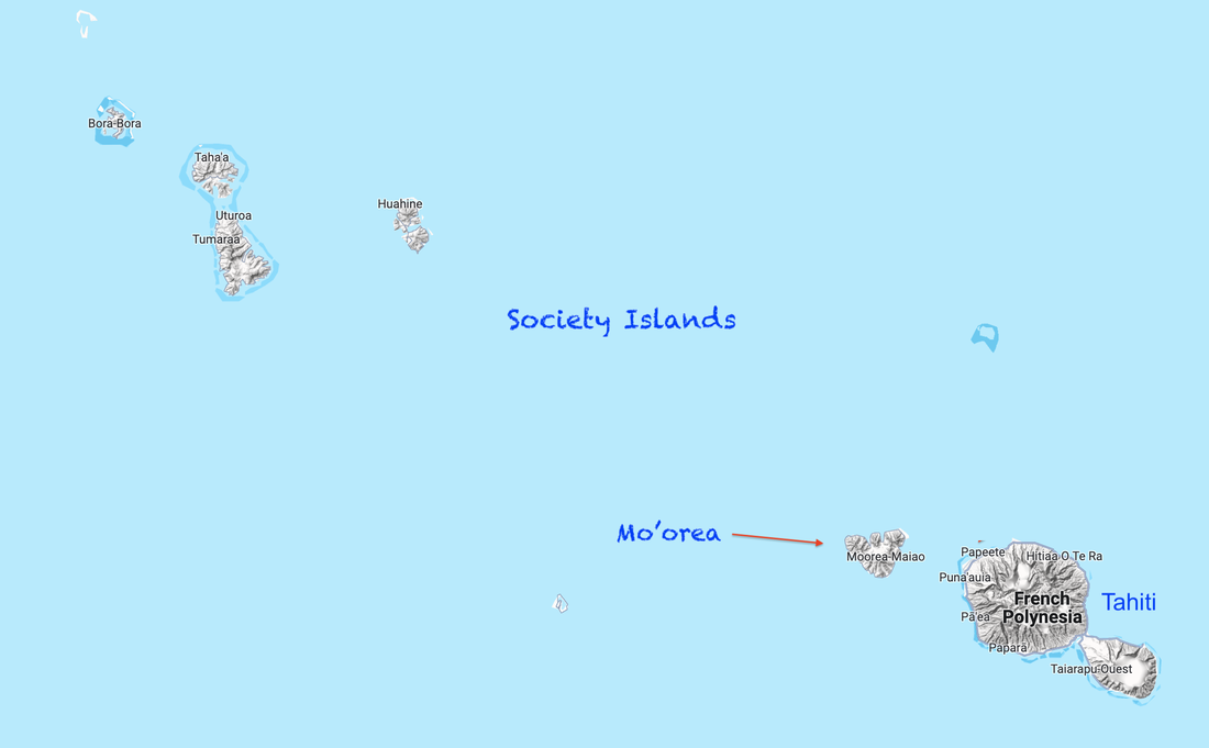
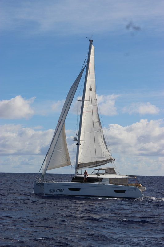
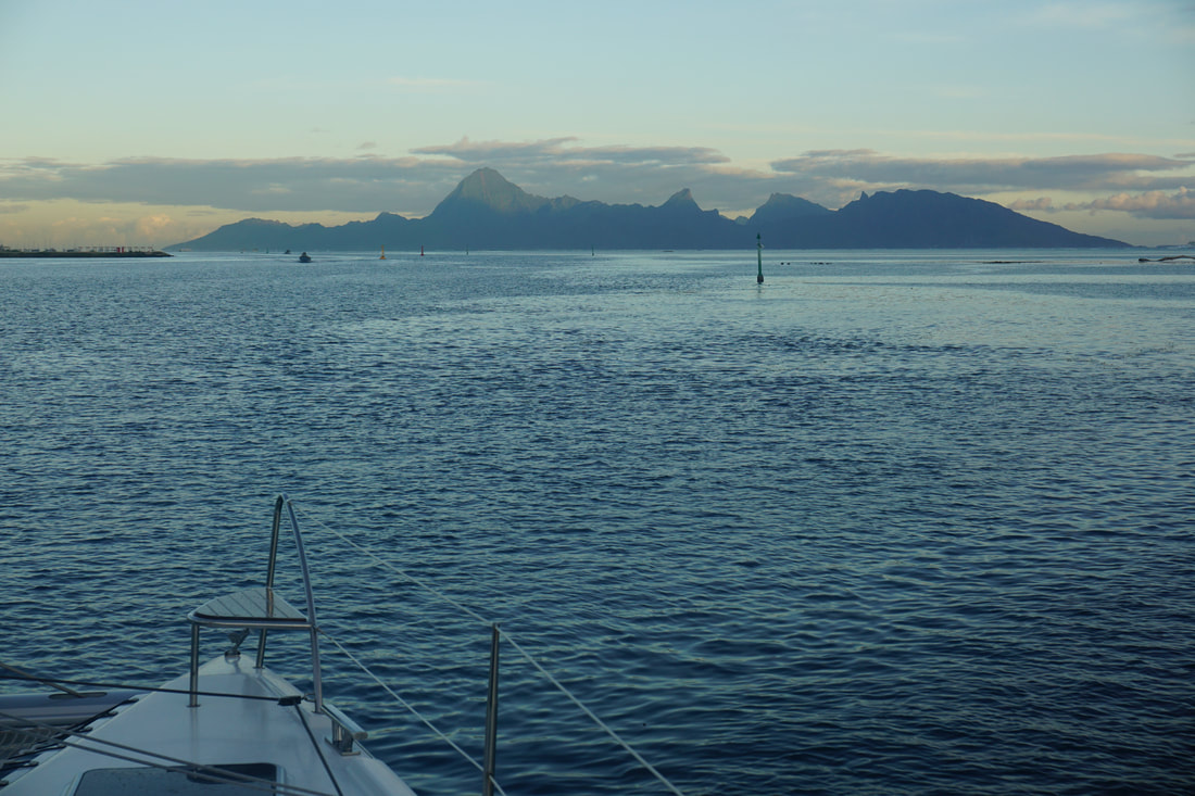
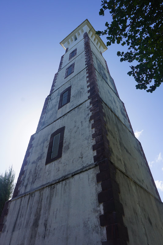
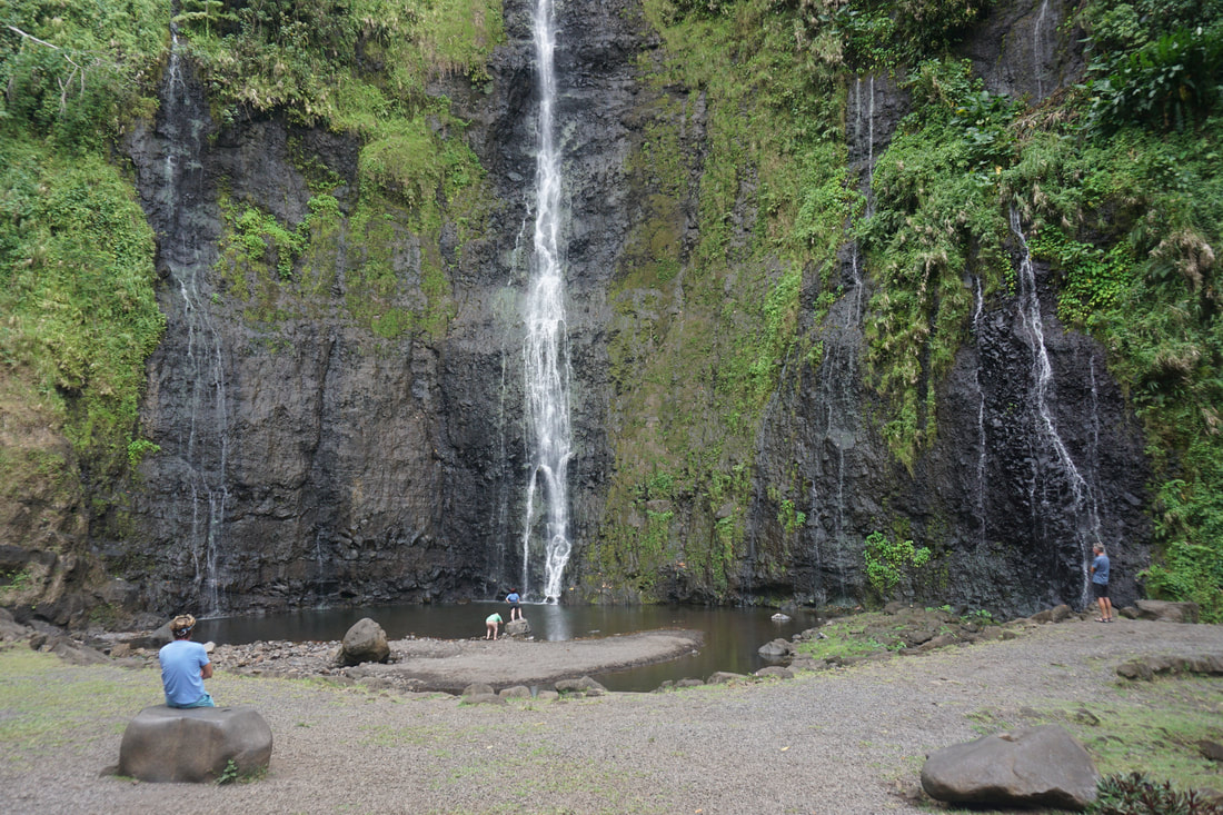
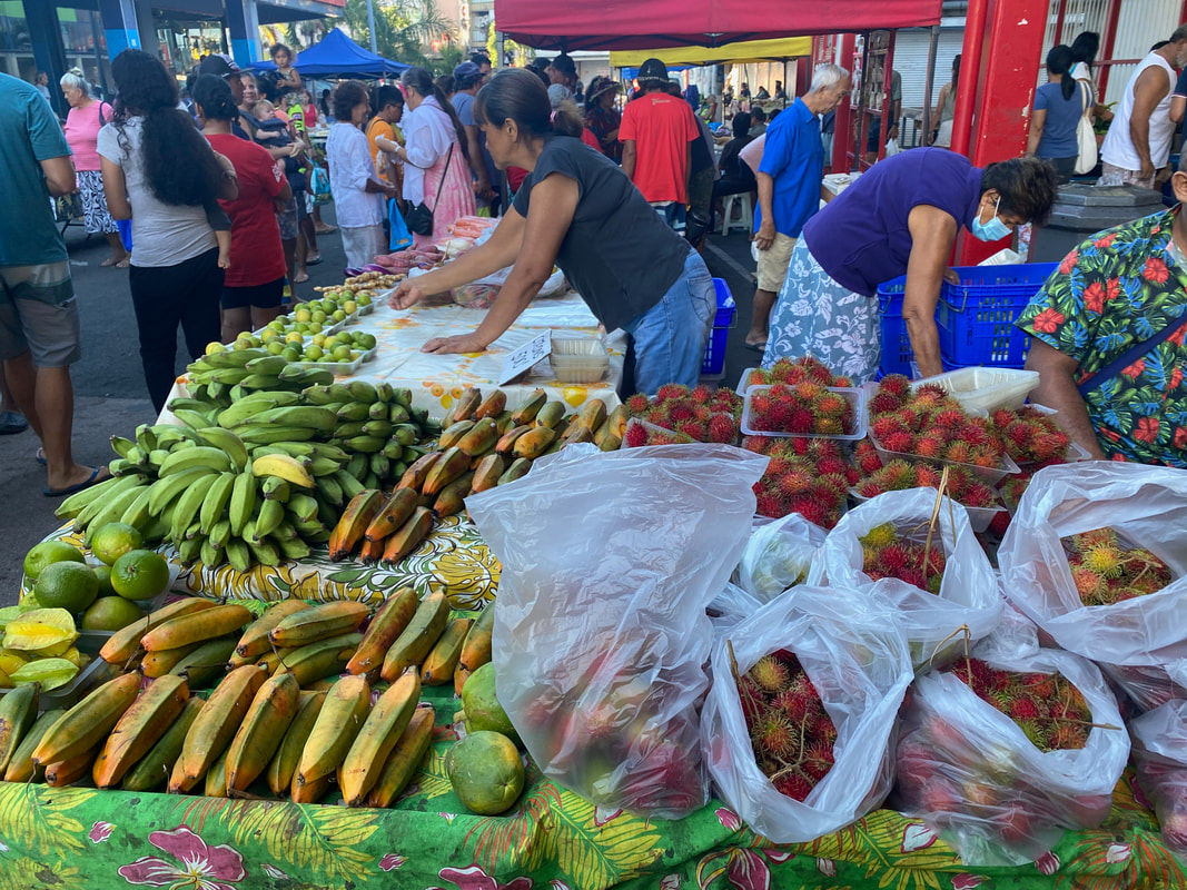
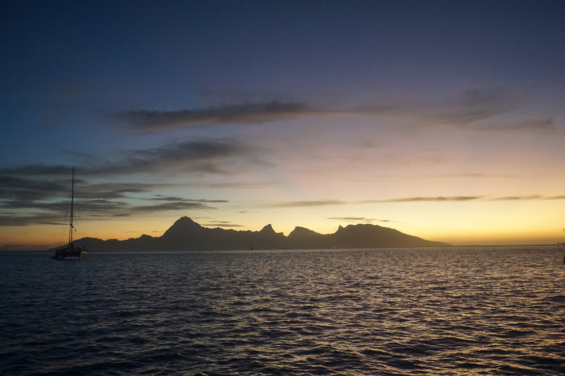
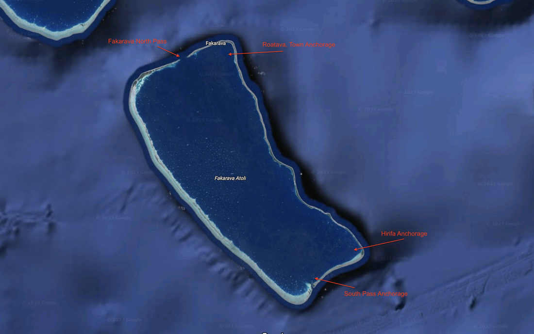
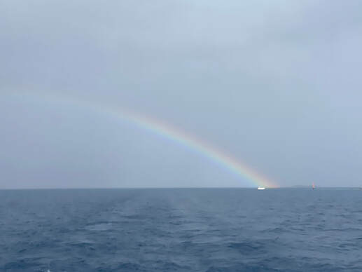
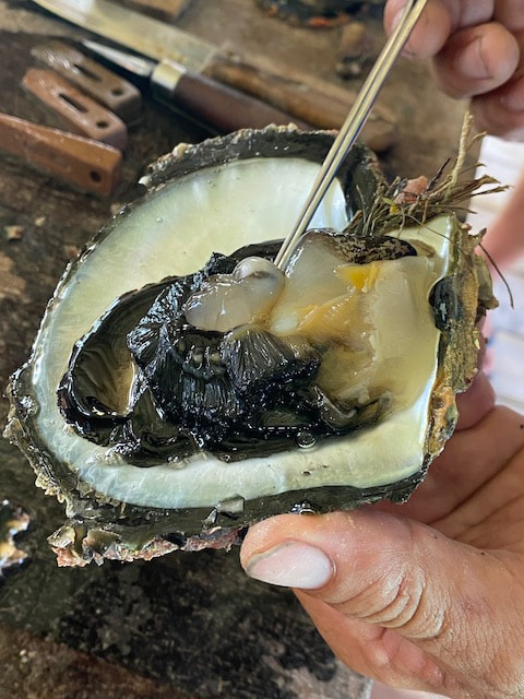
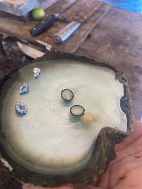
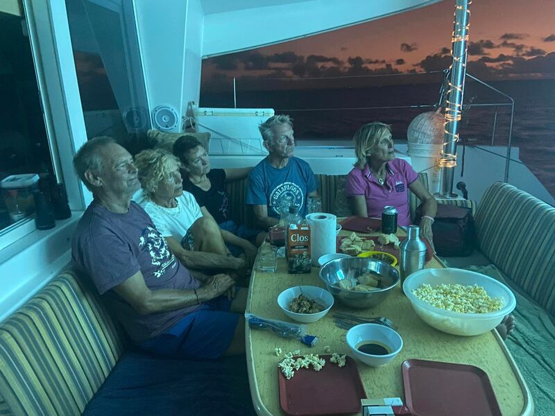
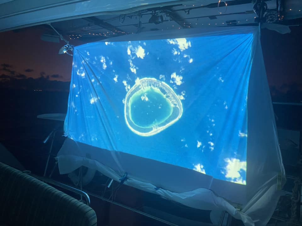
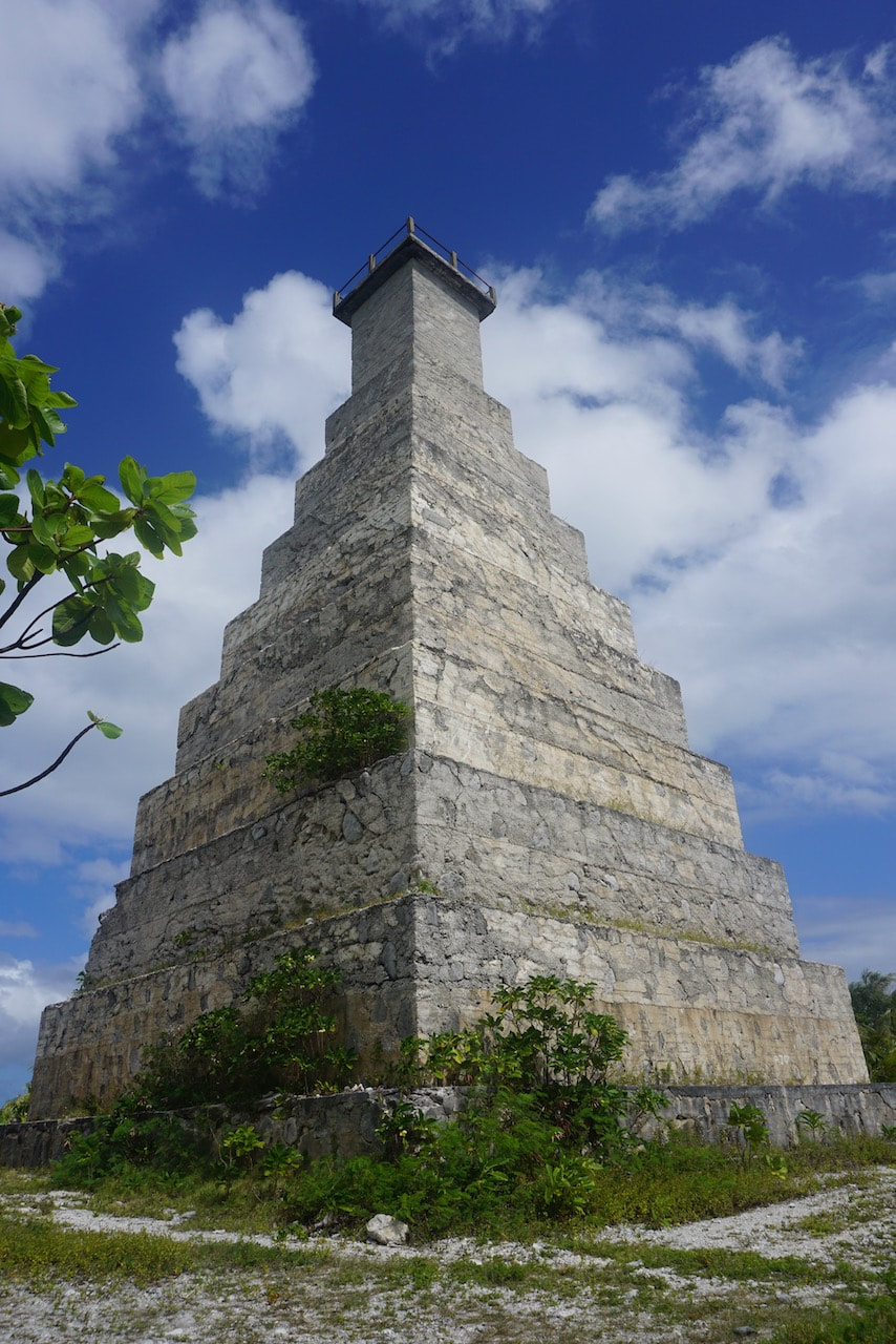
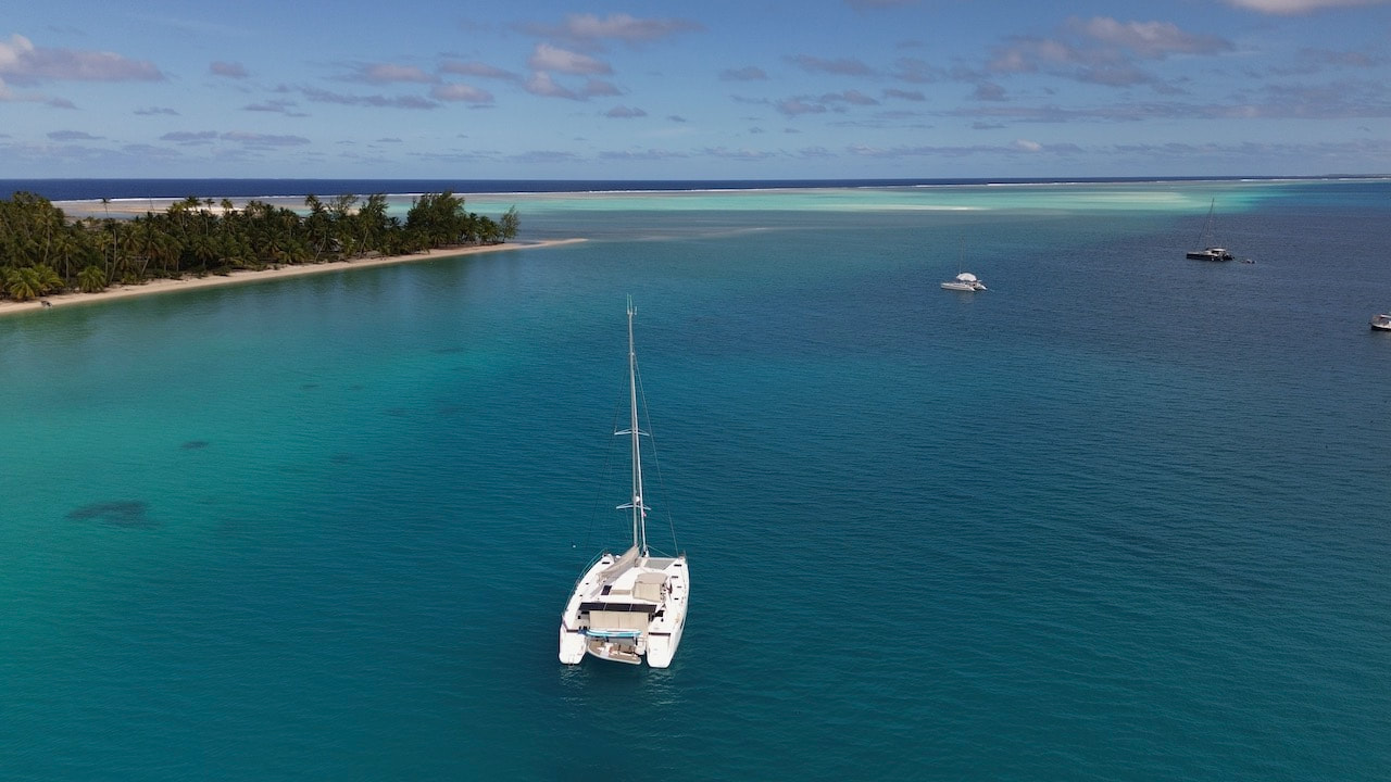
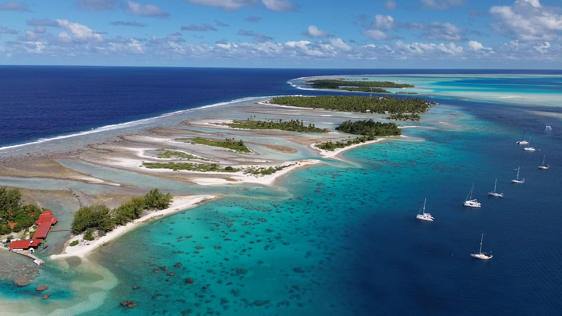
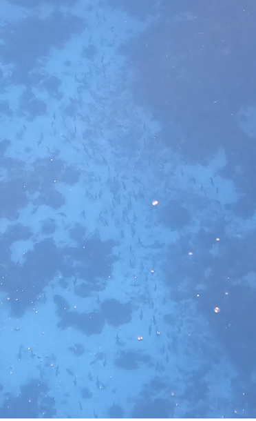
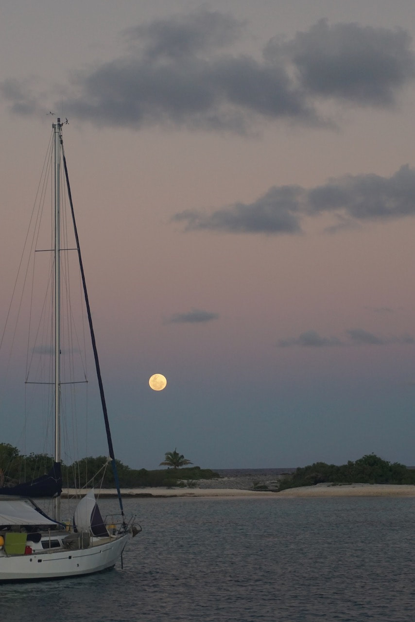
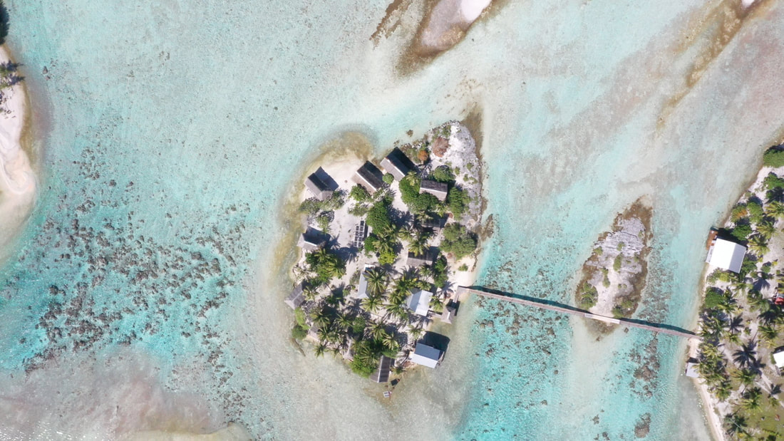
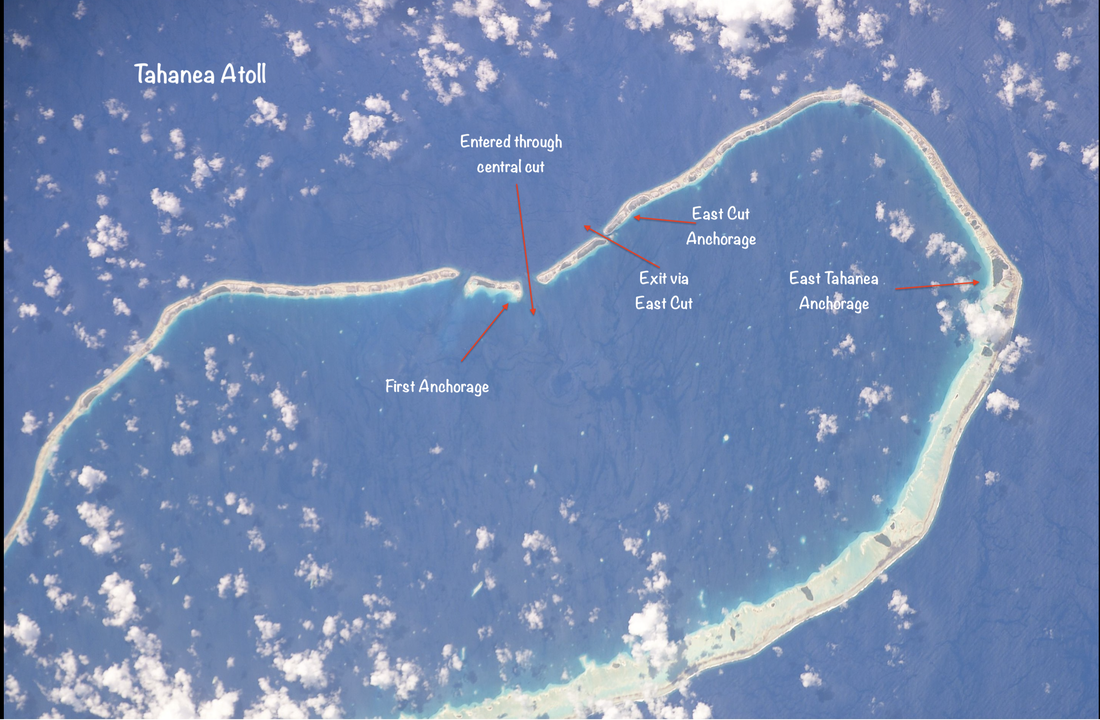
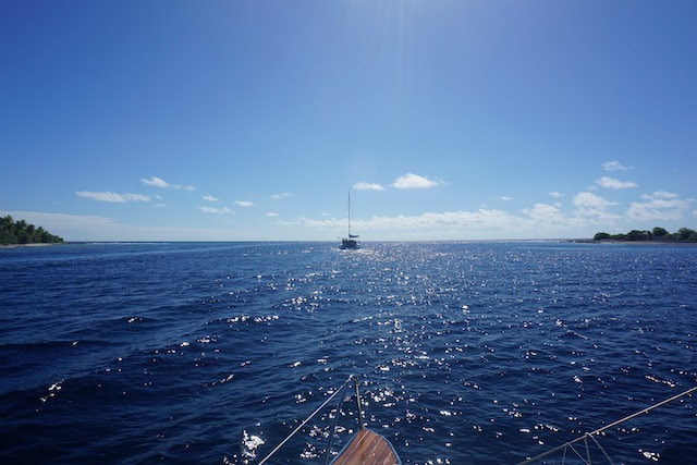
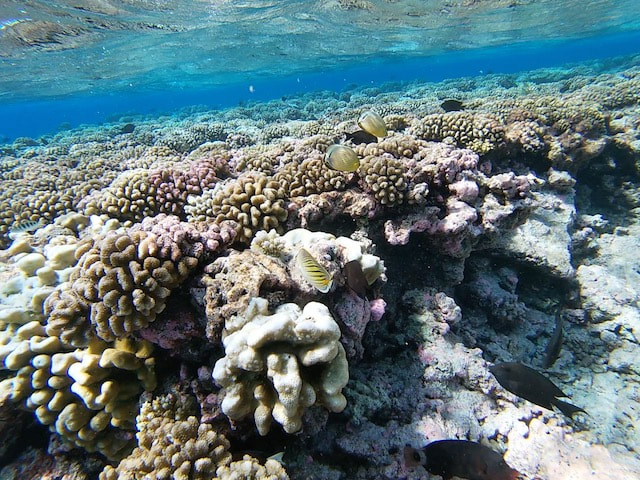
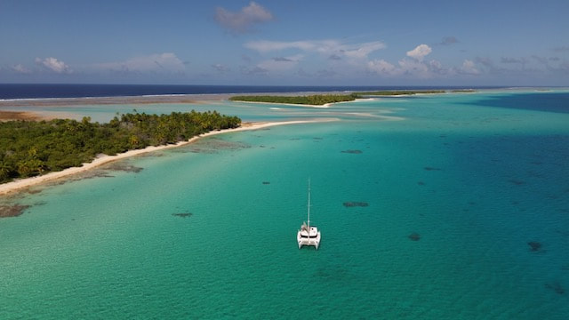
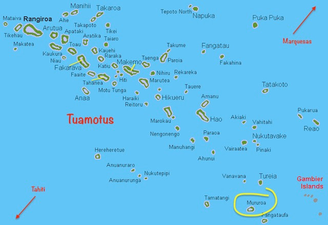
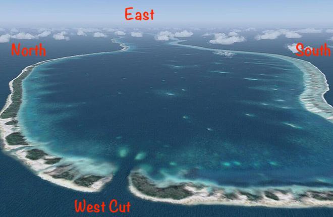
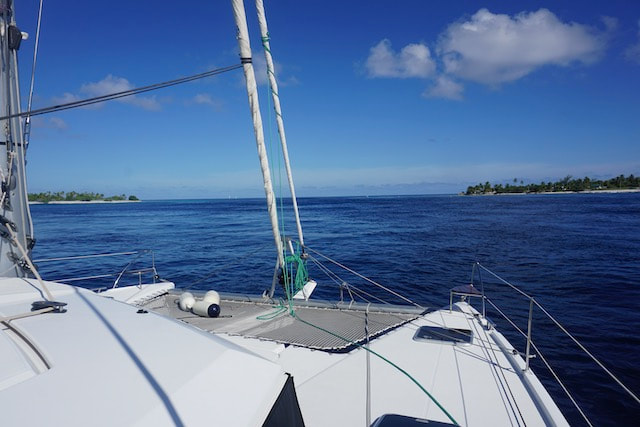
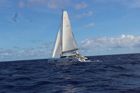
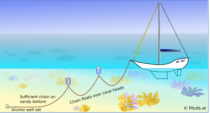
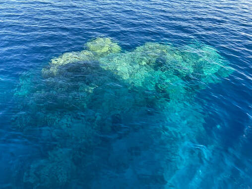
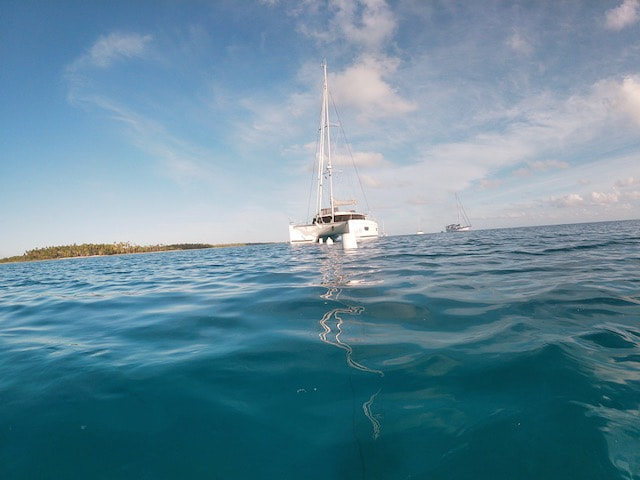
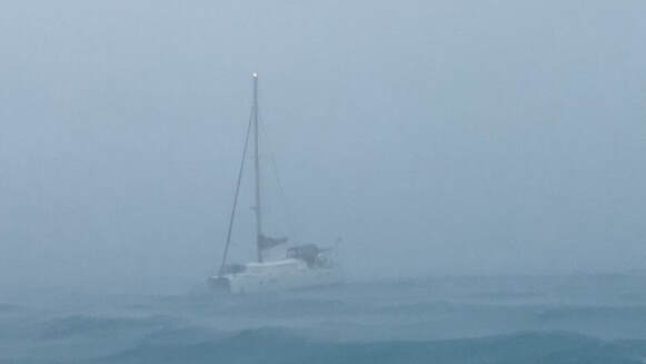
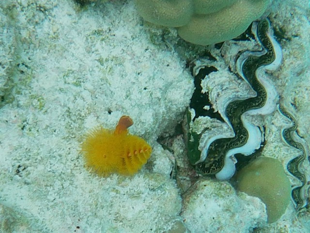
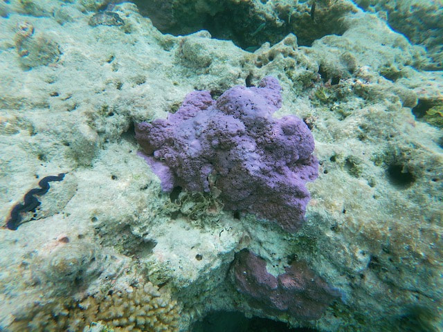
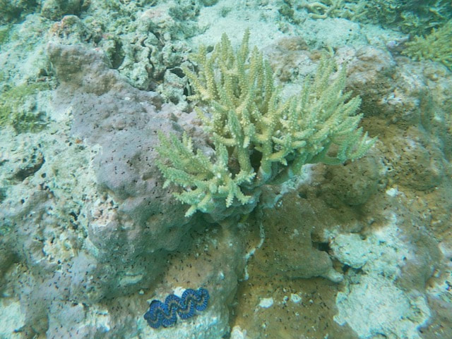
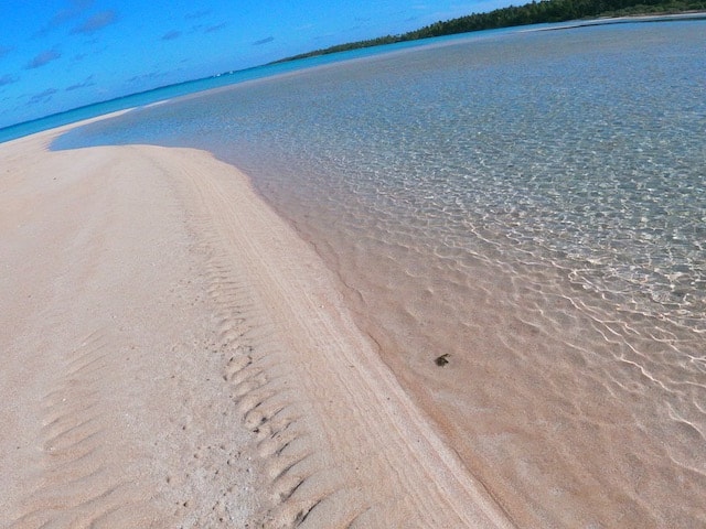
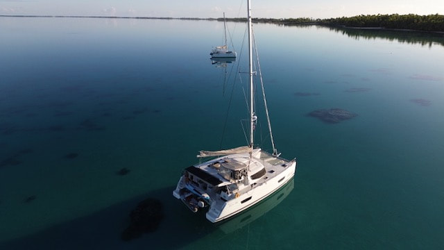
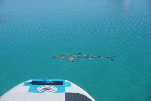
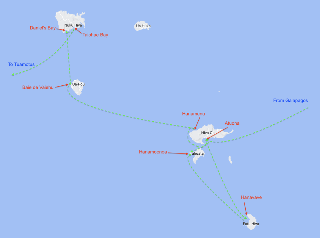
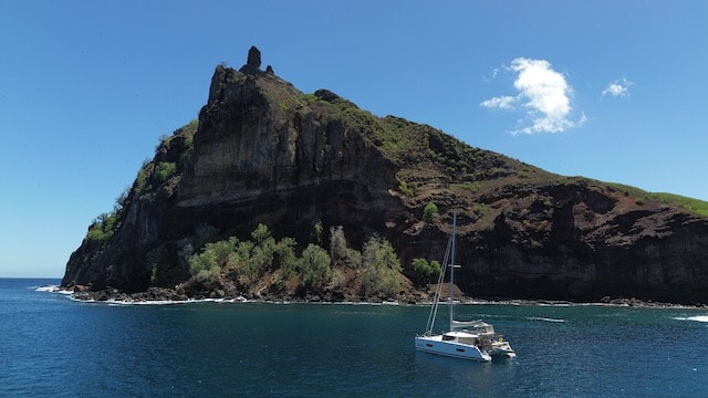
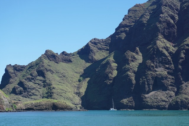
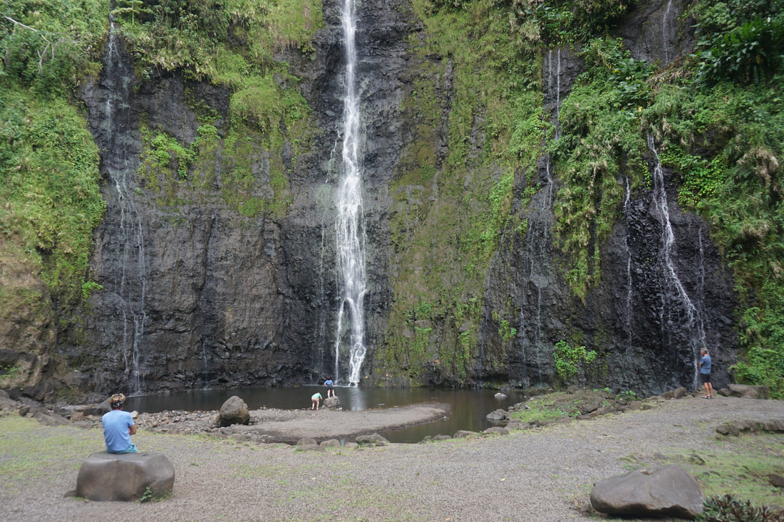
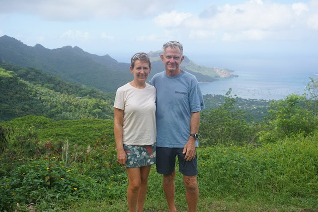
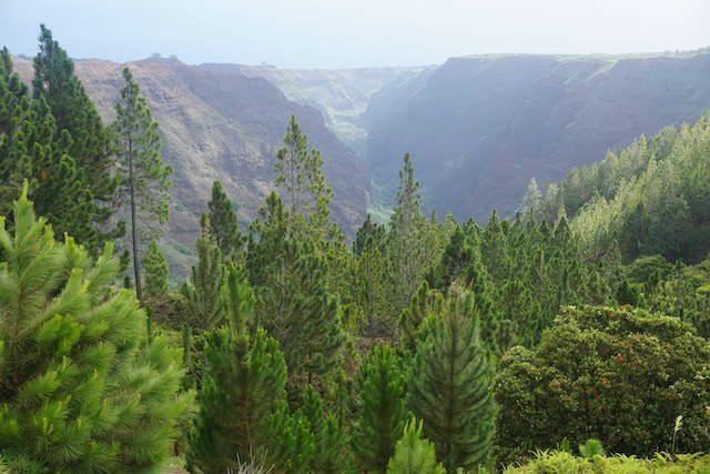
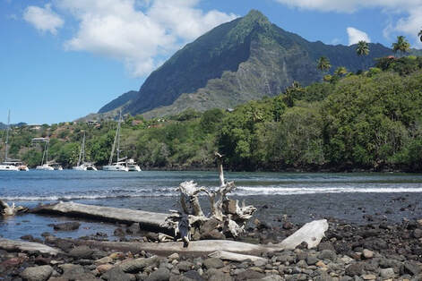
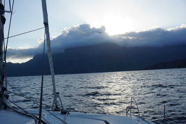
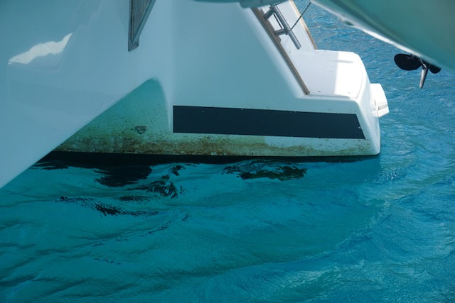
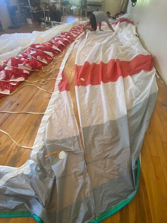
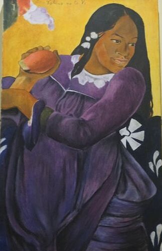
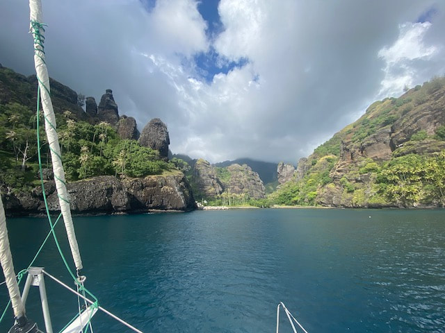
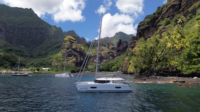
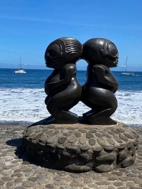
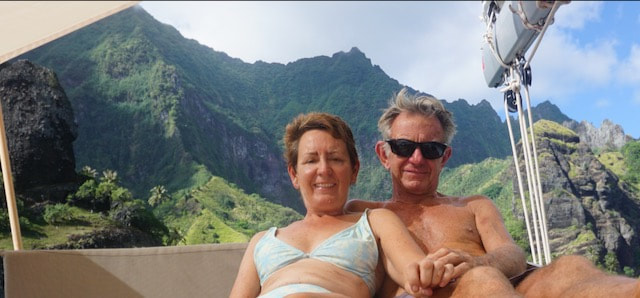
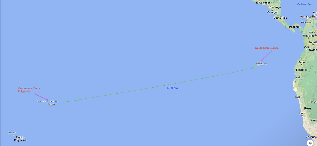
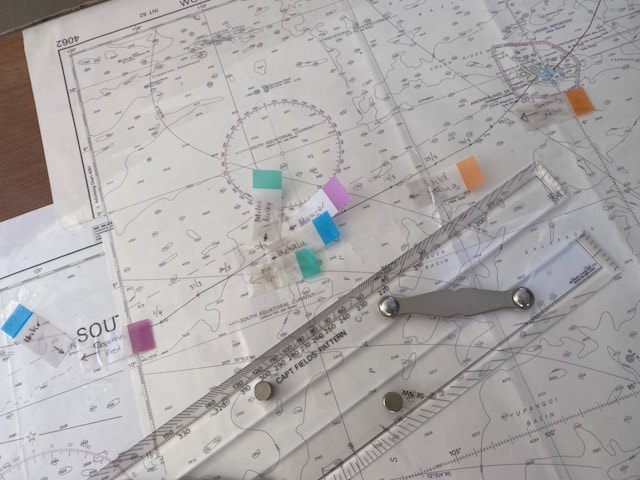
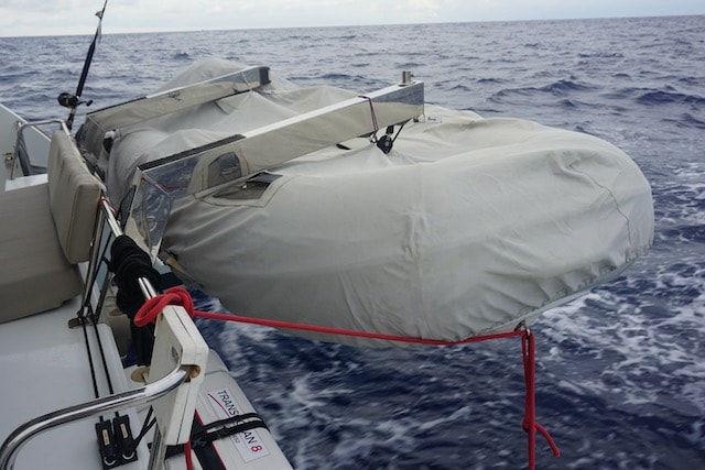
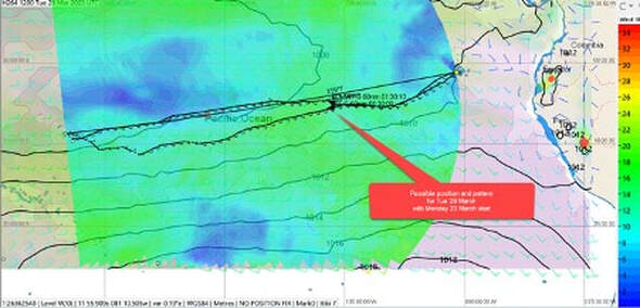
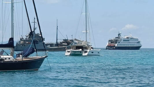
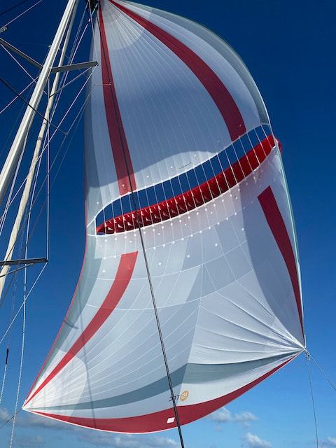
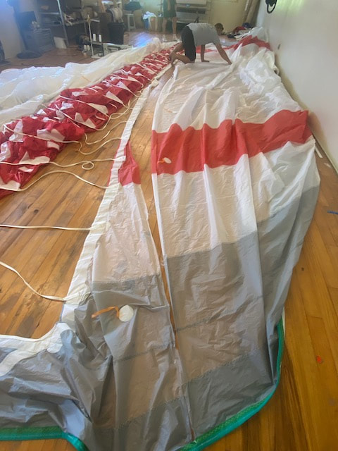
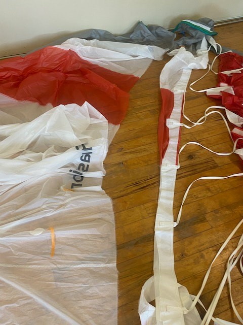
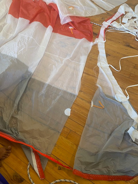
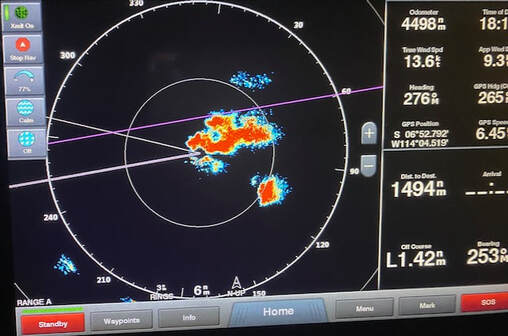
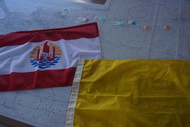
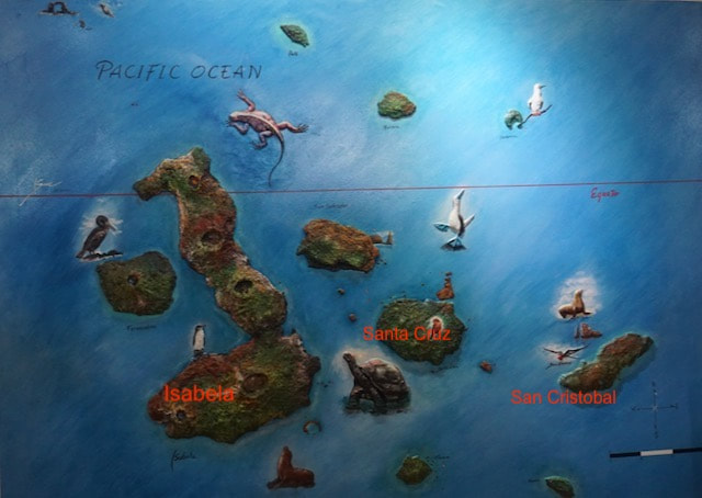
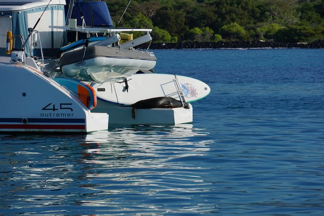
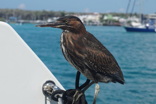
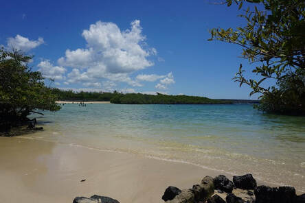
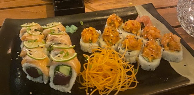
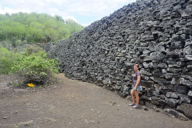
 RSS Feed
