|
When Keith first laid eyes on SV Bisous, a Helia owned by Tad and Robyn Foley, it was love at first sight. No it wasn’t Tad’s charming smile, or Robyn's warm welcome, but the hard-top cover over their bimini that got Keith going. You see Tad had built his own hard-top bimini, using the factory frame, and it is a thing of beauty. Tad had done a fantastic job using Coosa board and fibreglass, installed a solar panel and opening Perspex hatch. Seriously, what is not to like, particularly when your factory Sunbrella has worn so thin it leaks like a sieve every time it rains! Keith took lots of photos and set about planning and measuring and dreaming of how we might one day replicate this work of art. From Panama it was a long journey back to Australia, and even when we got back “home” we realised we still had no home base, no marina, no workshop, nowhere near enough tools etc to get the job done. Nevertheless the planning continued. We even got an eye-watering quote to have one custom made in Tasmania - a fabric replacement would have to do. Then one day, fortune shined on us and the dream could become a reality. We had made our way down to Port Huon, looking for options for a winter berth for ITIKI, when our good friend, Bruce Finlay, who lived locally dropped in to say hi and asked us if we would mind doing house & dog sitting for 3 weeks while they went on holidays! Oh and by the way, you can use the “shed”, aka fully equipped and heated workshop, to build your bimini! YES! Grand Designs One of many design sketches One of many design sketches Although we had Bisous’ hard top design as a starting point, we still had to nut out the details. Keith had spent hours honing the design, measuring, checking, scratching his head, drawing, cogitating, planning and thinking through every layer, every step, every stage, every detail and anticipating every potential problem he could imagine. In a nutshell, we would be using the existing factory-fitted bimini frame. Gurit Corecell sheets would form the main component of the hard top flat surfaces, with wooden trims inserted around the horizontal edges so that the vertical edges and the track for the clears had something solid to be screwed in to place. Then of course there would be fibreglass mat and resin over the whole arrangement to give it strength and shape. This would be followed by 2 part- filler and finally 2-part paint. We are using the existing frame and decided on some stainless steel brackets to fix the hard top to the frame. These would be screwed to wooden bases fitted to the underside of the bimini. The final solid component would be the perspex skylight which we had cut to size and would seal in once the bimini was in place. The concept was simple enough, now we just need to make it happen. Sourcing the materials
Let the fun beginSo with ITIKI anchored in Surges Bay, about half a nm from Bruce’s place we carefully manoeuvred the bimini frame into the dinghy and took it around to the small floating dock in front of his property. It was tricky carrying it up the steep embankment, through the gate and up to “the shed” but we took it slowly and managed without mishap. We masked up the frame and placed it on chocks so that the top part of the frame is roughly level. Work begins with placing the first layer of Gurit Corecell board on top of the frame, drilling it and fitting it to the frame with cable ties. The first layer is trimmed to size, including the skylight and access hatch for the cocktail deck. Then the second layer goes on, being fitted in similar fashion, with a layer of 2-part adhesive holding them together. Once the glue has cured, the cable ties can be removed as we had now locked in the shape. The rest of the work could be done with the hard top resting on a moveable workshop bench, rather than still on the wobbly bimini frame. Next the wooden trim is fitted around the cocktail deck access hatch before flipping the frame over, and adding the wooden edge trims to the underside of the hard top. The wooden edge trim is set in so that we have something solid to attach the vertical edge to. The other important component to go on at this stage are the wooden inserts which will hold stainless steel brackets for attaching the hard top to the bimini frame. Positioning these correctly is really critical, and it’s a case of “measure twice, cut once” when it comes to fitting these.
Filling and fairingOnce the fibreglass is in place the hard top has its shape and form and is now quite rigid. We can now start filling and fairing. Its challenging work, firstly making sure the mix is the right consistency – not enough powder and it’s really hard to fair (sand), too much and it is really difficult to mix and apply – need to find that “baby bear” sweet spot of “just right”, which takes a few goes. We enlist the help of a local tradie Jack, who loves sanding (yeah I know, right?!) and is very good at it. It’s a great learning experience watching someone professional going at it. Once the underside is done to our satisfaction (it doesn’t need to be super perfect) we can flip it over and start on the top side. Doing the underside first was a calculated move, as its ok to make a few mistakes given it is less likely to come under close scrutiny. It’s a slow process though as each coat needs to dry and cure overnight, before it can be sanded and ready for the next coat, so there is only so much you can do in a day. With each layer our work of art gets smoother finer and soon it is starting to look like a bought one - It is finally time to paint. Again it’s a very exacting 2-part mix which is difficult to get right. We learned a little late in the piece that our mixing bucket has lines on it to show the amounts to put in for different ratios for varying volumes – D’oh! The final hurdleWith a combination of rollers and brushes, and starting with the underside again, the paint layers start to go on, with a light sand between coats. Initially we were hoping that one coat would be enough for the underside at least (it wasn’t) and by this stage we are happy to admit we are completely over it. Our hosts have returned and we have moved back on to ITIKI so we come in by dinghy each day, do a coat and head back to the boat, leaving the paint to dry and cure. When we come to the final coat, it looks like the levels of hardener are on the low side and sadly we run out of paint mid-way! We decide to declare victory anyway – it actually looks pretty damned impressive – and we can always finish the final coat when we return after the winter break. The moment of truth As ITIKI was anchored in the next bay from our workshop venue we had to transport both the bimini frame and hard top back to ITIKI in the dinghy. What could possible go wrong??! The frame went back first and was fitted while the final coat of paint was drying on the hard top. Carrying the hard top down the steep and slippery embankment, which had suffered considerable erosion with our daily comings and goings, was a real challenge but somehow we managed. With the hard top laying across the RIB there wasn’t much room for us humans, but nothing worse happened than a little bit of salt spray during the short trip from the dock to ITIKI. We managed to nose the dinghy into the transom and I stepped off so we could lift the hard top on board and take it to the foredeck. We passed it over the front of the coach-house and placed it gently on the frame. The moment of truth as the brackets were deployed and it was screwed into position and voila! It looks fabulous!! You cant even notice the half coat of paint on the top… Now it just remains for our trimmer to fit the new clears around the helm station and we will be back in business. Meanwhile the skipper will need to stay rugged up in the open helm station as we head the 40nm back to Prince Of Wales Marina, where we fitted the Perspex skylight. Now that it’s in pace, it looks amazing - all that planning Keith had done, really paid off! The statistics Bella has seen it all before Bella has seen it all before All up our bimini hard top took us 102 person-hours of labour over 3 weeks, mostly from the skipper, but with guest appearances and timely advice from our host Bruce, local tradie Jack, the first mate and scrub nurse (ie me) and of course Bella the wonder dog, who has seen it all before. Having a huge and well-appointed workshop, with every tool known to man, made a huge difference and it would not have been possible without Bruce and Mon’s kind offer to house sit. I think we spent more time in the workshop than the house though! Epilogue: An expensive, surprise endingWe really enjoyed our time cruising around The Channel (the d’Entrecasteaux Channel), Bruny Island and the Huon River. It is a beautiful and peaceful part of the world, very sheltered waters but with easy access to some lovely bays and cruising grounds. In fact we liked it so much we bought a property just down the road from Bruce & Mon’s place! It’s a waterfront block with plenty of space out front for a mooring for ITIKI. Time to put down some roots and swap the dinghy for a ride on lawnmower! Room for a mooring - ITIKI's new home
3 Comments
Arriving in Sydney on ITIKI was very much a homecoming for us but Tasmania ITIKI’s spiritual home so we always wanted to take her south. After a couple of months in Sydney, catching up with friends, attending the inevitable Drs appointments, and replacing our rigging(!) we could finally head further “down-under”. Hopping down the coast
After motoring for a couple of hours the Nor’easter filled in and the parasailor went up. We had a fantastic run down to Jervis Bay, dropping the kite as we passed Point Perpendicular before turning right and tucking up into Target Beach. A couple of days of strong northerlies are forecast so here we stay. No going ashore though as the headland area is used by the defence forces as a practice range! Black Hawk Down!On our second night we were buzzed for about 15 mins by a helicopter circling the bay and scanning with a search light – that was a pretty weird experience! The winds shifted south so we crossed the bay to the beautiful beach anchorage at Vincentia. The weather wasn't great, very overcast but no rain. Had a couple of friends drop by for coffee and lunch and a beer or two and enjoyed a couple more nights here waiting for the southerly to pass.
Boyd Bay (Eden)Tackling Bass Strait Preparing the grab bag Preparing the grab bag My only sea level crossings of Bass Strait have been in The Spirit of Tasmania and her various predecessors. Otherwise I have preferred the 35,000ft option when turning right out of Sydney. In spite of our 30,000nm in ITIKI I was feeling a tad apprehensive about this stretch of water with its awesome reputation. Nevertheless we prepared as we would for any other passage looking for the weather window and adding the requisite “GST” to the wind and wave forecasts on PredictWind. Our route takes us 340nm from Eden to Freycinet Peninsula which takes us well east of the shallower waters and funnelling winds of Bass Strait. We planned to leave Eden on the back of a southerly, delaying our departure to the afternoon to give it more time to blow through. Of course its aftermath hung around longer than forecast and we ended up punching into a southerly swell under motor for the first 6 hours. We pass Gabo island around 7:30pm and log off with Marine Rescue Eden. The breeze eventually backs off but the chop remains, it swings to the east late in the evening, around midnight it finally builds enough to pull the gennaker out. Eventually the wind builds to be too much for the gennaker and the genoa comes out. The sea state is diabolical, like a washing machine. In the dark it is hard to know what direction the waves are coming from but there are definitely 2 swells there, one from the south is still with us. Mid-morning we have some squalls pass over us, lifting the wind speed a bit and dumping quite a bit of rain. When they eventually pass through the swell seems to have settled into a better pattern and we have pulled away as well, getting a better angle to it. From here on in the wind starts to ease so we slow down. At around 4pm the the autopilot failed completely – no warnings, no flashing lights, just not holding a course. We spoke to the marine electrician who helped us out as we left Sydney, did some trouble shooting but to no avail. This time it is no loose wire! We took turns hand steering through the night in the blackness, each of us steering for as long as we possibly could before exhaustion forced us off watch. With the swell pushing us hard from one side it was just so tiring to hold a decent course. The compass light has not been working for some time (another interesting story…) so we tucked an overhead light into the bimini. Fortunately we had enough wind to make good progress despite zig-zagging all over the place. We somehow made it through the night, it was good to see the first light of dawn at around 5am. Much easier to steer when you can see the horizon. We continued sailing for as long as we could sail faster than we could motor, but we were falling east of course. Sticking both motors on, and furling the headsail made it a bit easier to steer but it was still challenging in the swell and we both involuntarily gybed numerous times. Did a downwind drop of the main and gybed about 6 times during the manoeuvre without Ellie (the autopilot) to keep us on course. Welcome from the dolphinsA pod of dolphins, somehow sensing our exhaustion and stress, came out to greet us. No matter how bad a passage you have had, this always puts a smile on your face and makes everything alright again. It was such a relief to round the end of the Freycinet Peninsula, through Schouten passage and headed into Bryan’s Corner. What a beautiful anchorage – stunning white sand beach and water a colour we have not seen since Fiji. It immediately lifted our spirits. We could barely stand up so took some Voltaren and had a nap. Lunch was at 4pm and dinner (and more Voltaren) not long after. A momentous decisionWe spend a couple of nights in our anchorage here, walking along the beach and even taking a dip in the pristine, and slightly chilly waters. We were invited for coffee aboard another yacht and that turned into drinks aboard a power boat that arrived later. After chewing the fat and hearing all about the boating life in Tassie we pretty much decided to stay put here in Tasmania and get all our boat jobs sorted out in one place, rather than rushing north for the winter. There are great tradies here, reasonably priced marinas and fantastic cruising grounds, so why rush away. A few scenes from our anchorageIncoming WesterliesWoke the next morning to an empty and very rolly anchorage, with the smell of bushfires in the air. It was time to find some protection from the strong westerlies which had arrived a little earlier than forecast, we headed south past Schouten Island copping gusts in the high 30s so dropped the main unceremoniously and motored into Shelly Beach near Orford. Here we picked up one of the free MAST moorings, which are rated to 40kts! We kept our heads down for the rest of the day and it thankfully blew through overnight. We dinghied into “town” down the narrow river channel and picked up a couple of essentials at the IGA before heading across to Maria Island. Maria IslandAn old school friend of mine reminded me of a camping trip with her family of five kids and couple of their friends many years ago. How (or why) on earth did their parents manage?! Keith and I also visited the island a few years back and rode bikes around the island, visiting the painted cliffs and enjoying the spectacular coastline. We never thought we would be back here in our own boat! This time we are anchored in the middle of the island, at Shoal Bay, where a narrow neck of land divides the two halves of the island. We can walk across to the ocean side where the stunning white sand beach is every bit as beautiful as the more famous Wineglass Bay. As the wind direction is turning north tomorrow so we will press on towards Hobart. The Denison CanalComing down the east coast there are two options to sail into the Derwent River. You can go all the way around the Tasman Peninsula, past Port Arthur, and into Storm Bay the way the Sydney-to-Hobart race yachts go, or you can take a short cut through the Denison Canal – that is if your draft allows it. We chose this option as we are shallow draft. The canal itself is just a swing bridge, no locks or dams involved and it generally opens on demand. In the olden days (before political correctness, and 0.05 blood alcohol limits) it was traditional to pass a 6-pack to the canal attendant in a bucket as you passed through, but these days that is actually illegal! Before we get to the canal though, we need to make it through the Marion Narrows. The bar crossing is fine in light conditions and the canal is well marked but it’s a little confusing initially with big gaps between the first few sets of markers - we managed to find a sandbar to clean the bottom of our keels with. An outgoing monohull skipper gives us a quizzical look as he knowingly hugs the eastern side of the channel… Once we are into the main channel we are comfortably able to follow the port and starboard markers. The canal attendant has advised us to “gimme a call when you see The Castle” – no that’s not the movie, but a large, castl-ey looking building up on the hill to the north of the bay. We make contact and he heads down to the bridge to arrange its opening. This involves stopping the traffic and swinging the bridge across to open the canal. From the start of the short and narrow canal you can’t actually see the bridge, which is a bit disconcerting, but as we round the bend we can see the bridge is fully open and traffic dutifully waiting on either side, and we motor on through, giving the waiting cars and pedestrians a good wave. The canal attendant is there too and takes a few photos. If only they knew how far we have come to provide this entertainment!  Lime Bay Lime Bay The channel markers continue for about a quarter of a mile more and then we are out into open water. We head to Primrose Sands and drop anchor in front of where we (like many Tasmanians) had a shack back in the day. My aunt and uncle still have one up on the hill and give us a wave. My brother drops by for lunch but it’s a bit too bouncy to go ashore or stay the night so we head across to Lime Bay on the NW tip of Tasman Peninsula. It’s a small bay, popular with campers and well protected from the southerly wind and swell, which is a regular visitor to this area. We stay here a couple of nights, going ashore for a walk on the lovely beach and waiting out the southerly before heading to Hobart. Hometown HobartWhen I left Hobart in my early 20s to explore the big, wide world and escape the cold, I never imagined that 35 years later I would sail back into town on my own yacht that I had brought all the way from France. That’s life for you! We are delighted to find space on the FREE(!) public dock at Sullivan’s Cove, right in the middle of town. What a great facility! It means we can go out to shops, chandleries, Bunnings and even to dinner without having to worry about getting back in the dark in the dinghy. There is much more of Tassie to explore, so we will be heading “down the channel” next.
We visited Tonga in August 2023 on our way home. It was only a brief stay as we were starting to run out of time, but what a beautiful country, and great place for cruising.
Vavaʻu is an island group in Tonga, consisting of one large island (‘Utu Vava’u) and 40 smaller ones. According to Polynesian folklore the islands were created by the god Maui, who reached into the bottom of the sea with his magic hook, caught something on it, and pulled it up to the sea surface - that became the islands of Vava’u. Vava’u rises a whopping 204m above sea level at Mount Talau! The capital is Neiafu, situated at the Port of Refuge, in a long and very well protected bay which is looking very attractive after the open coast-line of Niue. The Vava’u island group is spread out across an area that measures about 21km from east to west and 25km from north to south. The north coast of ’Utu Vava’u island is a raised platform of coral cliffs. The southern coastline is low and irregular, and opens out into a network of channels, bays, and islets, forming one of the best-protected natural harbours in the Pacific, not to mention fantastic anchorages and cruising grounds. Niue to Tonga
After a week of stormy & rainy weather in Niue’s open roadstead mooring field, we were looking forward to the protected bays of Tonga, and hoping for some sunshine. Keith did routine engine checks in the afternoon of our departure and found some water in the starboard engine gearbox oil. Oh no! A quick consultation with our friendly mechanic Ollie from MaiTai (who helped us through the Panama Canal) confirmed our initial fears. Sail Drive seals will need replacing! That means sourcing the parts and getting them to Tonga (or somewhere else) as well as hauling ITIKI out of the water. We will need to use the starboard engine sparingly until then.
We left Niue around 7pm which was not a great decision as it was pitch black. Started to pull out the genoa thinking to goosewing the two headsails but the angle was not quite right so we had to cancel all that, go head to wind and put up the main. Bit of a pfaff as we went to first reef and then had to try and get the second reef line sorted out as it had wrapped around to boom, all in the dark of course. Finally unfurled the gennaker and off we went. There was quite an exodus of boats today so at least we will have some company, although we overtook one very early on. Wind direction SSE, so we were broad reaching with the gennaker and main.
In the wee hours as the wind clocked NNE we gybed the main and goose winged the sails. Much better angle to the swell now. Wind speed has been up and down like a bride’s nightie, 6-19kts, but no squalls and no rain so far, despite being surrounded by dark clouds. Eventually we lost the breeze completely though, and ended up motored the rest of the way on port engine.
The next day a funny thing happened. Actually the next day turned into the day after, as we crossed the International Dateline and lost the 8th of August entirely. Hmmm, I guess that was a day we gained when we flew back to Grenada in October 2023….
At 15nm out from Tonga we started to see land, even though the island is low. We were still motoring as the wind has not gotten above 10kts. Although we are approaching from the east we have to go all the way around the north of the island and then into Neiafu (the capital) on the western side of the island group. A pod of humpback whales greeted us at the entrance to the atoll, sadly the poor things are being relentlessly pursued by high speed tourist boats.
Hello! We are here…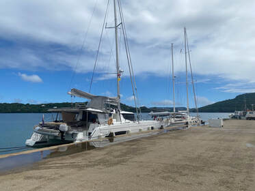
We tie up at the fisherman’s dock behind Intrepid Kiwi, who help us with our lines. I go ashore and speak to the port authority who tell me in no uncertain terms to go back to the boat and await the arrival of the customs folk.
After lunch the skipper from another yacht comes by. They are waiting to refuel so need a spot on the dock. He drops by Customs and apparently they know nothing about us, so he grabbed some forms for us and dropped them over. It seems I went to the wrong place initially and nobody thought to either mention this to me, or let customs know we were waiting. I should have gone downstairs to the empty garage. We fill out the forms and I go back to let them know we are ready. Two guys and gal finally come on board, all wearing skirts! Not very practical for stepping onto a yacht! Lots of paperwork, a few questions (no pets, yes we have plants but promise not to take them ashore), an invoice to be paid once we are released to roam free – we are officially stamped in!
I go ashore and get some cash to pay our arrival fees, and drop by the markets on the way back. So nice to see such a lot of fresh produce, even though it is the end of the day. We finally leave the dock and motor down to the mooring field and pick up a buoy. Time for some rest.
Neiafu
Went ashore to the markets as well as doing the usual rounds of the supermarket. Although food is imported here (via the Chinese owned ports) it seems plentiful and reasonably priced. Went to Tropicana for morning tea and said hi to Greg who is a Kiwi and font of all knowledge here. Team Voila, who we met in Niue, come over for afternoon tea. It turns into wine o’clock and then their friends from Perigree are looking for them so they join us as well. They give us lots of tips on their favourite anchorages here in Va’vau and invite us over to Kraken Pub for trivia night. Quite a mix of questions, including riddles and music ones which we did well on and movie and general ones which we did not. What a treat to have snitty and salad!
Hair cut desperation
Went ashore and I got a haircut at the only place in town. A Chinese guy's place with no English. I was a little dubious looking at all of the pictures of young, male K-Pop stars on the wall but it’s not the worst cut I have ever had (that was in Columbia…). There is an old dude here waiting and he is carrying on that I look so much younger and it’s his birthday and he wants something… I wish him happy birthday and shake his hand.
I don’t feel so good…
Not sure whether it was the snitty or being in a crowded pub with infected people, but we both came down with a really nasty gastro bug. Keith led the way, and I succumbed a day and a half later. As it’s rare for us to mingle in big crowds so our immune systems don’t get much of a challenge these days. I will spare you the details, but just to say I have rarely felt so bad in my life.
Port Maurelle & Swallows Cave
Kenutu Island
We head east down to the uninhabited Kenutu island, which is on the eastern border of the Vava’u group. The forecast was for light easterlies, but it is blowing 20kts so we motor into it. We are well protected from swell inside the Vava’u group though. We have to wind our way around some shallow patches and bommies, passing a few whales crossing our path, and tuck into one of two deeper “pools” the west of the Kenutu island. There is no one else here. After lunch we head ashore and walk along the beach. Its lovely but the weather is not so great so it’s hard to appreciate. We didn’t bring our shoes so decided not to walk across to the lookout today. There are black clouds gathering so we head back to the boat. Through the afternoon and evening we have strong gusts up to 30kts and lots of rain.
Tapana North
After a night of gusting and jerking around as well as a lot of rainsqualls we were both feeling pretty ragged and well, over the awful weather and in need of a good night’s sleep. Although we had some protection here, the wind swings south and wraps around the island, pushing us this way and that. After breakfast we lifted anchor and navigated our way back out through the bommies. At least the 25kts is behind us now. We saw some whales in a similar place to when we came in, but they are making sounds like elephants and sound distressed. We come around the bottom of Tapana motu and the first anchor spot looks really lovely, but not well protected. The second part, Tapana North, is a wide bay with a cape in the middle. There are 3 boats here on moorings that look somewhat permanent. We anchor along the eastern side towards just south of the beach. It is well protected which is such a relief and it’s not a bad looking place either. Voila arrive just as we are having lunch and we go over and say hi before heading ashore. We walk into a village seeing cows and pigs along the way. The village is a bit grotty and there is a lot of garbage beside the road. At least we have stretched our legs.
Very calm and still overnight and we wake to the most blissfully still morning. The water is so clear we can see the starfish on the bottom. Went for a SUP to the small beach, and a short walk up the hill, its very muddy. Paddled further around the bay but Keith’s paddle broke – the bottom just fell off, fortunately in very shallow water so he could retrieve it.
To Taunga
Lovely weather this morning but at some stage a front is going to come in from the east. We were really keen to visit the eastern anchorage of Taunga island, which we heard is just stunning. It’s a wide shallow bay with a beautiful, white sandy beach. We anchored in 3m and immediately put the drone up to capture the stunning vista, before paddling ashore. We can already see the cloud front coming so we wont have long! Walked across the narrow spit to the other side of the island which also looks lovely and also well protected (at this stage). By the time we came back to the beach that the easterly had kicked in and was blowing 20+ kts. It was a really tough paddle back to the boat but fortunately it was not too far. Upped anchor and headed west in search of another spot.
to Vaka Eitu (Via Lape and #15)
Lape was just a tiny, one boat anchorage with not enough protection. We crossed to anchorage #15 (which doesn’t seem to have a name), but it was so rocky it was impossible to find enough sand to drop the pick. Ended up at the popular Vaka Eitu anchorage, with Dappere Dodo, Second Sun and a couple of other cruisers. They are going to the Tongan feast on the beach but we are not fully recovered from our bout of gastro, so we give it a miss.
There is a wrecked yacht on the beach, apparently from the Tsunami a couple of years ago, and it still has a sail up. Keith wants to take it down! It is well protected here and so good to see the sun! Vaka Eitu
Tried to go for a snorkel along at the Coral Garden but its high tide and the waves are crashing over us. Felt like we were getting sucked out to sea as well so gave up. In the afternoon we went for a SUP to the beach. Had the dogs barking at us until we got closer to the wrecked yacht and then they backed off. There is still a solar panel and all of the deck fittings attached. The sail is not much chop though! Much easier to paddle back to the boat than yesterday.
To Foefa (Blue Lagoon)
Motored around to the Blue Lagoon anchorage and in through the shallow channel. Voila have arrived not long before us. This is a really stunning anchorage, best so far in Tonga. Keith puts the drone up. Voila drops by and suggests sundowners. Second Sun comes out of the Huanga lagoon for a picnic on the beach. Their StarLink has died after only 3 weeks!
In the afternoon we go for an explore in the dinghy. Its low tide so not able to get through the Huanga channel to the lagoon. There are some interesting mushroom rocks around the shoreline, with trees growing in nothing. We go ashore to the long beach take a walk. There is a cave and a rope swing at the eastern end. The small beach in front of us looks nice too but will lose the sun earlier. There is a “luxury” resort on the small motu in the SE of the lagoon which doesn’t actually look all that luxurious. Another boat came in, Fortaleza, a Kiwi/English couple. And with team Voila we all had drinks on the beach at sunset. Back to Port Maurelle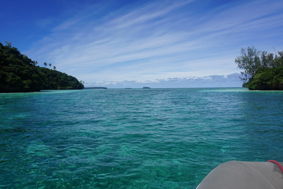 South entrance to Huanga Lagoon South entrance to Huanga Lagoon
Beautiful, sunny morning so we took the dingy into the Huanga Lagoon. The entrance was still pretty shallow but we managed to find a way through, frightened some very shy rays and a few turtles along the way. Once inside we skirted around the shore and the went out through the western cut, to the ocean side. Again some really spectacular rock formations. The cut is narrow and reasonably deep but some bommies on the north side just as you come in. Second Sun are anchored in the NE corner of the lagoon near the village. It looks quite rocky and deep. We stopped by for coffee as team Fortaleza were already there. Got back to the anchorage and the clouds are gathering to the south. Wind is increasing and rain is likely so we decided to move back to Port Maurelle again.
We went through the narrow gap between the two islands near the mariner’s cave (why not?) Mehalah are here anchored exactly in our spot from last time. We try to anchor but end up with our chain over a big bommie, so we take the mooring buoy. Mehalah invite us for drinks on the beach and dinner on their boat but it ends up being inclement so we invite the whole anchorage over to ours. We had 10 people on board, quite a lively night and a delicious meal. A lovely way to say our farewells and end our time in Tonga.
Niue's land area is about 260 square kms (about 5 x the size of Sydney harbour) and its population is around 1,600. It is one of the world's largest coral islands and has two distinct levels. The “higher” level (a whopping 60 metres above sea level) is made up of a limestone cliff circling the coast, with a plateau in the centre of the island. The lower level is a coastal terrace approximately 0.5 km wide and about 25–27 metres high, which slopes down and meets the sea. This area is awash at low tide, and forms a unique feature of Niue, it’s so called “sea tracks”, that you can walk along and explore for some distance around the island. There is a small break in the coral reef which surrounds the island on the central western coast, close to the capital, Alofi, where the yacht mooring area is situated.
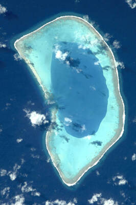 Beveridge Reef, as seen from space Beveridge Reef, as seen from space
Beveridge anyone?
The journey from Aitutaki to Niue is 601nm but we were hoping to make a stop along the way. Beveridge Reef is legendary amongst cruisers, it is a tiny uninhabited reef, submerged at high tide, which is home to some rich and unique coral and sea life. The only way to visit is by yacht and we have had it on our “must visit” list for some time, knowing it can be challenging to get into, and to anchor, even in good conditions. It would be nice to break the journey as well as it is just over halfway. In the photo on the left you can see a small gap on the western side of the reef which is the entrance to the atoll. Getting there
We left Aitutaki around lunch time, heading out through the pass dodging the incoming barge (the cargo ship was unloading) and had 3kts of current spitting us out of the pass and into the ocean. We had waited much longer for a weather window to leave Aitutaki than we really wanted to, and the window we had certainly wasn’t ideal, but it was do-able. We expect at least one southerly front to pass over us, but we are ready for what-ever the wind gods throw at us. In the dead calm of Aitutaki harbour we were able to raise and lower the main, check, untangle and mark all the reef lines and halyards. It will make for quick and easy reefing in the shite conditions that we were to encounter.
We had light winds to start with, motor sailing with the main up before we were able to unfurl the gennaker later in the afternoon. Changed to the Genoa as winds built to low 20s with dark skies all around us and seas whipping up to be fairly rough. Overnight the breeze lightened and clocked east, then slightly north so we could goosewing the sails and shake out reefs. It’s slow progress as we wait for the front to come through. We have rainy conditions and the wind continues to shift north. It’s not long into our journey that we realise the conditions we are getting mean a tough decision to skip Beveridge Reef and go directly to Niue (DO NOT pass Go or collect $200…).
The sea-state is too rough and conditions so unpredictable that we could not guarantee a safe entry to the reef. And even if we could get in, it would probably not be much fun, as there is no protection from the elements, and we may get stuck inside! There are several shipwrecks dotted around the reef… We are disappointed but quickly refocus on our revised destination of Niue. In particular we now have less time to figure out where we have “hidden” the courtesy flag! Damned if we could find it before we left Aitutaki….
After re-routing ourselves slightly more north to aim for Niue, we lost the wind again as we came into a trough. We passed under a long and ugly looking dark cloud band, dodging a particularly nasty black section. It barely raised the wind speed but we avoided a patch of heavy rain. On the other side the wind turned westerly, light at first but increasing for a time before dropping off again. With all of these changes of wind direction the seas are now pretty confused, a bit like us! Finally at midnight the wind shifts south, light initially but it soon fills in and we get sailing again.
Overnight we had some great reaching conditions in southerly winds before it turned easterly and we had some excellent running with a main and Genoa goose winged. It peaked early morning and we had to slow ourselves down with 20kts up the duck! It then died of course and we motored for a bit before wind came back from the north. This flipping back and forth in wind direction is just crazy. It’s hard to trust the forecast when it’s all over the shop. It’s been up and down all day but after lunch another ugly black cloud and the wind has turned south. Not too strong but we are expecting squally conditions from now on. In between we have had a few rays of sunshine and even got some washing done.
A wonderful sight out of the darkness
Niue is a low island, only 60m elevation so on a dark night in heavy seas it was not easy to see. We flick the radar on and have set a course to stay at least 2nm from land, as shown on the charts. The radar validates the charts as the overlay picks up the island exactly where the chart shows it. In the darkness we scan carefully along the horizon and finally just make out the edges of the island on the southern coastline. We gybe to come around the SW corner and start to get some protection from the winds. Conditions continue to ease as we get closer to Alofi and we can see a few anchor lights! What a relief! Now we just need to find a buoy.
We drop the sails and I set up the mooring lines to pick up a buoy. It’s just before 6am but still pretty dark. We have the big torch to scan the water but can’t see anything. The buoys have reflective tape but maybe they are all taken, or the tape has blown off! Then, remarkably, out of the darkness there is a dinghy heading towards us! It’s the crew from SV Auryn (who we met in French Polynesia). They had been ashore to the markets early this morning and now kindly guide us to a free mooring buoy. What a wonderful welcome from fellow cruisers! After a sleepless 12 hours, taking a beating from the wind and waves, it was so good to be safely moored that I burst into tears of relief. We had a hot chocolate (with a little fortification of course) and hit the hay for a few hours.
Mooring in Niue
The waters close to the coast of Niue are quite deep so anchoring here is not possible. There is no natural harbour on Niue and no marina. On the west coast, close to the main town of Alofi, the Government has installed a number of yacht moorings, secured to the sea floor with massive concrete blocks and chains - they are known to be well maintained and very safe. The mooring field is reasonably protected from the prevailing trade winds - although frankly they haven’t been doing much prevailing lately - but exposed to anything from due south through west to due north. The swell is ever-present, some days worse than others.
The Niue Dinghy Dock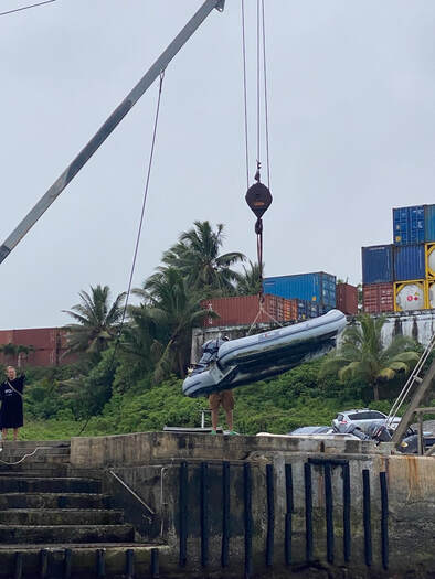 The crane The crane
In most places we have visited we are able to take our dinghy ashore, tie it to a floating dock in a protected port or marina, or even pull it up onto a beach. But not in Niue. The infamous dinghy dock is basically a concrete pier open to the sea and if you left your dinghy in the water tied to the dock, it would quickly be smashed to pieces by the relentless swell that batters the coastline. Instead you must come alongside the concrete wall in the dinghy, lift it out of the water with a crane (!) and lower it onto the concrete pier where it is stored while you go ashore, reversing the whole procedure when you head back to your boat.
There is nothing else remotely like the Niue Dinghy Dock that we have ever encountered anywhere, and no matter how much you read or research in advance, nothing prepares you for your first encounter. You just have to do it! All boats have to dock and launch this way, including the dive boats and whale watching boats that operate commercially. It’s an impressive sight! Some days it can be too rough to launch or go ashore, and we have heard stories of cruisers who could not get back to their boat for the evening when the weather got up, having to take a hotel room in Alofi…
Prior Preparation Prevents Poor Performance
Before heading to the dock we need to prepare our dinghy for the experience. Our buddies from Dappere Dodo have dropped by to kindly demonstrate their set-up, which helped enormously. Normally when we lift our dinghy out of the water onto the back of the boat we use 2 lifting points, one forward and one aft. This keeps the dinghy horizontal as we lift it. The Niue crane only requires one lifting point, so we have to rig up some lines to a single, central point in such a way that ensures the dinghy stays horizontal as we lift it – otherwise the contents could fall out, not a good look! It’s not easy to figure out where the centre of gravity is on the dinghy because we have a heavy motor on one end, and 2 fuel tanks on the other. Needless to say it took a few iterations to get this right.
The moment of truth
Checking in
Checking in was super easy (compared to the dinghy dock!), very friendly officials. Immigration was not there but it’s no problem! They will stamp us in and out on departure. We went in search of the tourist office and had roti for lunch at a little café. There are few rental cars on the island and all are taken, but lucky for us our buddy’s on Dappere Dodo have one, and (as they kindly did in Aitutaki) are happy to share! Alofi is tiny, there are a few shops and cafes, a bank and a post office combined. We are told there is a supermarket out towards the airport, but you need a car to get there, and they probably don’t have anything fresh. Fortunately we are still well provisioned from Aitutaki.
A whale of a time
Between June and October, humpback whales migrate to Niue's warm waters for breeding and calving. The waters around the island are deep enough for them to come in very close to the island and we are just amazed to see them cruising through the anchorage each day. We see what looks like a family of 3, possibly a mother an adolescent and a youngster. Such a treat to see them breaching and tail-slapping a few meters from the boat! After dark we are stunned to hear some whale-blows really close by, and with the torch we spot a big humpback surfacing just a few meters away! Whoa! Not sure what their eyesight is like, but we hope they don’t accidentally come up between the hulls.
Caves and ChasmS
We join with Team Dodo & Second Sun, who have both managed to organise rental cars, and have invited us to come exploring with them. With the kids and adults there are 11 of us distributed between 2 cars - a noisy and somewhat chaotic drive up to Avaiki cave ensues. It’s a short walk down a forest track and then across some rocks to the cave that you can swim in. The water is crystal clear and cold, fresh water on top of salt water and beautiful to swim in. The turquoise water contrasts with the purple crystalline coral growing on the waterline. Outside the cave, along the shore is a rock shelf and with the tide out it is a shallow coral garden that you can walk around. Some amazing coral and seaweeds in the shallows. Something that is quite unique to Niue. There are “sea tracks” like this all along the coast, which appear at low tide and you can walk along and explore the coral gardens and rock pools.
Next stop is on to Matapa Chasm, again a short walk from the road through lush forest to reach this long, narrow and high-walled chasm which runs down towards the sea. It is almost enclosed, but for the s-bend in the end and we can just see through a small gap to the ocean. Again we see the beautiful purple hue covering the rocks, a kind of crystalline coral algae. It forms a line around the tidal zone, and looks amazing against the turquoise waters. The water is deep and again, fresh and cold on top with a distinct layer.
Island Drive
Team Dodo have kindly given us the car keys so we spend the morning on a short drive around the south side of the island. Out of curiosity we dropped into Swansons supermarket (ok we can’t help ourselves!), and verified that there was no fresh produce, and definitely no eggs! The weekly flight delivers limited supplies and no doubt they are gone within minutes!
Drove to Washaway bay in the SE corner of the island. It is beautiful and wild, with high cliffs around and a small beach and dock. There is a dinghy lifting crane here too, although we wouldn’t be too keen to use it! It looks even crazier than the one in Alofi!
Next it was on to the eastern side of the island and we took the path towards Togo Chasm. The walk through the forest was beautiful, very green and lots of lava rocks scattered about. Very like “Lord of the Rings”. We emerged from the forest to a lookout over a rocky shore and down towards the ocean. The track continued about a kilometre or more to the sea and the chasm but the wind was howling and rain getting heavier so we couldn’t continue down.
We treated ourselves to lunch at the Matevai resort, with their balcony overlooking the sea, although sadly the experience was underwhelming and not so much of a treat. We headed north in the afternoon and stopped at Palaha cave - a huge & spectacular limestone cave opening onto out onto the coast. It’s wet & incredibly slippery and we both take a bit of a dive!
Next stop was Limu Pools, a short walk from the road but quite spectacular so I raced back to the car to get my swimmers and went for a swim. These are tidal pools surrounded by limestone rock formations, with water so crystal clear, but deceptively deep. There are some fish and coral here as well, and fresh water mixing with sea water. Hunting UgA
Around 6pm we went ashore again and hoisted the dinghy - we are getting really good at this! Met Dodo and Second Sun ashore and we all drove around the top of the island to the NE corner to meet Tony, who took us Uga hunting. It was pitch black by the time we started, with Tony leading us along a very rough path. I begin to think I should have left a trail of breadcrumbs, as we are so focussed on looking for Uga (coconut crabs) that we get disoriented. The kids are a little over-excited and the Ugas can probably hear us coming a mile off! As we all quiet down we start to spot quite a few crabs hiding in the lava rocks. Some up quite high. They feed on the coconuts that either fall from the trees or are scattered around by the locals who like to hunt them too. Tony found three edible-sized crabs for us and deftly tied them up with some vine that he finds in the forest. The really big ones are well past the eating stage and after being passed around for a biology lesson, they are released to continue their evening’s coconut-grazing. Likewise smaller ones are left alone. The middle sized ones are fair game though and the kids carry our tethered trophies back to the car. We finish the evening with fresh coconut water before heading back to the pier to launch the dinghies in the dark!
The oddest birthday gift…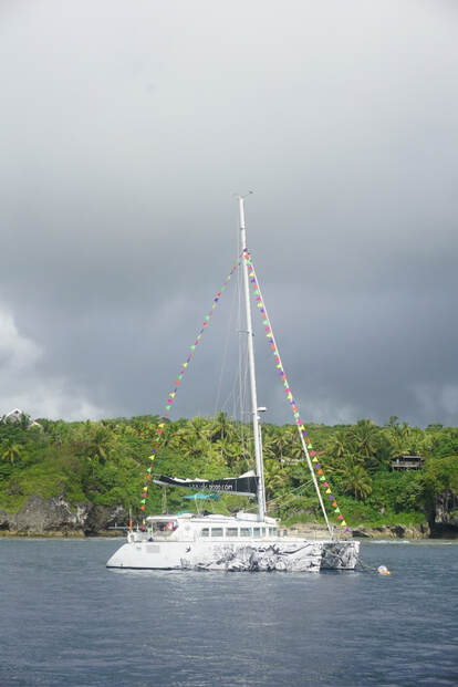 SV Dappere Dodo, dressed to the 9s! SV Dappere Dodo, dressed to the 9s!
The Uga spent their final night in captivity aboard Second Sun and Dappere Dodo and the Uga hunters re-united the following day to consume our quarry and celebrate Cassie’s Birthday with lunch on Dappere Dodo. We heard how Paul had to get up in the middle of the night to tie a rope around their Uga who was desperately trying to make good its escape!
It was very amusing to watch Paul try and untie his Uga without getting bitten – those claws are pretty nasty. Finally all the ties were gone but the Uga clung on to the bucket for dear life! Paul finally decided to take the bucket with the Uga attached and insert it into the boiling water, quickly putting the lid on! Problem solved! They sure put up a tough fight – both Paul and the Uga! Like lobster the Uga turn orange when cooked and were delicious! Even better than mud crabs. Dappere Dodo was dressed overall for Cassie’s birthday looking very dapper indeed. I thought long and hard about what to offer as a birthday gift and I have to say it is the first time (and probably the last) that I have given someone a half-carton of eggs for their birthday. Cassie was absolutely delighted! She had been out of eggs for a week now and there were none to be had on Niue! Now she could treat everyone to Dutch Pancakes. Of the many things we take for granted, eggs has been one thing that I never expected would be hard to get. Particularly when chickens seem to be roaming wild! Only cruisers will understand the significance of this gift… If you know, you know! It was a lovely way to finish our time in Niue. The sheltered bays of Tonga are calling us after a week of being buffeted by the rain, wind and waves of Niue, and we are craving some sunshine. We left in the evening with several other boats, hoping for a kinder passage to Tonga. Oh and yes we did finally manage to find the Niue flag before we left!
Having lived in Sydney for over 30 years we were no strangers to the madness and excess that is Sydney’s New Year’s Eve celebrations. The fireworks are legendary and have been managed by the same family for the past 20+ years, under the guidance of several different artistic directors. We were fortunate to have a reasonable view of the harbour from my apartment in Mosman, which hosted a few NYE celebrations, and we have also had the pleasure of hosting guests out on the harbour on our skippered charter catamaran (TooUp) several years running. Although the events were toned down during Covid times, they have now come back with a vengeance. As we celebrated NYE 2022 in Santa Marta Coluombia, we hatched a plan with several Aussie-bound fellow cruisers to “raft up” in Sydney harbour for the much anticipated 2023 event.
We arrived in Sydney harbour mid-December, which marked the end of Part 1 of our 5 year odyssey from La Rochelle (France) to our home port of Sydney - the first time ITIKI had been in her home port and for us a significant and emotional homecoming. We reconnected with fellow cruisers who had shared our trans-Pacific journey and plans for the big night were finalised. We would not be doing this by halves, and would not be doing it again (well probably not…) so we opted for prime position in Farm Cove, right next to the Opera House.
The time has come
After enjoying a lovely BBQ at Whiting Beach with family, we headed to the anchorage on the afternoon of the 30th and snagged a spot near our buddies on SV Miles Away. There were already quite a few boats in place but fortunately we could still get a good spot with enough swing room to stay overnight. It’s a rolly anchorage at the best of times, copping wake from all of the passing harbour traffic. This then bounces off the flat, sandstone walls lining the bay and heads back through the anchorage again! Not the most comfortable place! Things however settle down overnight as the traffic dies down and we do manage a reasonable sleep.
The next morning we are up early and catch a glimpse of LawConnect (winnder of this year's Rolex Sydney to Hobart Yacht Race) returning to Sydney. There are still quite alot of boats on their way to Hobart so this must have been a quick turn around.
Keith drops me and a fellow cruiser at Woolloomooloo as we thought a walk in the Botanic Gardens might be a nice way to spend the morning, but the barricades are already up and the queue for entry to the foreshore had started to move so we settled for a quick visit to the new Modern Art Gallery, which has a diverse display including indigenous artworks as well as a couple of nice cafes.
We spent the afternoon chilling, putting some ZZZZs in the bank, prepping some dinner and chilling the drinks. Entertainment was provided by the dozens more boats arriving during the afternoon. Pretty much every craft that floats, and a few that probably shouldn’t, end up on the water on NYE and it's crazy. We have anchored our boat hundreds of times in all sorts of conditions, sometimes in pretty crowded places, but we know that many people only do this once a year. They have no idea about scope or swing circle let alone actually setting their anchor. We put fenders out and keep an eye on things, offering our helpful advice if anyone seems to be dragging or swinging a little too close. Fellow cruisers even jumped on board another yacht whose new owner was struggling to set the pick. It’s a time for tolerance and friendliness and not being precious about personal space. Most people will be staying on their boats during the show and many of the smaller ones won’t be overnighting. RMS and the Water Police are doing the rounds in a very jovial manner, checking that everyone is behaving themselves and staying out of the exclusion zone.
Let the fun begin
The Main event
We drag ourselves out of bed, remembering why we are doing this … It's going to be amazing!! We head up to the cocktail deck to get into position, a small tot of St Lucia’s finest rum ready to toast the occasion. The NYE concert at the Opera House is live streaming on our stereo, and under the glow of the Opera House sails we can almost see the performers on the stage. The old "coat-hanger" (aka Sydney Harbour Bridge) is looking her glamorous best, with a continuous light show casting colourful reflections over the massive fleet of vessels now lining the harbour. There are a dozen or so tall ships, their masts and rigging illuminated in a colourful and synchronised light show as they make their way along the harbour in a ghost-like parade of sail.
And finally the moment is here. The countdown begins and the entire anchorage joins in the chant…. 5, 4, 3, 2, 1! Well the fireworks did not disappoint, the carefully choreographed display filled the city and harbour skies, lighting up the water like lightning for a full 13 mins. The thing you notice most about being in the thick of things is the noise. On video and on TV it sounds like pop guns, but standing on top of your boat it’s more like bombs going off. The sound really hits you in the chest! The ooohs and aaahs and squeals of delight from the boats around us only just audible between explosions. It goes on and on and on with fireworks on top of buildings and along the length of the harbour. The display reaches a crescendo with the much anticipated waterfall of light cascading off the deck of the bridge as lasers and searchlights bounce their beams off the prolific smoke that is now rising above the coat-hanger. It is impossible to watch everything at once! The smell of cordite reaches our nostrils now and finally the show is over with loud cheers rising up from the crowd around us. Happy New Year and Happy New Cruising Season! The Morning After The Night before
As the ash starts to settle the madness starts again. Although it’s not permitted to enter the exclusion zone until 00h45 you can move within the anchoring zones. The smaller boats start to move first and gradually the anchorage starts to clear out. After the calm of the last few hours we start bouncing around again and the harbour turns white with boat wash. After about an hour or so we look around to see who is left and who is staying. There are a couple of boats that are a little too close for us to overnight, and after a few quiet words about swing circles and our need for sleep, they decide to head home. We finally get to bed around 2am.
It’s a slow start the next morning and there are even fewer boats around when we surface. There is a fine coating of pyrotechnic ash covering our white deck, despite the rain we had overnight. Those brave souls who anchored right on the boundary of the exclusion zone now look like they are anchored alone in the middle of the harbour! All in all it was a very special night. Wonderful to meet up and enjoy the fun with friends and fellow cruisers with whom we shared our last Christmas and New Year, as well as our trans-Pacific journey. A very fitting celebration of the end of Part I of our cruising adventures and a spectacular introduction to the start of Part II…
If you are heading to Australia and planning to tick "New Year's Eve in Sydney Harbour" off your bucket list here are a few tips...
Top 3 anchorages to watch the fireworks
Tips for the best New Year’s eve you will ever have
Its impossible to fully appreciate the show from just one position. Take a look at the official video which incudes some amazing aerial footage. (Apologies for the ads).
Above: The Cook Islands west of French Polynesia
The Cook Islands is a self-governing island country in the South Pacific Ocean in free association with New Zealand, who annexed the islands in the early 1900s. The NZ dollar is the official currency and Cook Island’s Maori and English are the official languages.
Cook Islands comprises 15 islands whose total land area is only 236.7 square kilometres (91 sq mi). Of the 15 islands, 5 are uninhabited (two of those are submerged reefs anyway). The Cook Islands' Exclusive Economic Zone (EEZ) covers 1,960,027 square kilometres (756,771 sq mi) of ocean. That’s a lot of fishing ground! Two Thirds of the 15,000 strong population live in the main Island of Raratonga, with Aitutaki the second most populated. The islands are spread over a huge distance so visiting them by yacht means choosing to stop at one, maybe two islands as you make your way west. We chose Aitutaki, well maybe it chose us, as the weather really did have a lot of influence on our journey from French Polynesia onwards. Leaving Maupiha’a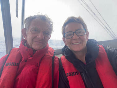 A rainy passage A rainy passage
From the shelter of the lovely lagoon of Maupiha’a in French Polynesia to Aitutaki, Cook Is. is 360nm, a 2-3 day journey. We got away just after 8am motored through the cut - it’s always much easier going out because you have your previous track to follow! Light airs were forecast and we two sail reached with the gennaker for a while then tried goose winging but as boatspeed dropped below 2kts it was time for the Volvos. Lovely sunny day. Gentle seas. Just waiting for a fish to jump on the line... Had a southerly squall come through just before 11pm bringing 25kts and a nice dump of rain. It sat on top of us for a while and then moved on. We thought it was the anticipated change and hoped it would leave us with a bit more pressure but it left us with 11kts from 040 TWD. Hmmm. Wind remains just a little too light for us to make decent speed so we motor through the night and the following day as well. At least the sea is flat, the sun is out, the batteries and water tanks are full. A good day to catch up on washing, although it is slow to dry. The wind is trying to build and starts gusting into the low teens and we finally got the motors off around 8pm Sunday night, when we unfurled the Genoa. Beautiful sunset but a very dark night with heavy clouds and no moon. Wind is variable in speed and direction: 10-19 kts from 80-120 and our boat speed varies a lot too. Seas have become very lumpy and uneven but thankfully not slowing us down too much. We are keen to arrive before dark into this tricky harbour and ahead of the next southerly front. At 4am watch change we swap to the gennaker to get some extra speed and ensure timely arrival. Took it down early Monday morning and went back to the genoa as the wind was getting up and we had squalls approaching. Had rain on and off most of the day and big seas but we were able to keep the speed up and as the pressure backed off, and go back to the gennaker again. Visibility was poor and we could not see the low island of Aitutaki until about 2 miles out. What a relief though. Got some protection from the wind and swell as we rounded the top of the island around 3pm. We can see the waves breaking along the western reef.
The Aitutaki Pass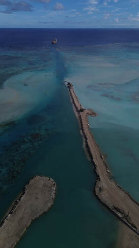 Aitutaki Pass, from the reef to the habour Aitutaki Pass, from the reef to the habour
Aitutaki is a tiny, teardrop-shaped island protected by a fringing reef and some smaller motus, with a huge lagoon surrounding it’s southern half. The pass through the reef and into the harbour is probably one of the most daunting we have seen. It is really quite long, over a mile, and very narrow and shallow. They have been dredging the channel for some months now and the dredge is still in place when we arrive. We have researched this one carefully, even finding a recent YouTube video someone had posted of their entrance captured on GoPro. Very helpful!
We came through the long and narrow pass Aitutaki Channel without incident although it was raining my the footage of our grand entrance was a little disappointing. Andy from SV Second Sun got in touch on the radio and gave us a few tips as well. As there were 3 boats on swing anchors in the tiny harbour we anchored outside the breakwater, between bommies. It is so well protected from the swell in here, and for the moment the wind too. We felt like we were sleeping on land! Customs & Immigration had knocked off for the day by the time we were anchored so we will go to see them in the morning. Arutanga, Aitutaki, Cook Islands
Tried to contact Port Authority in the morning and they finally answered around 10 and told us to go ashore to Customs. Officials were very helpful and organised the health chappie to come to us for the health check, which involved filling out a form and paying a fee... After that we met Victor from Biosecurity at the dinghy dock and took him back to the boat. He looked at our fruit and fridges and my plants, told me he was supposed to take them but we assured him we would not take them ashore. He let us keep them, which I think he probably does with everyone. He was happy that our boat was very clean and not going to be an issue. It rained pretty heavily on and off for the rest of the day so we didn’t really do much, just cleaned up after our passage and sorted things out on board. Had 25-30kts gusts and we think we dragged a little so we moved the boat forward to another clear patch in the channel, and seem to be holding better.
Watching the barge unloading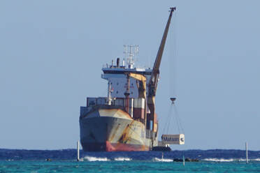 A delicate operation in challenging conditions A delicate operation in challenging conditions
In the morning we noticed a big cargo ship moored outside the reef near the entrance. Conditions are pretty bouncy out there, and the ship is a few days late due to bad weather. The supply ship is way too big to come in through the narrow pass and into the tiny harbour so a barge goes out to shuttle the containers off the ship and back into the harbour. We watch in awe as the tiny barge comes alongside the container ship with both bouncing up and down in the swell. A crane lowers two containers onto the deck of the barge and they are ferried into the harbour and quickly unloaded before the barge heads back out for another load. This goes on all day and is truly amazing to watch. I guess they have no choice if they want to fill the supermarket shelves. Everything comes in by cargo ship, including fuel and cooking gas, fresh and frozen food, building materials etc.
Walk across the island
We walked across the island from the harbour to the other side, which did not really take that long. The island is like a country town, some of the houses are quite substantial and others are made from shipping containers, which seem to be plentiful. Almost every house has a couple of graves in the front yard, presumably grandparents or parents. We can catch glimpses of the vast lagoon through the trees and houses that line the shore.
VIP guests arrive
We were on the dock chatting to some fellow cruisers just as a traditional Waka style sailing catamaran was coming in to the harbour. It’s a group of volunteers that does special trips for mentoring of young, troubled kids. They have come all the way from Samoa, well north of here, on their way to Raratonga, to the south, but conditions got pretty rough so they have stopped in to Aitutaki for a breather. Once the word of their arrival came through, a group of supporters organised a welcoming party of school kids to come down to greet them. They sang a traditional song and one young boy did a kind of mini-Haka. What a lovely, spontaneous moment we shared. Later in the day we are invited aboard for a look. The boat is a catamaran with a huge wooden oar style tiller, all carved with traditional motifs. No autopilot. It has centreboards which are raised and lowered with some levers on the deck. No winches whatsoever, even for the anchor. Tough work!
Road tour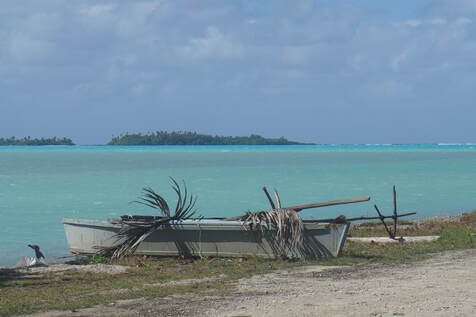 Local boat by the lagoon Local boat by the lagoon
Our fellow cruisers who are anchored in the harbour both have rental cars and have kindly offered them to us while they do other things. We were able to do a refuelling trip (with Gerry cans), a provisioning run and then a complete circuit of the small island in the space of a few hours. Enjoyed a scrummy lunch at Avatea Café which was a really lovely spot set in a lush garden. Then around the south of the island along muddy, grassy roads, dodging goats and scuttling crabs. Then we headed up the east coast winding up into the hills, stopping at the view point, which is not particularly high. It’s not even the highest point on the island but we can see down to the eastern side of the huge lagoon that surrounds the Aitutaki. From there we went up to the north of the island and past the airport, just as a plane took off. We continued on down to the southern end of the peninsula where there is a lovely beach in the lagoon. We also found the Aitutaki sailing club which has a single Hobie cat! Stopped at a hardware store on the way back and like most places it has a mixture of stock including grocery items, household appliances, frozen meat, animal feed and wine. You have got to make it worthwhile opening!
We invited fellow cruisers from SV Second Sun and Dappere Dodo aboard for drinks. They brought the kids which was a bit chaotic but very lively and fun. They headed back just on dusk and we all met at 8pm on the dock and drove up to the Tamanu Hotel to watch the Island Show. This was a dance troop with men and women doing traditional dancing, along with the live band. It was quite good as far as tourist fare goes and they got us up for some audience participation at the end which was fun and very amusing. Us honkies must seem so stiff and stilted compared to the professionals! A lovely evening.
Waiting on the Weather to change (Again)
Spent a morning aboard planning and trying to figure out the weather. With the change over from La Nina to El Nino the usually consistent "milk-run" easterly weather patterns are just not happening. Instead we have a steady stream of southerly fronts coming through and sometimes they are pretty strong. Picking a weather window for a 3-5 day passage is challenging and frustrating, but we just have to be patient and make the most of being where we are. We are still outside the small harbour and had to re-anchor a couple of times as we are getting spun in circles by the current, and wrapping our chain around bommies. The harbourmaster must have seen our shenanigans and called to check if we were ok. We tried putting a float on the chain to stop it wrapping around bommies but it got tangled up in everything and ended up going under the keels making the situation even worse! It’s raining and unsettled still and we have to shake ourselves out of a bit of a grey mood. We can see a whiff of a window this coming Friday so fingers are crossed.
As its Sunday, I decided to head to the Baptist Church Service in the afternoon, with Paul and the kids from Dappere Dodo. The church-goers assumed I was the mother (or maybe their grandmother), which was a bit weird! The service was very lively with several, colourful musicians and singers, loud and proud affirmations and lots of praising the Lord Jesus. We were welcomed by name as guests of the congregation which was lovely. Aitutaki LagooN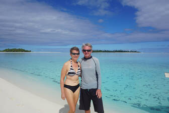 Honeymoon Island Honeymoon Island
Its not permitted to explore the vast lagoon using your own dinghy, and you must do an organised tour. In any case its probably better to do a tour as it would be impossible to find the spots they take you to. Its actually pretty large area to cover with plenty of hidden hazards, so its great to be wizzed around in a big power boat by people who know where they are going! Started around 9:30 ish and first stop was snorkelling with the GTs or Giant Trevally. Obviously the fish know where to come for a feed, and they certainly look pretty healthy, (apart from the one with a big chunk out of its back) and they are very big fish! There was one lonesome Bump Head Wrasse swimming very slowly with them as well. The water is surprisingly cool and I am wearing a stinger suit. Next stop is Honeymoon island. We are dropped off on a long white sand spit that we can just walk along and get picked up by the boat at the other end. Apparently you can have private accommodation here, or used to be able too and at some stage it hosted the odd honeymoon. Nearby is the spot where they filmed Survivor in 2007.
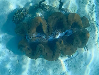 Giant Clam Giant Clam
Next we stop to snorkel at the giant clam farm. It seems that the native clams have died out for some reason and so Australian giant clams have been introduced to replenish stocks. They are very colourful and often quite speckled patterns. We can see the empty shells of the dead clams as well as some healthy looking live specimens.
We stop for lunch at an small motu where we find some nesting frigate birds with a few very cute, fluffy little chicks on the ground. Lunch was great! BBQ tuna and chicken as well as salad and fruit. What luxury!
After lunch is our final snorkelling spot amongst the purple coral garden. It is quite a long channel and tough going as we weave away along and into the current, but we make it to the end. Some really nice coral along the way. Interestingly there are no reef sharks here in Aitutaki Lagoon, not sure why.
Final stop of the day is the famous One Foot Island, which (you will never believe it!) is shaped like a foot. We walk around the whole island with its narrow channel on one side and beach huts scattered amongst the trees. It’s a popular destination with day trippers and the water is crystal clear. Time to Move On
We spend the following day prepping for our next passage, sorting out reeflines, topping lift (which broke on our passage here) prepping the main and checking halyards etc. We finally have a “sort of” weather window to head to our next destination, Beveridge Reef. It’s a totally submerged reef between Aitutaki and Niue and if conditions are right we can enter the atoll - it is teeming with sea-life and sounds amazing. The big question is, will the weather cooperate so we can make it into this unique location??
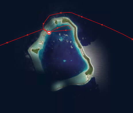
To the west of Bora Bora lies two more of French Polynesian islands. The tiny, relatively quiet atoll of Maupiti, with its spectacular Mount Teurafaatiu and surrounding reefs and motus is a popular destination with yachties travelling west. The entry pass is long and notoriously challenging though and with the strong winds that have been blowing for weeks now, generating waves over 2-3 metres, was never going to be an option for us to stop. Even if we managed to get in to the atoll, we might get stuck and it could be weeks before we got out again! Instead we opted to break our journey to the Cook Islands by making a stop at the atoll of Maupiha’a, a bit further west. The Maupiha'a entry pass, while “exciting” is short and relatively easy. Although we have officially checked out of French Polynesia we decided to spend a little time in this "no man’s land".
A week in “No Man’s Land" – Maupiha’a
We start off with two headsails as the winds are behind us. Winds are low at first but they get up later as we get out of the influence of land, and the swell builds to 2m+. Sometimes the swell smacks us and just exhaust the sails and they snap back hard. Lucky we didn’t have the kite up. Lovely sunset, moonrise around 11pm. Our overnight passage is uneventful, although the wind was up and down a bit. I spot land about 10am and we are falling below course so we furl the genoa to come up head for the north of the island.
The Maupiha’a Cut
The cut is relatively narrow but deep sided and with strong currents at the entrance pushing us to port as Keith tries to line up. Once we are into the channel it goes pretty smoothly. There are some rocks on the left side as we come in which we leave to port, and then it’s a clear run across to the anchorage. There is one other cat here. We spend the day catching up on sleep and have decided we don’t want to rush off tomorrow to beat an approaching trough. We will stay here, relax and explore while it passes, and then head to Aitutaki.
Meeting the Maupiha’ans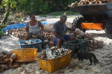 Norma and Harry hard at work Norma and Harry hard at work
We went ashore to meet Norma and Harry, the island’s caretakers. We put together a little care package of some food items for them as we heard there is no regular supply ship here and while they are self-sufficient, the extras that yachties drop in with are always appreciated. Norma and Harry work on harvesating the copra, removing it from the coconut shells by hand, soaking it in seawater and then drying it on big wire beds in the sun. They have to wait until there is around 40 tonne of copra before the boat will come to collect it. They never know in advance when that will be, being informed just a few days before. Communications are limited to one satellite phone which is shared amongst the island’s 8 inhabitants. All of their power is solar and they collect their own water, grow herbs, fish and hunt coconut crabs. Norma also collects the tern’s eggs that are plentiful at this time of year.
There are 8 people living on the island, Norma is the boss of Maupiha’a but her boss is in Maupiti. They have lived here for 13 years and Harry would gladly stay forever – Norma is not so sure. Grandchildren are growing up and its very isolated here. Norma was not shy in telling us that she and Henry are the most productive of the people living on the island, in terms of copra.
Later on we took the dinghy over to an old stone dock and walked through to the exterior of the island to take a look at the reef. The wind has settled considerably since we arrived yesterday. Lovely lunch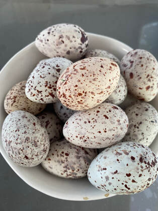 Great haul of eggs Great haul of eggs
We were joined for lunch with Norma and Henry by a lovel Japanese family on SV Santana (20 year old Catana). Akira and Mayo and their son (7) and daughter (5) are relatively new to cruising. Lunch was a fabulous spread with carpaccio of parrot fish caught by Henry), fried fish and curried coconut crab with rice. Norma had also made some tern’s egg omelettes. It was Delicious, and what an amazing spread. We sat around in the afternoon chatting (I had to translate as H&N don’t speak much English) and watching the kids play.
We went to see the terns, walking along the path towards the sea. They are so loud and so many of them, it felt like an Alfred Hitchcock movie! The kids collected lots of eggs which we took back to ITIKI. The challenges of getting eggs through the Caribbean and Pacific have been well noted, so I was certainly keen to try this ready supply. Norma gave us a heap of leftovers food as well which was very generous. That’s dinner sorted, and as it turned out, lunch the next day. South Mauphia’a
The next day a couple more boats arrived, both that we have met briefly before. Keith dropped over some frozen water for Norma and Harry (their fridge is broken). Went for a dinghy ride down to the south anchorage for a look, passed a few huts along the way. It’s quite shallow right down the very end. We beached the dinghy and walked around the end of the last motu. It’s a lovely, course-sand beach and lots of hermit crabs of various sizes gathering together, checking out each other’s shells. Apparently they can swap shells with each other as they grow and do it in a group so nobody is left naked or homeless for too long. We watch for a while as everyone checks out a fancy looking new home, but it seems it is not practical and it is passed in at auction.
We came back via a couple of large bommies in the middle of the atoll but it was a bit too rough to consider snorkelling here. We had some fellow cruisers over for drinks, I made curried eggs with the terns eggs. A slight fishy undertone but otherwise YUM! What’s under the water
After a lovely sunny morning, the weather started to turn and big black clouds were gathering. This is the trough passing over us, which means we will be clear to leave soon. We tried to snorkel the cut but visibility was poor, current was fast and there was nothing much to see. Went over to a nearby motu and anchored there. Some quite small bommies with lots of fish and reef tip sharks circling in the shadows. A little disappointing after Fakarava, but it seems now that everywhere will be!
We said our farewells to Norma and Henry and left in the morning for Aitutaki, Cook Islands. A 360nm journey. It was a very relaxing time and nice not to be rushing or counting the days. So glad we took the time to slow down in Maupiha’a
Bora Bora - so good they named it twice?! - is the last of the Society islands we officially visit, as we now have very few days left on our FP visa. We have had strong easterly winds for some time now, which makes it a quick trip across the 28nm to Bloody Mary’s anchorage, Bora Bora.
The wind's strenghthened some more as we came around the western side of the island as we hardened up, with wind blowing the tops of some big breaking waves, which mark the edges of the reef entrance. We come through the pass, small motus on either side, and we are greeted by the towering green peaks that have become so familiar. We head around to Bloody Mary’s mooring field. It is howling 20+kts through here and the BBMS RIB is quick to drop by and collect the CPF4000 fee. Pretty steep but we have no choice, its all mooring buoys in Bora Bora (apart from 2, very marginal free anchorages). We head into the gendarmerie and start the French Poly check out process, which takes a few days as paper needs to physically go to Tahiti and back! There are seven forms to fill out! Hmmm - We only had one when we arrived!
Heiva Bora Bora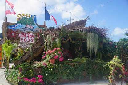
Heiva is a Tahitian tradition that celebrates life. The word “hei” means to assemble while “va” means community places. Singing and dancing are the most popular performances during Heiva, but the outrigger canoe races also attract a lot of enthusiastic support. This event brings together Polynesians every year, helps keep the traditions and culture alive, and is a unique and magnificent celebration to behold. Village groups practice all year round for the annual competition, the smiles on the faces attest to the genuine joy of their performances.
Heiva dances were forbidden during the 19th century by English missionaries who believed that these demonstrations were an erotic form of debauchery. There sure is a lot of gyrating, sweating and shaking of tail feathers involved in the dance routines. In 1985, French Polynesia gained political autonomy from France and they started organizing Heiva again. We were delighted to be able to catch a performance, having missed it during our time in Tahiti. Below are a few highlights of the lively and energetic performance. The town has a festive atmosphere with evening food stalls and carnival games. We came across one of the Heiva teams doing some last minute practice which was fun to watch. We took our seats in the small "grandstand" and enjoyed truly memorable show. The first group was mainly singing with some basic dance moves, a bit like Physie. Such beautiful voices and sheer enjoyment and pride on the faces of the performers. The second set was the "dirty dancing" with 3 costume changes, lots of hip shaking & ass wiggling from the ladies and knee-knocking from the fellas. Absolutely fantastic. Amazing to think these are not professionals, just regular "village people" with day jobs who do this as a hobbie or pass-time to maintain their culture and keep story-telling traditions alive. Such passionate performances. The long way around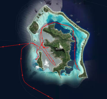 Our route around the island Our route around the island
There is a beautiful anchorage on the south east corner of Bora Bora and we decide to go take a look. Although its only a couple of miles from the BB Yacht Club where we are moored, we can't get to it by going around the south end of the island, we have to schlep all the way around the northern end of the island, and down the east side. The wind is quite strong and gusting in the low 20s and we have to motor as we have some tricky navigating to do, inside the fringing reef. There are several motus that surround the island, forming part of the fringing reef and they host the large and luxurious resorts and hotels, with their trademark over-water bungalows.
We pass one of the “free” anchorages which just seems to be in the middle of the channel, not too far from the popular “Manta ray cleaning station”. There are lots of small tourist boats here and plenty of people in the water, and I wonder what the manta rays make of this. Apparently they (the mantas not the tourists...) come here to have the smaller, scavenger fish clean out their mouths for free, in exchange for not eating them!
I wondered why the snorkelling spot had been called "I love Bora Bora" but its pretty obvious when you get there! Underwater the words “I love Bora Bora” are written in rocks. Further on there is a love heart with half a coconut inside, which the fish are feeding on. There are some nice fish, a few medium sized clams and some ok coral, but we have seen alot better. It’s pretty cold in the water due to the strong winds so we don’t go ashore here.
We motored back towards town in the morning, stopping and filling up with Duty Free fuel along the way. After finalising our check out process, we did a final shop and had dinner ashore. A lovely but very substantial meal! We stopped by the Heiva stage to watch for a while but we were too full to stay for long and headed back to the boat instead. The next morning, we noticed that SV Cloudy Bay had gone and thought that they must have left overnight. Then saw BBMS RIB pick up Cloudy Bay’s mooring ball and chain. Next we heard on the WhatsApp chat group that they dragged at 2am, waking up dangerously close to the reef with the buoy and chai still attached. Fortunately they could drop the mooring and motor across to Bloody Mary's and pick up a buoy in the wee hours. Yikes! Lesson for us all - always set an anchor alarm even on a mooring buoy!
It’s time to move on
Keith goes ashore to get a final loaf of lovely French bread, the last we will have for a while, and we head over to the Motu anchorage to spend the day there. Its a bit closer to the exit and this afternoon we depart on an overnight passage 125nm further west. The guys from SV Susimi drop in to say hi. It’s still blowing 20+kts and it is starting to do our heads in but at least we will have good wind to sail with. We have spent 3 amazing months in the incredible and diverse islands that make up French Polynesia, but it’s not quite farewell just yet… so stay tuned for one final, sneaky stopover!
Our French Poly visa clock is ticking very loudly now but we still have a few more islands to go! Raiatea and Taha’a are twin islands surrounded by a fringing reef, which is similar to Huahine except that the islands, and the gap between them, are much larger.
We have had strong, gusty winds for some time now and it is starting to wear thin, as well as deprive us of sleep. Nevertheless we are ready to set off again. We bid farewell to Huahine and with a forecast of 15-22 kts we raise the main, but sadly its 5 gusting 6! Hoisted the Parasailor instead, but still not enough wind so we snuff it and motor for a bit before launching it again. We manage to hold it all the way to the pass to enter our next island destination, Raiatea. There are small motus (islets) either side of the pass and it’s a spectacular entrance through the reef. We anchor in Faaroa, a sheltered bay which is directly in line with the cut. It’s a deep bay, low at the head and very green surrounds, except that the water is very brown from silt and mud coming out of the river. We are both tired and will explore tomorrow.
The next morning we took the dinghy up the long, winding and shallow river. It’s quite beautiful, lined by lush vegetation and trees with gnarly roots and the reflections on the water are something else. We disembark at the dock of the the small Jardin Botanique (Botanic Garden), wander through the lovely garden and start heading up the road passing a few locals selling produce. Our destination is a viewpoint up in the hills where we should get a great view over the island. It’s quite a hike along the road and turns out to be pretty steep but fortunately at the turn off we are offered a lift by a friendly local who is on his way to the shooting range. He takes us all the way up to the Belvedere de Faaroa which is great as it would have been quite a schlep! We walk and find the track which takes us up along a ridge to a viewpoint. It was a steep climb up some steps with ropes to help us along some points, but well worthwhile. Spectacular! We can see down the west coast of the island as well as back to the bay where we anchored, and its a lovely sunny day.
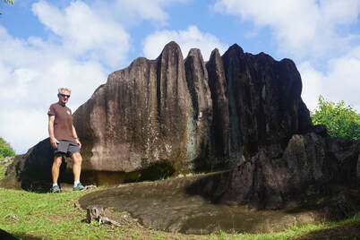 Funky Rock Formations Funky Rock Formations
Heading back down we stop at another viewpoint, which is looking directly back to our anchorage. The hum of cicadas accompanies us on our walk, which always reminds us of home. Heading back down the hill we were planning sticking a thumb out for a lift, but all the cars are coming the opposite way! We make a stop at the Randonee de Gambross, which is a very small picnic area with some interesting rock formations, and we can rest our legs for a bit. We end up walking all the way back to the Jardin Botanique but at least it was downhill. We could stop at a few roadside fruit stalls to buy some of the lovely fresh fruit and veg, grown in people’s back yards. We head back to the boat and when we get there the anchor alarm is going off, ooops, we are sitting on the muddy bottom! After holding well all through the night the anchor has given way in the soft mud at the river mouth and ITIKI has drifted into the shallows. We get the engines going and manage to move off slowly. Hmmm, that could have been worse! We had noticed that the charter boats tended to anchor further east and closer to the north shore. They may have moorings there or maybe they know it’s better holding.
We decide to head south down the east coast, staying inside the reef, and end up at an anchorage called “The Pool” on the southern end of Raiatea. It’s just by a private motu, which doesn’t give much protection from the easterly winds, but its quite lovely and the water is crystal clear. There is a small coral garden just behind us which I spend some time exploring.
The next morning we continued up the west coast or Raiatea, to the anchorage off the Village Tairineneva, a 14nm hop.
Firstly we motor gently across a tight, shallow channel over coral and rocks, back to the main passage. From there we followed the channel inside the reef before heading outside of the reef to bypass a gnarly-looking shallow bit, before coming back inside the reef again. Anchored to north of the motu and there are a couple of other boats here. We have strongish winds but at least it is consistent. Sometimes the current is stronger than the wind and we end up side on to the wind.
There is not much to do here and we read that the locals don’t like boats anchoring here, so the next morning we moved north to the anchorage at Motu Tau Tau. Motored inside the reef, passing the gap between the Raiatea and Taha’a islands. It’s quite wide and wind funnels through here and we don’t seem to get a lot of protection even when we turn the corner and are directly behind Taha'a island. As often happens the strong easterly winds wrap around the islands. We anchor to the north of the bungalows with 2 other boats. There is another anchorage to the south and which ends up with 9-10 boats, so seems we chose well. We are seeing a lot of charter boats now and they do tend to stick together. Took the dinghy over to the motu and snorkelled without fins around the shallow coral garden. It’s looks pretty good and the water is clear and shallow and teeming with fish. Check out the video below to join me under the water...
In the morning we took the dinghy to the beach and walked along the shore of the middle motu, as far as we could to the west side. Got in the water for a snorkel, found a gap in the coral and started drifting. It was quite fast at first and had to stop myself a couple of times, grabbing onto some dead coral. It’s difficult to steer without fins, but as it is so shallow they would have caused a bit of havoc. Its shallow enough to stop on a rock or sand patch, stand up and look for a gap then get back in the water and head for it. The flow rate slowed as we got further along and there were sand patches. As I got all the way to the end of the channel and coral garden I saw a huge ray swim under me, pretty freaky.
After lunch it got a bit bouncy in the anchorage so we decided to take a look in the bay opposite, on the main island of Taha’a. Picked up a mooring buoy which looked a bit ordinary, and then the boat in front of us left so we moved to their buoy. Went ashore for a look, but sadly the rhum distillery and tapas bar was closed as its Sunday. As time waits for no man, or boat, we set off the next morning for our final (official) island of French Polynesia, Bora Bora, which is 28nm to the west.
The island of Huahine is an immense tropical jungle, with thriving with coconut plantations, vanilla orchids, banana groves, breadfruit trees and watermelon fields. The island is divided into two parts: Huahine Nui (big) and Huahine Iti (small). The name Huahine, a variation of the Tahitian word vahine (woman), apparently refers to a mountain ridge resembling the outline of a pregnant woman—a symbol of the island's fertility…
It’s quite a passage from Tahiti to Huahine at 108nm so we head out of Tahiti’s airport anchorage in the late afternoon, straight into a squall with gusts up to 35 kts! Great timing. Put the main up with one reef and genoa out. The sea state is terrible, really big waves and quite short period and with the strong winds make it very uncomfortable. We get several squalls during the night and it's pitch black too. It's so uncomfortable that we end up having to slow the boat down, which goes against the grain.
Lost the breeze in the morning and motored the last 20 miles or so. Although it’s a small island it’s a reasonable distance from the bottom of the island to the cut on the NW side. As with all of the society islands, Huahine is surrounded by reef and we enter through a cut, or opening in a reef. We have a couple of guys in outrigger canoes chasing us in to ride our wake. They look like they are in serious training and it’s hard to make them smile…
There are no mooring balls available at Tahateo and the holding here is not great. The bottom looks like sand but it’s hard to get a grip as its a shallow layer of sand over rock and it took us 3 goes to get the anchor to bite. We finally dig in and head ashore to find out what is going on in town. We decide on Sunday lunch at Chez Tara in the south of the island. It’s a Polynesian feast cooked in an earth oven. Sounds perfect!
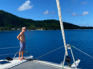 Avea Bay Avea Bay
It’s only 7nm down to the southern anchorage and we can stay inside the reef, but we have to navigate the narrow channel carefully as there are some shallow and narrow sections, but it’s well marked and our charts are accurate. We pass a couple of other anchorages including one at the mouth of the bay where the two halves of the island join.
Avea Bay is a really lovely anchorage with a small and very discreet resort. We pick up a free mooring buoy, there are 3-4 other boats around. We go ashore and book in for lunch tomorrow at Chez Tara and we are also able to book a hire car for Monday. We take a walk along the lovely, white sand beach. The bay gets busier and busier throughout the day, with charter boats coming to join the feast tomorrow and soon all the buoys are gone. Traditional Sunday Lunch
On Sunday morning we head ashore just before 11am to see the earth oven being opened. It is well insulated, covered with tarps, corrugated iron and banana leaves! It takes several guys to lift the cage, containing the meats, out of the pit and move it aside, revealing the hot coals - we can feel the heat radiating off them. They start unpacking the meat, some of it is in pots, some wrapped in banana leaves.
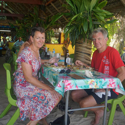 Lunch in our Sunday best Lunch in our Sunday best
We have some lovely traditional music to accompany our feast, with a band playing ukuleles and drums. All of the staff are dressed in brightly coloured clothes with flowers in their hair, which makes for a very festive atmosphere. After a small rain squall come through we move our table back a row but we are still overlooking the beautiful beach and anchorage. The buffet is a huge spread and it’s hard to keep track of what is going onto our plates. As well as the delicious meat (including lamb!) there is the traditional cerviche (raw fish in coconut) and excellent fresh salads. I end up with a hunk of pork but will palm it off onto Keith’s plate. It’s all delicious and beautifully cooked. Desserts are very sticky, sweet and filling. We have a lazy afternoon after that one!
Road Tour of Huahine
We head ashore the next morning to pick up the car. Starting an anti-clockwise island circuit, we visit a Marae which is archaeological site (ie a stone wall) which was once a traditional meeting place. There are a number of these dotted around the island. We stop at various view points along the winding road which follows the coast on the eastern side, before coming into the lagoon between the two islands and crossing the bridge that joins them. The highlight was visiting the unique, “Sacred” blue eyed eels. They were just in a creek by the side of the road, semi-hiding under a concrete ledge. Quite large and lively creatures, and yes they really had blue eyes! They even turned on a smile for the camera! A tour group came along and the guide started feeding them and it got a bit raucous, so it was time to go.
Next stop was a “floating” pearl farm that was actually sitting on a lump of coral in the middle of the lagoon, between the islands. A small, motorised outrigger shuttle took us out to it. Basically it’s a pearl shop with a small demonstration of the pearl seeding process, which we have seen before. Something akin to IVF with dentist’s tools…
We stopped by some traditional, stone fish traps that are in a river by a bridge. These are similar to the aboriginal ones we have seen in Australia but seem to be well maintained and still in use today.
We also stop at a few more view points and archaeological sites, as well as a vanilla farm before heading to the main town. Here we run into some fellow cruisers and join them for lunch at the Yacht Club. From here we return along the western shore and back to our anchorage.
Well we have pretty much done Huahine so after a final day relaxing, walking on the beach, swimming and chilling we will leave for the next of the Society islands. Fortunately only a short hop across to the twin islands of Raiatea and Taha’a.
|
AuthorAfter more than 5 years of (minus time off for Covid) and more than 27,000nm Lynda has finally got the hang of this cruising life Archives
June 2024
Categories |


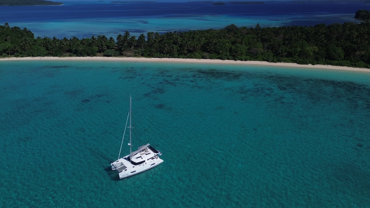
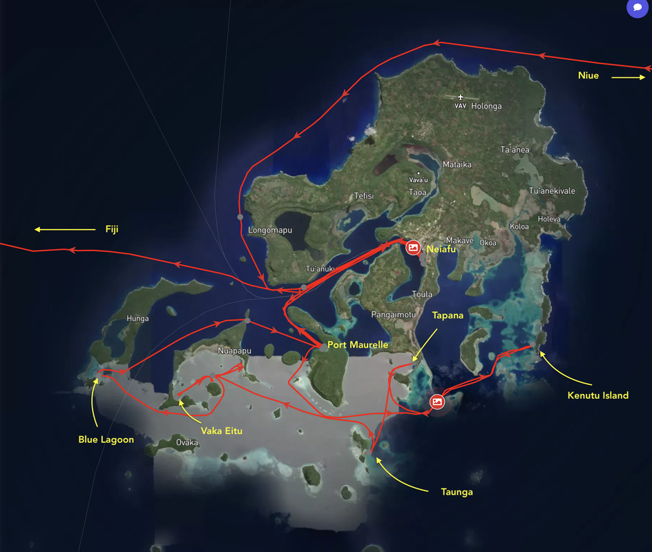
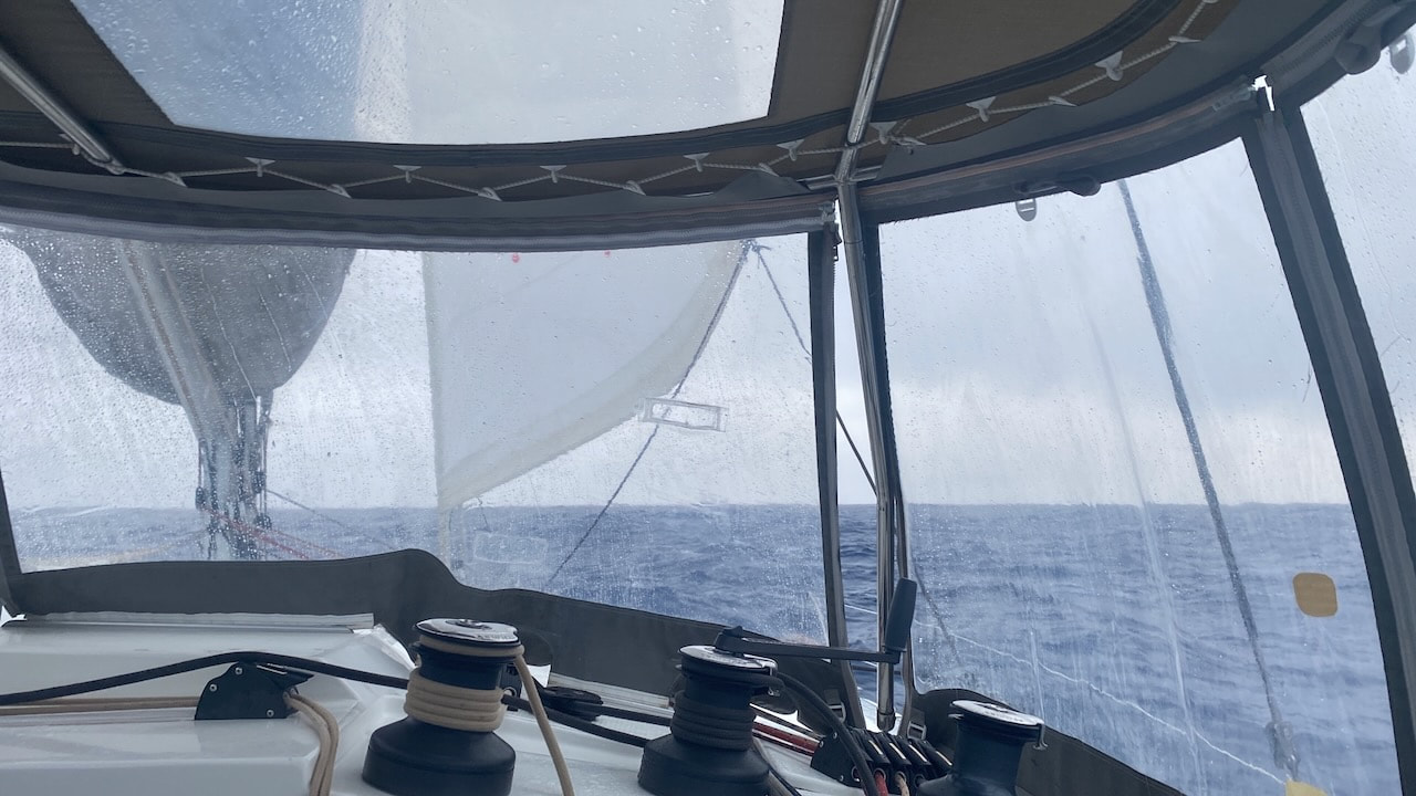
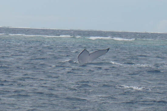
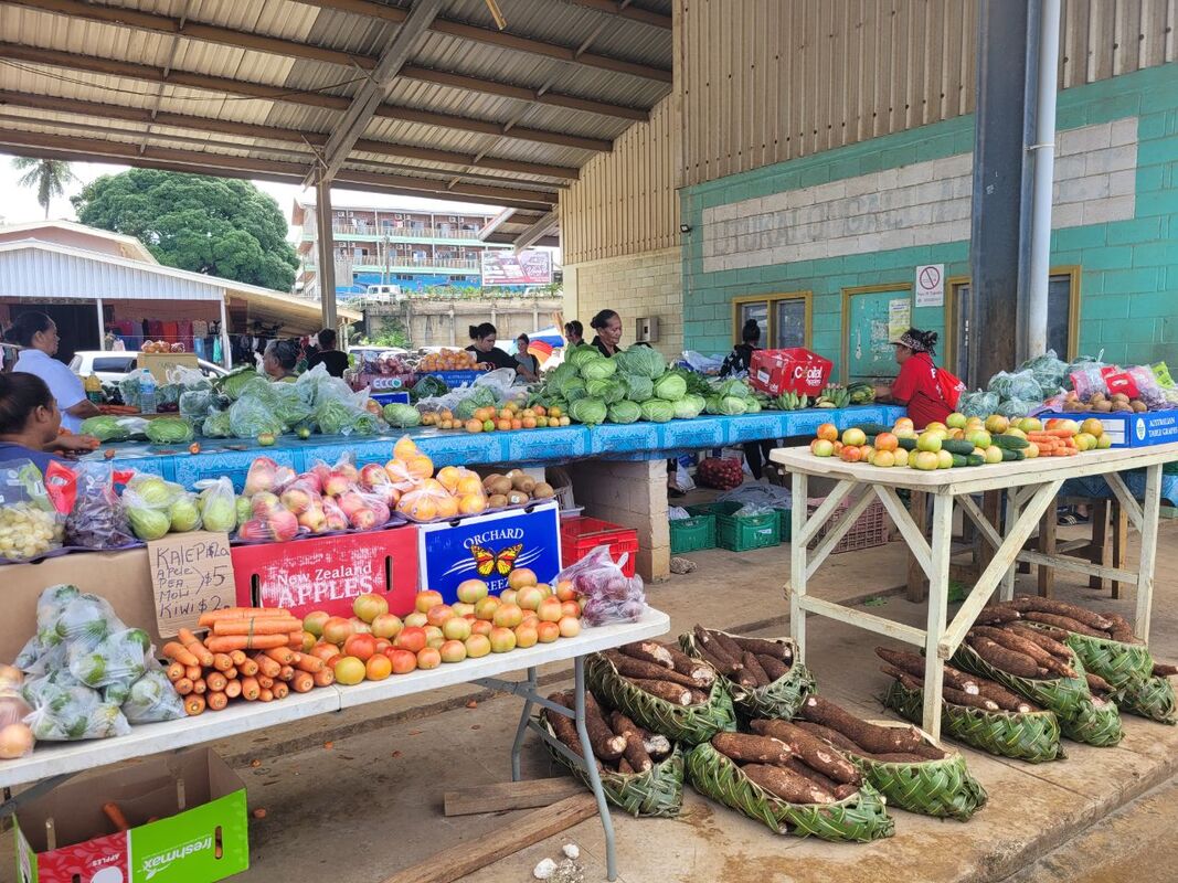
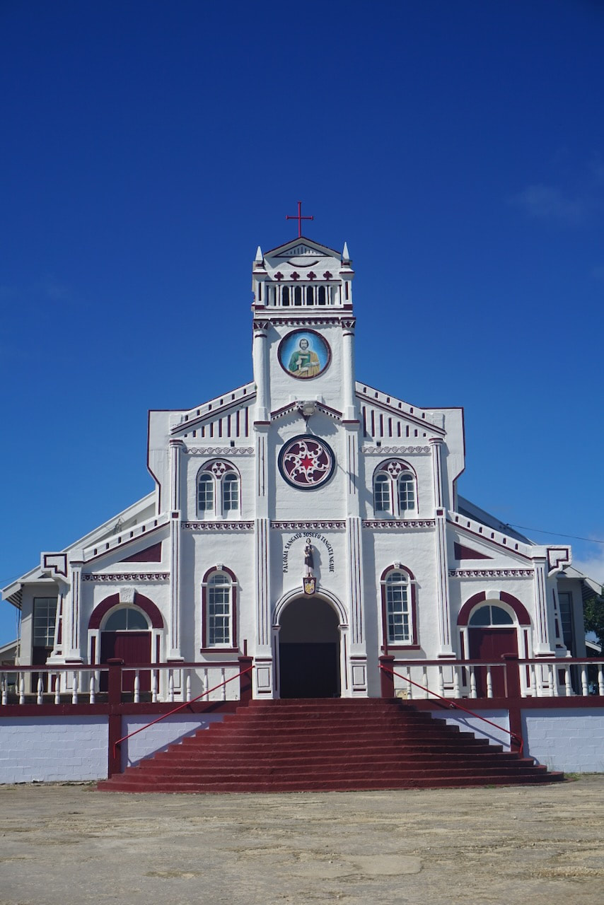
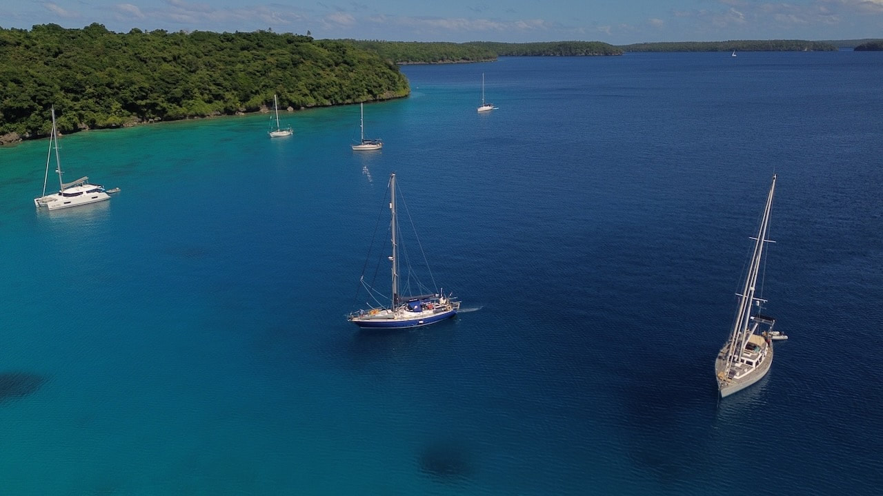
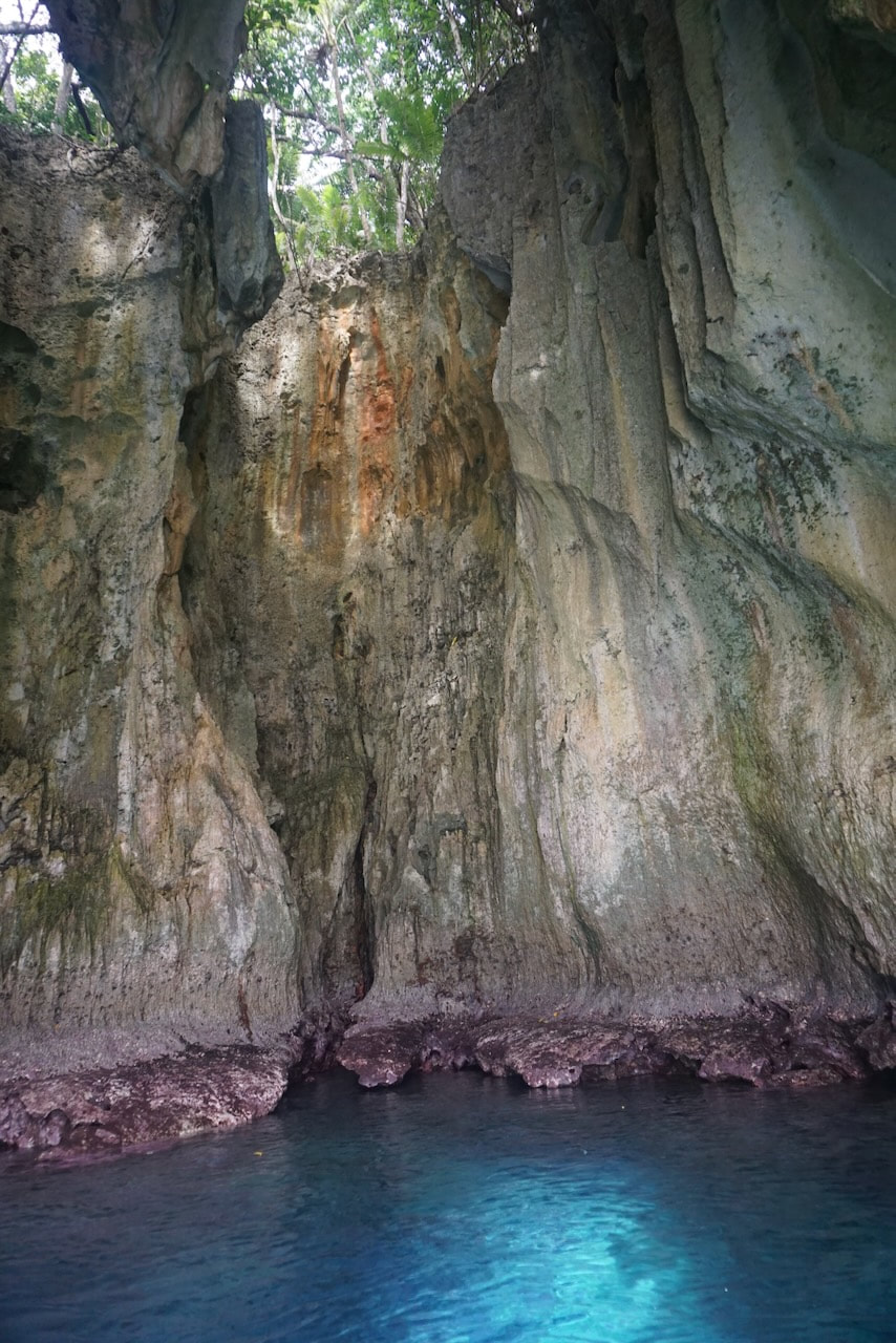
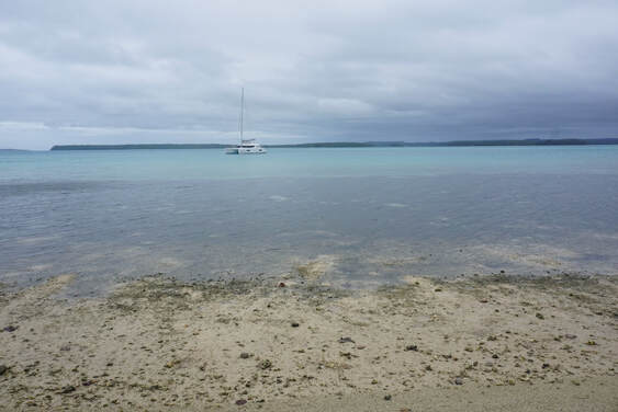
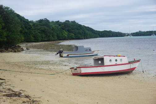
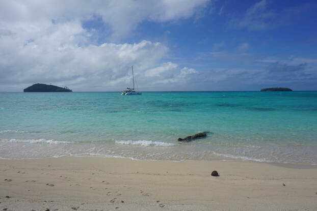
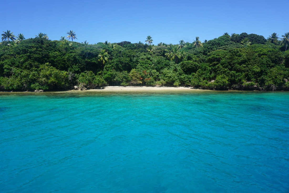
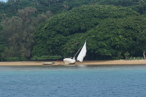
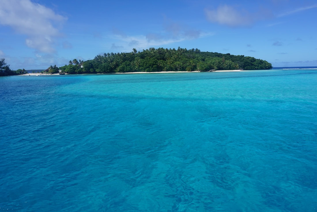
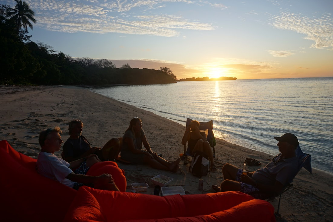
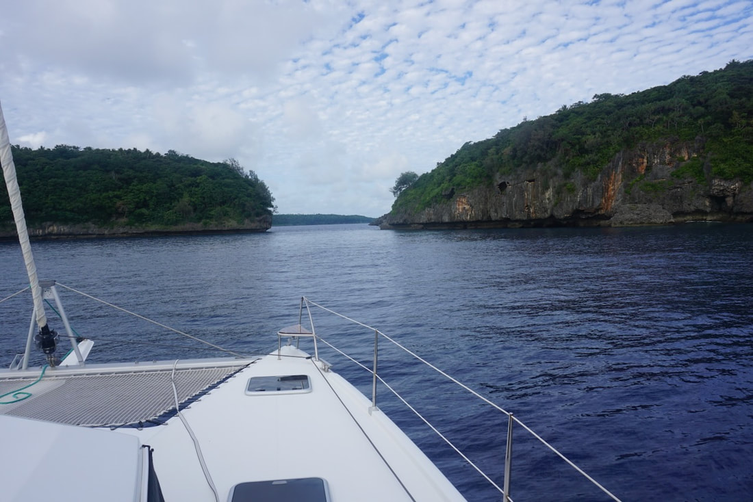
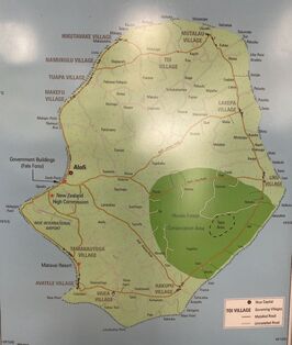
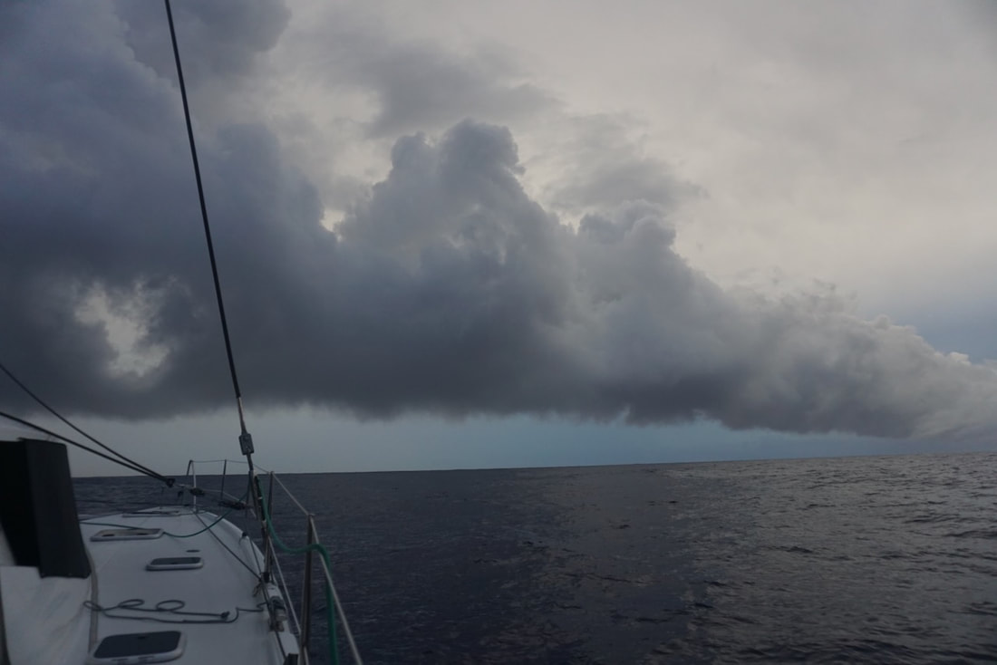
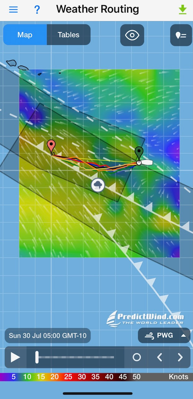
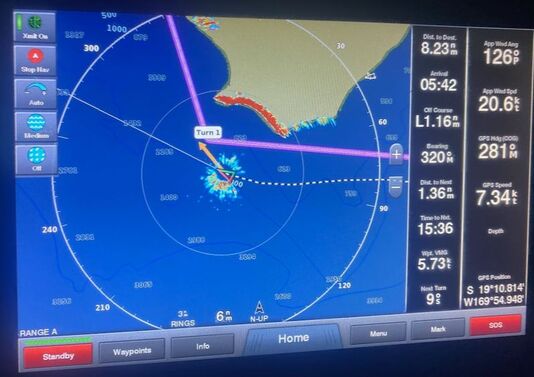

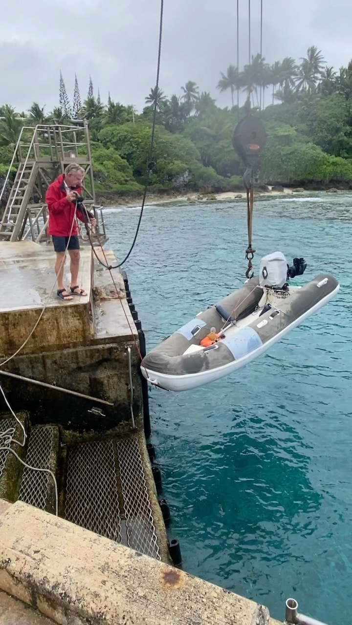
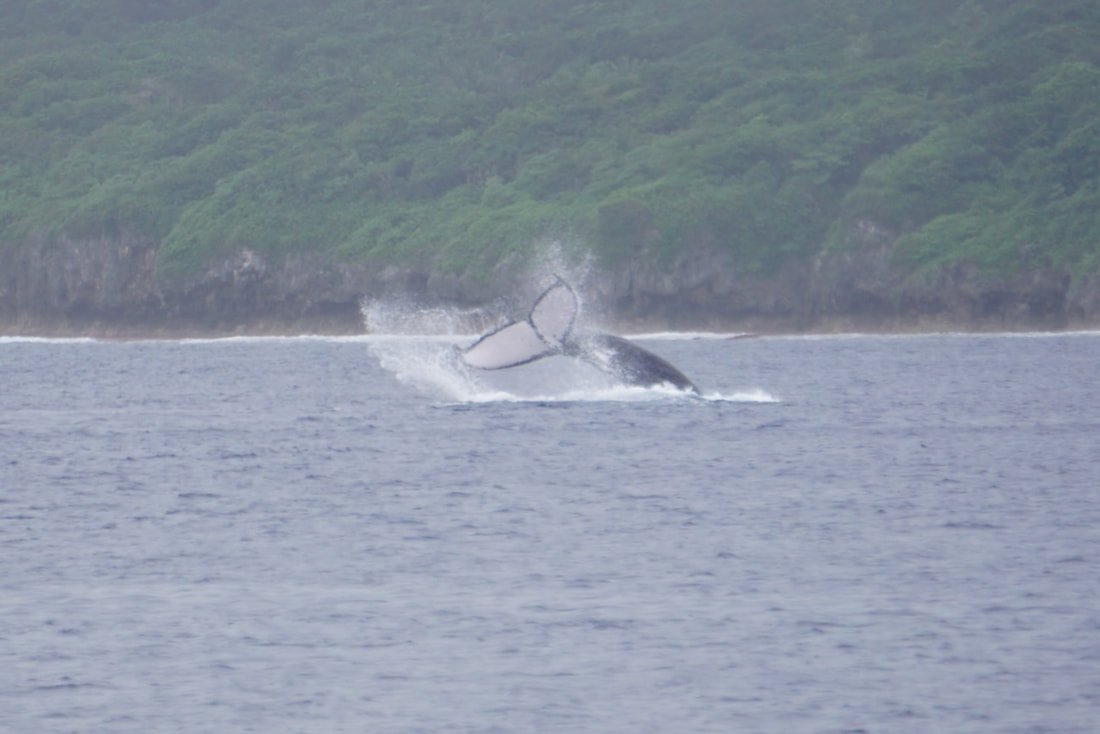
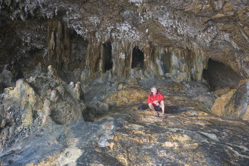
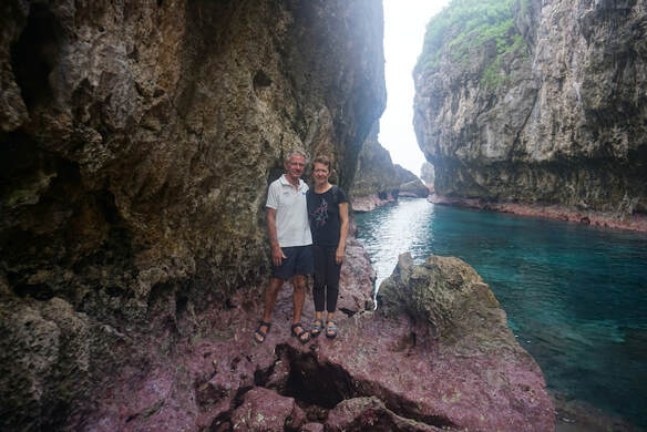
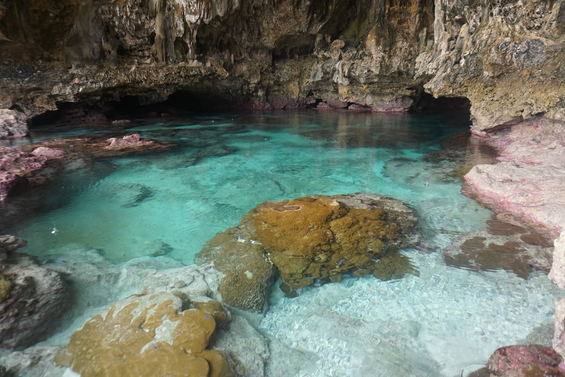
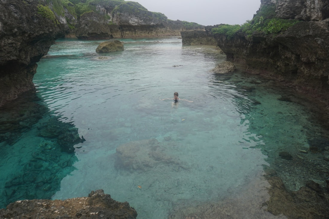
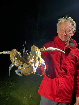
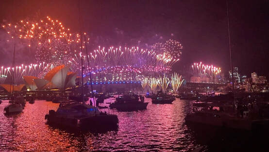
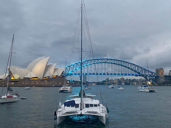
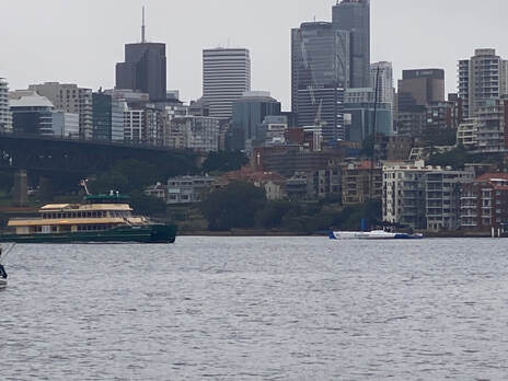
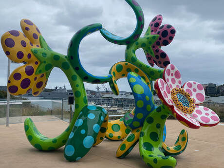
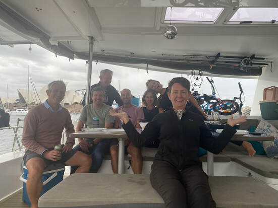
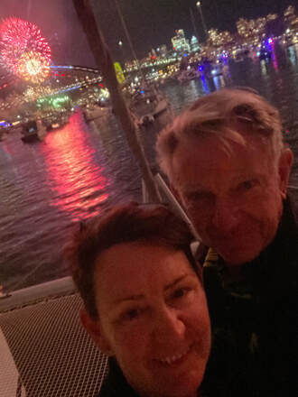
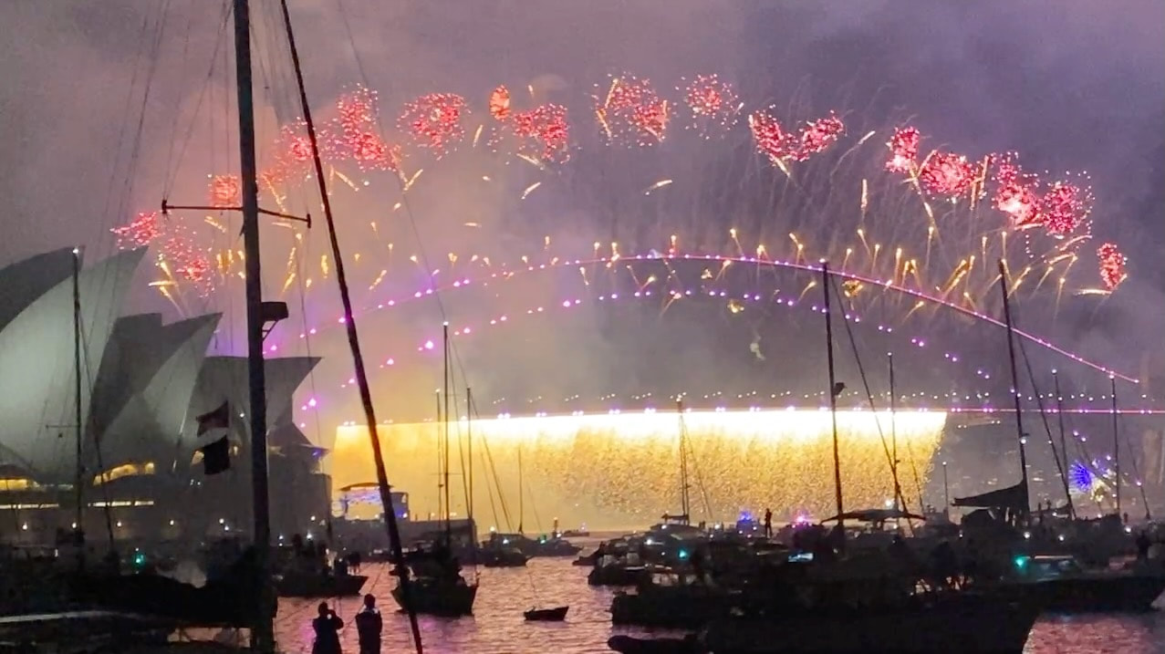
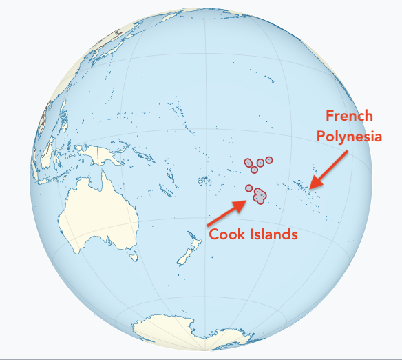
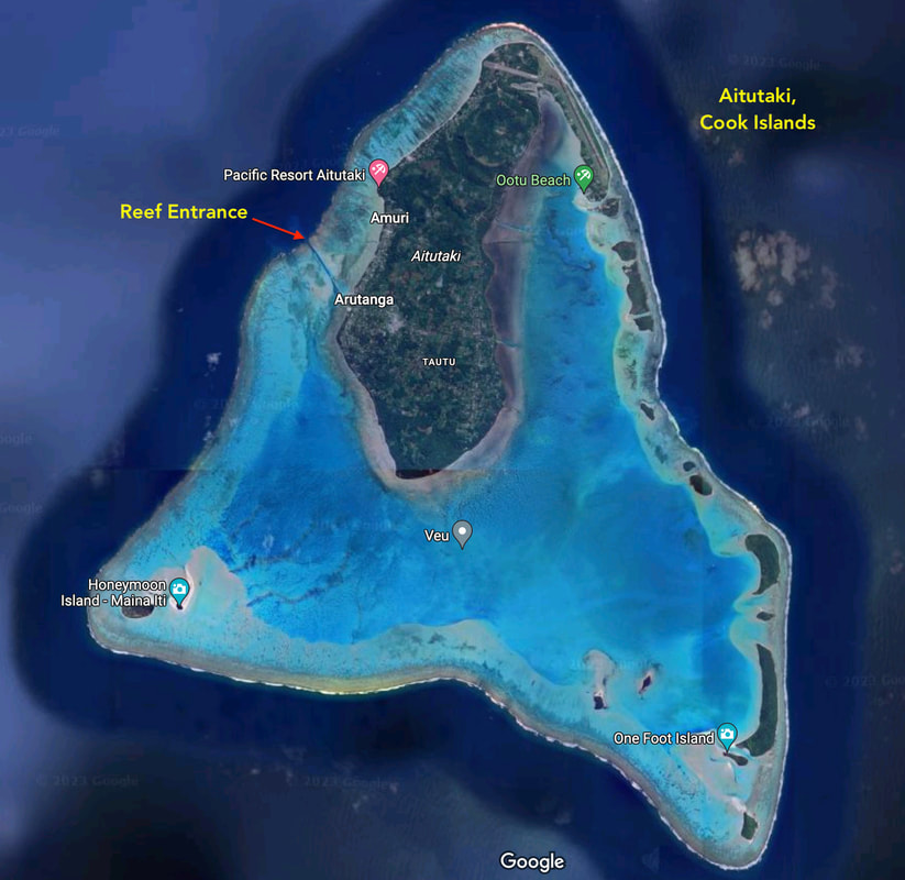
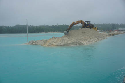
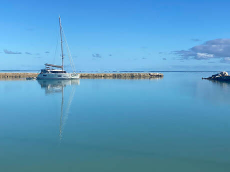
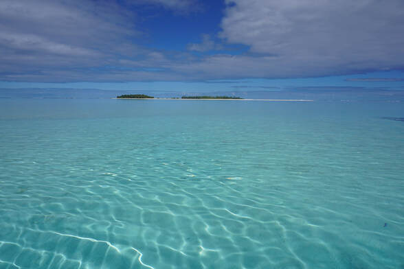
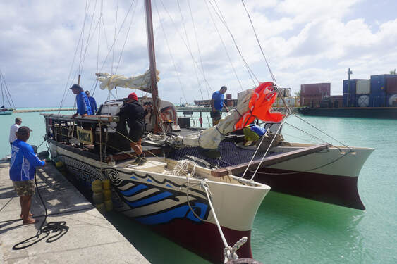
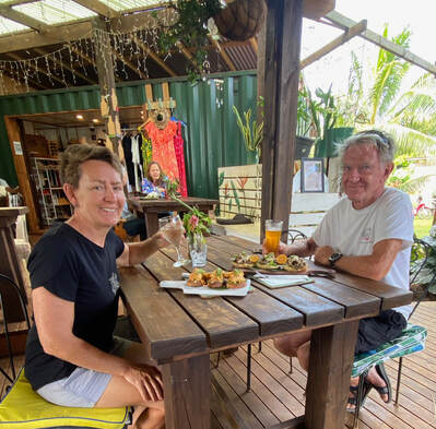
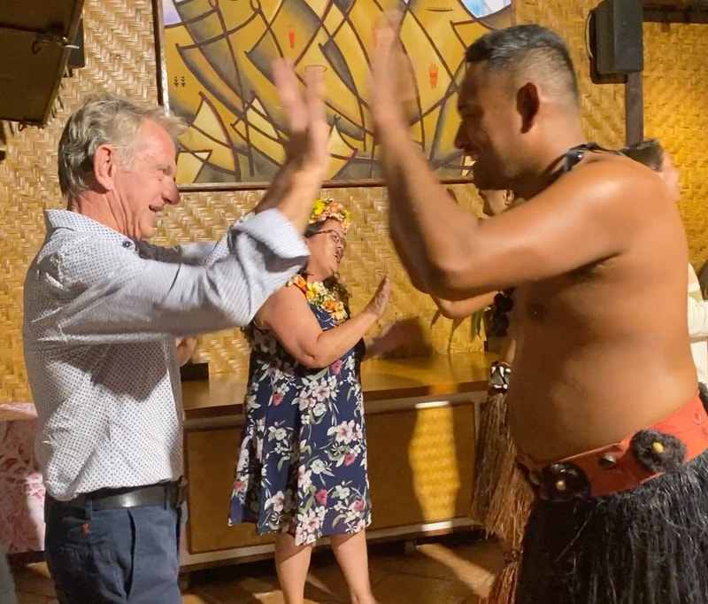

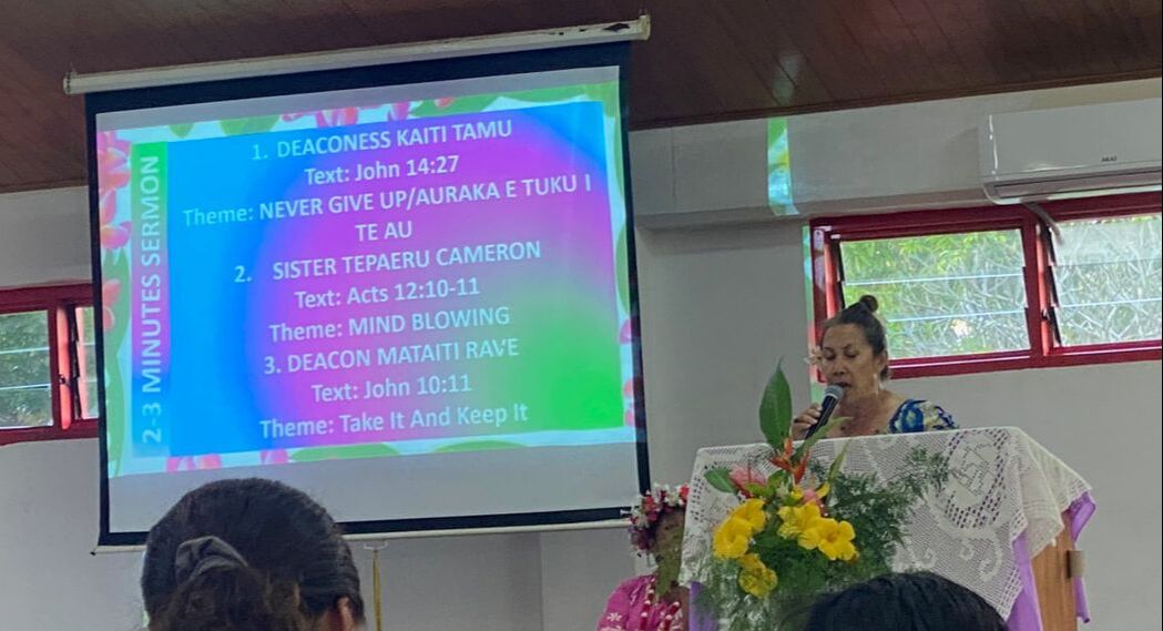
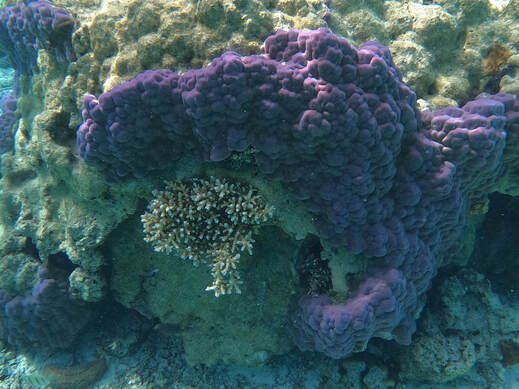
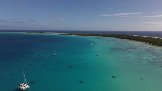
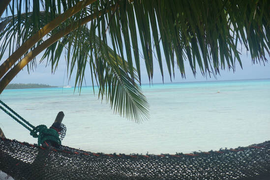
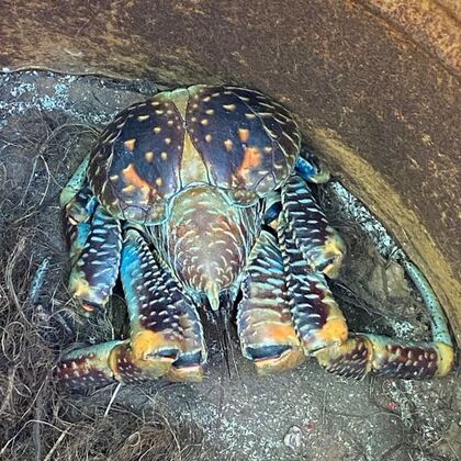
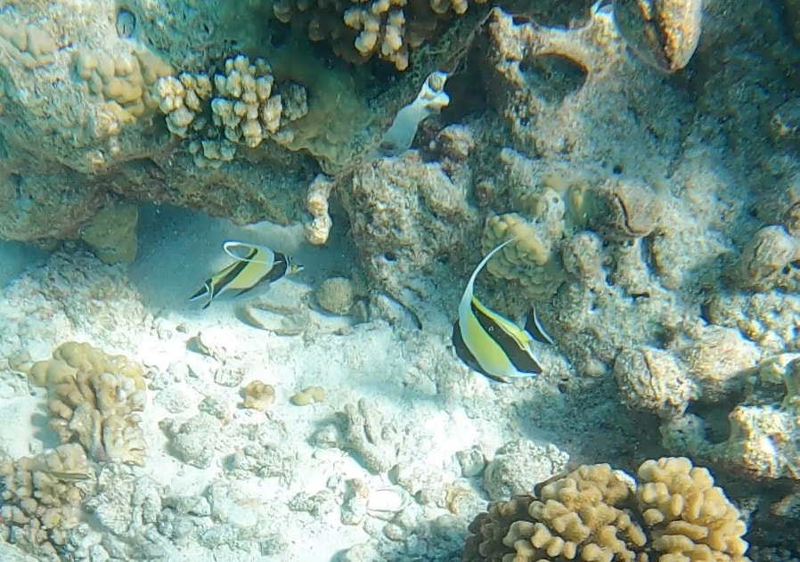
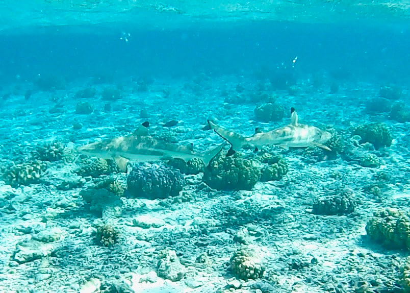
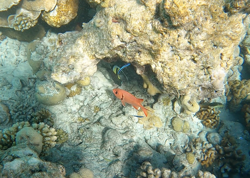
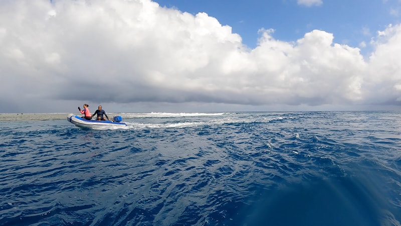
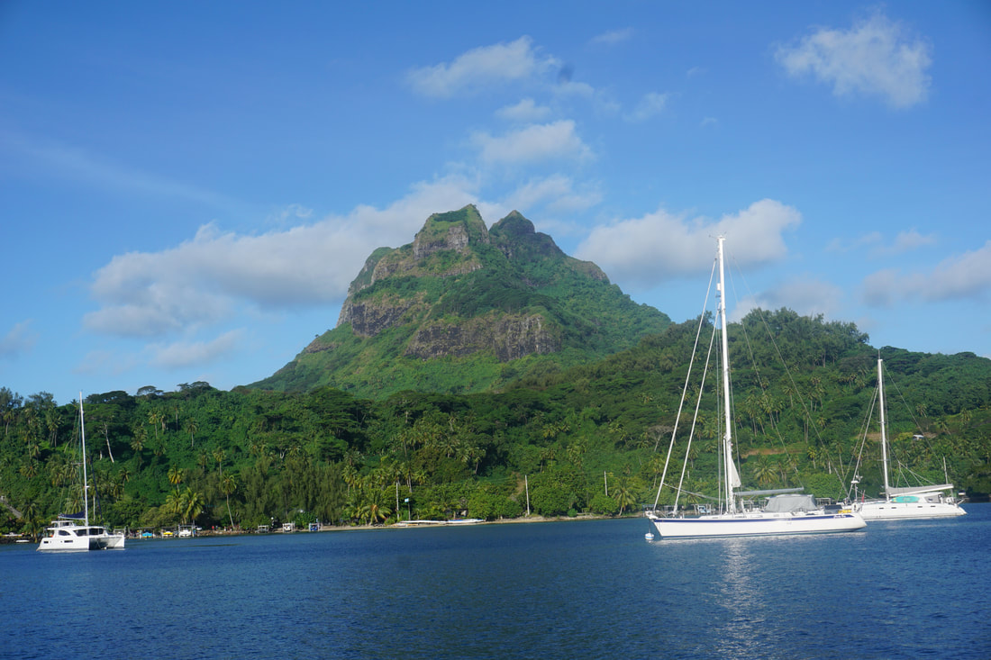
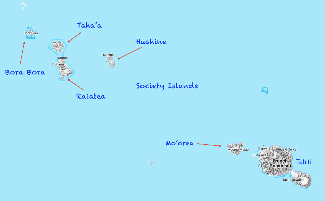
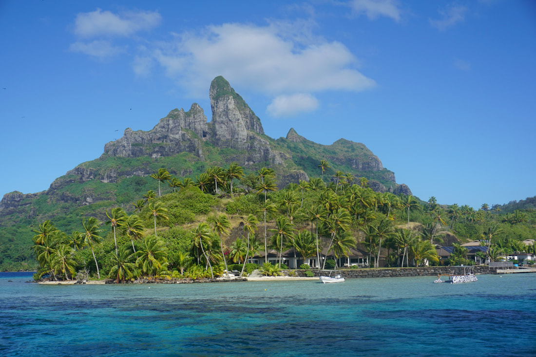
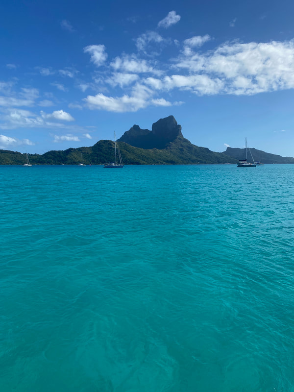
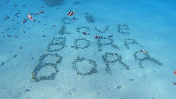
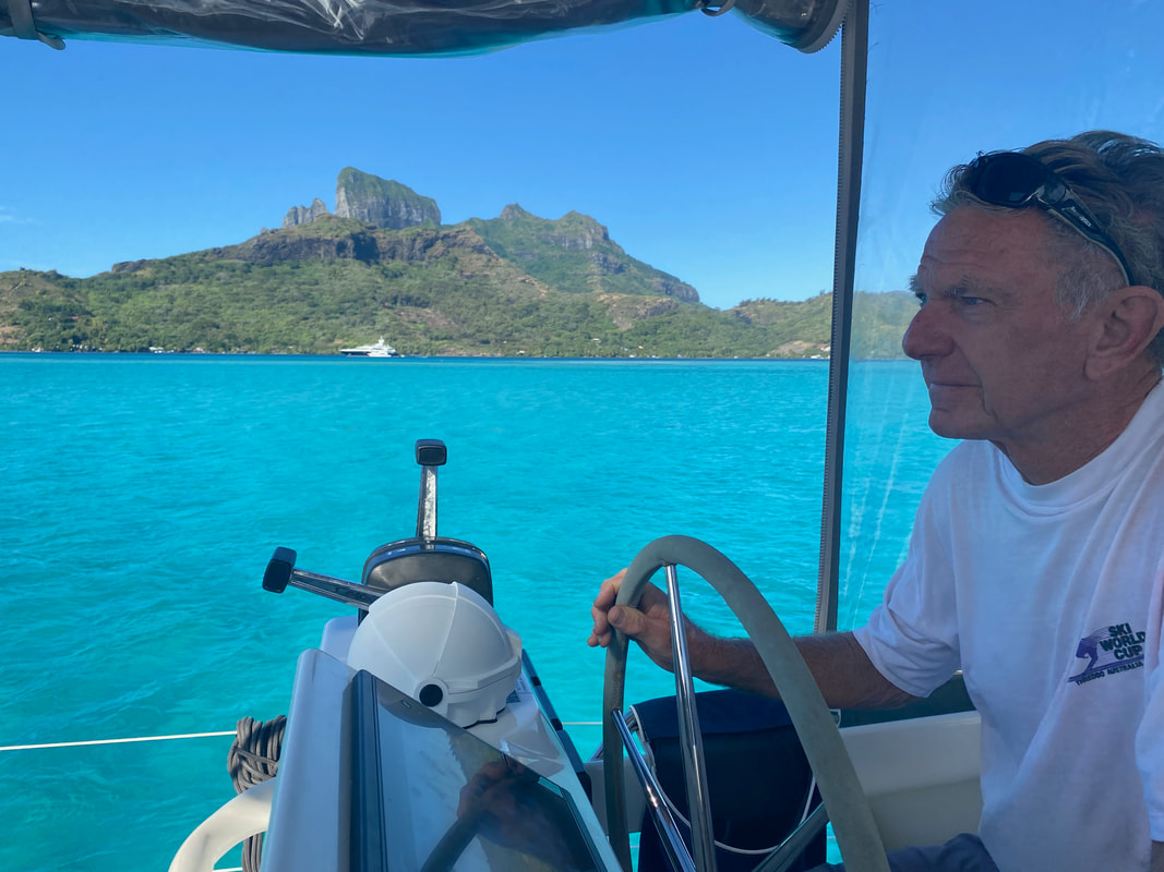
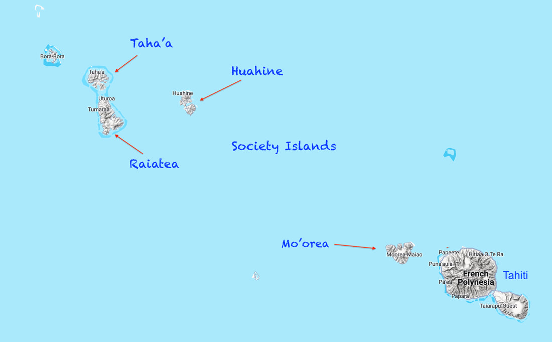
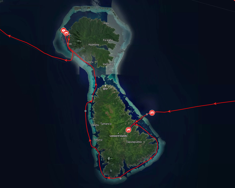
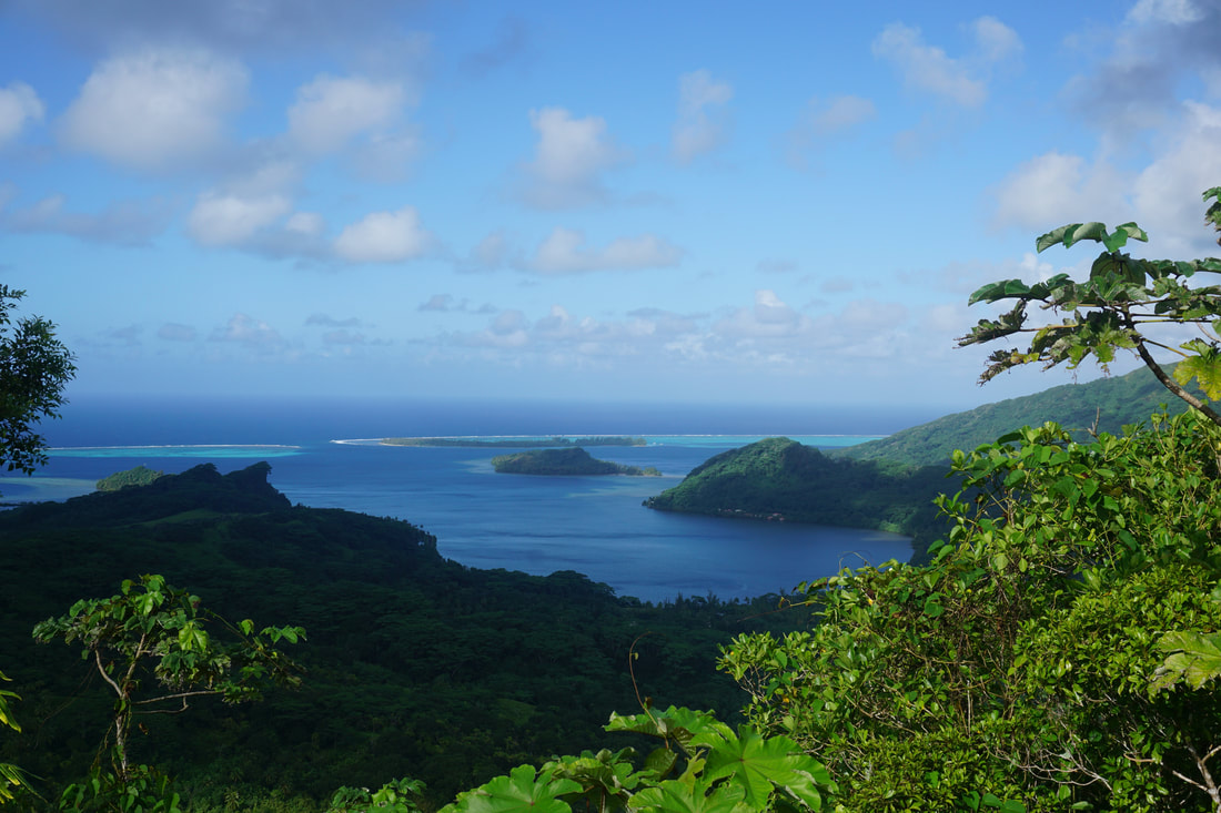
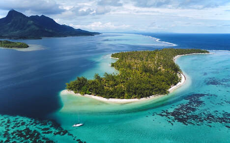
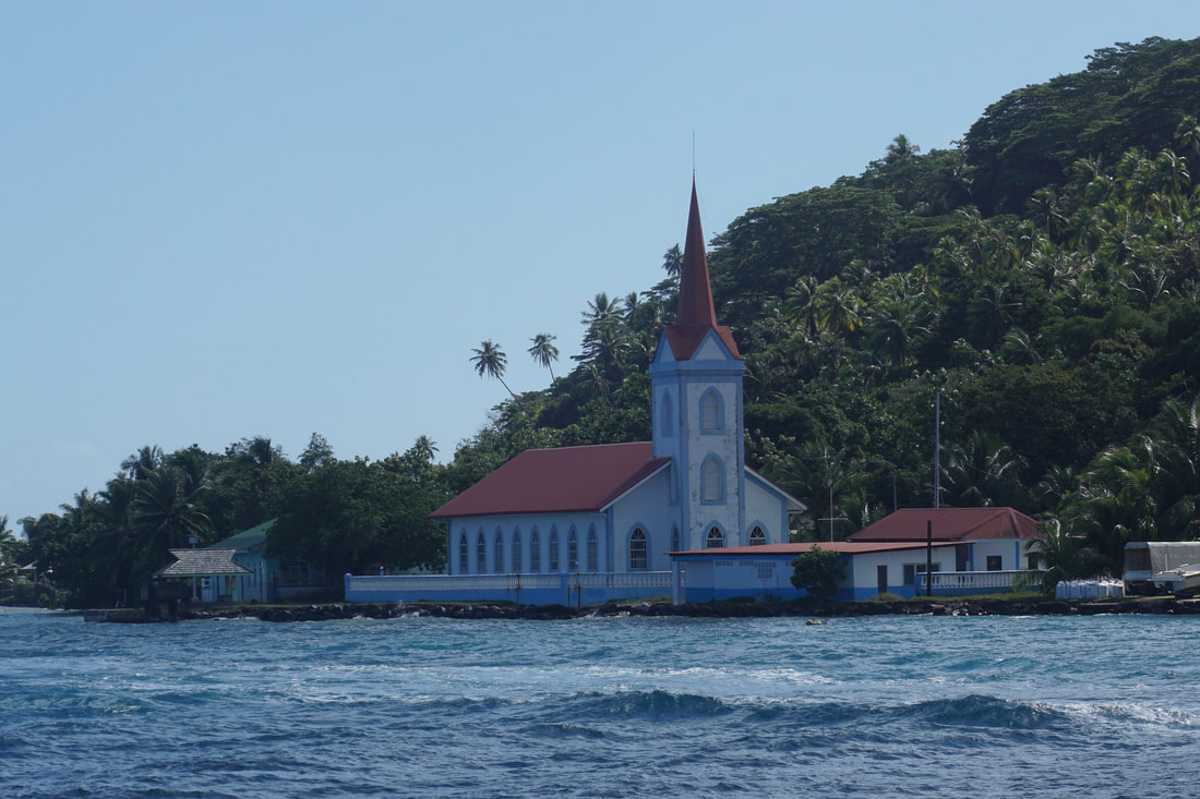
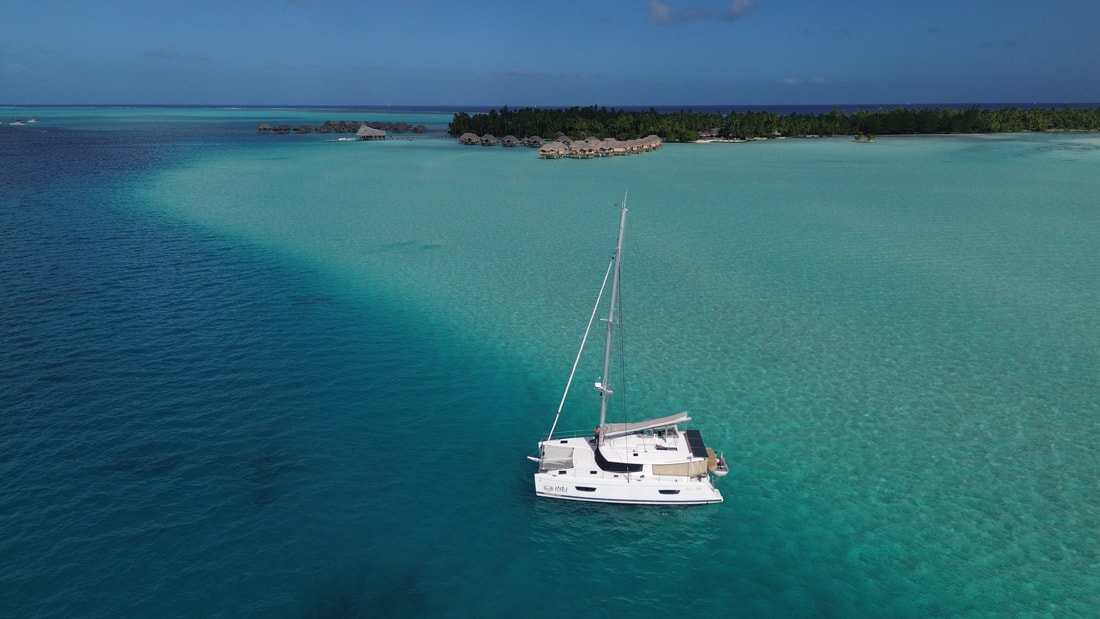
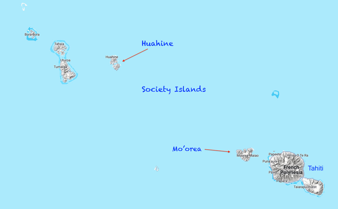
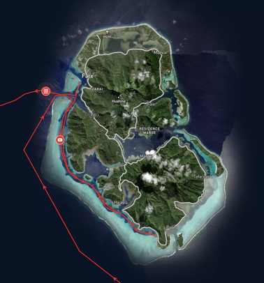
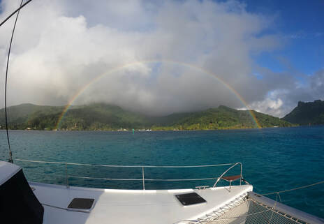
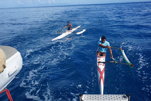
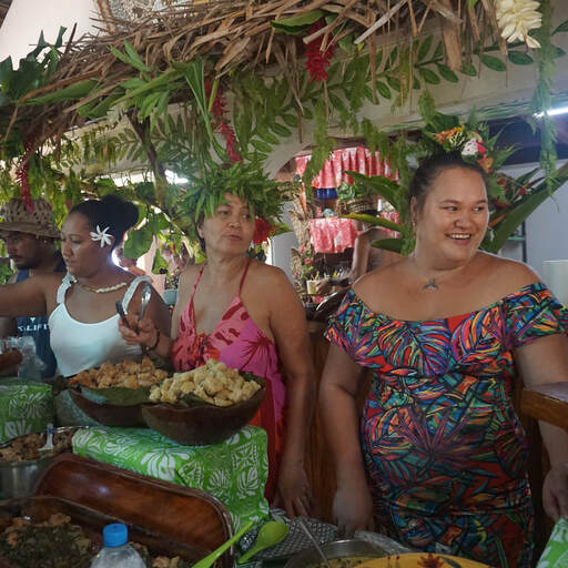
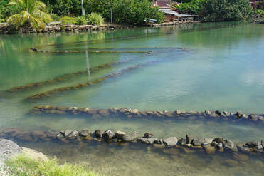
 RSS Feed
